
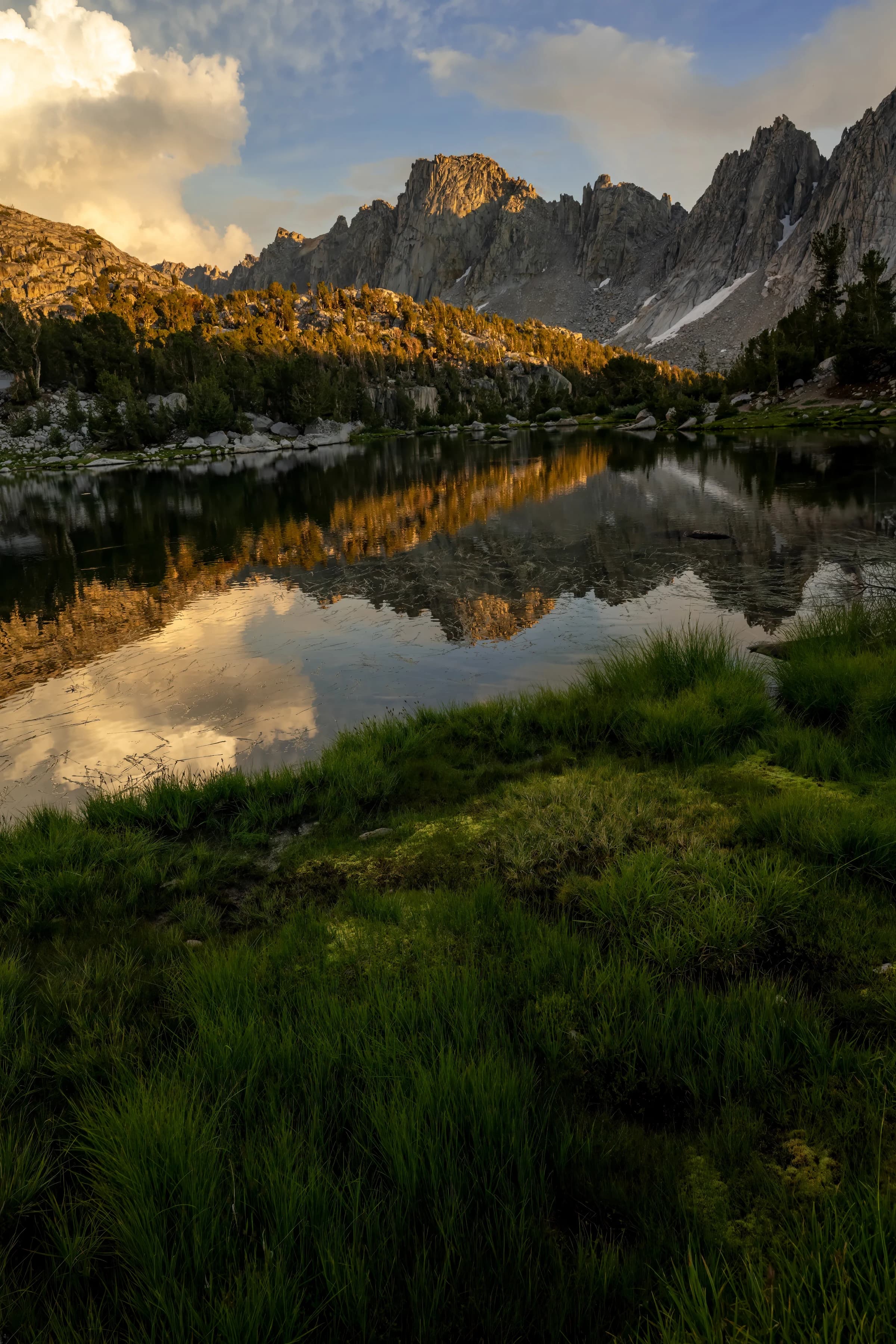
Kearsarge pinnacles at sunset
Kearsarge Pinnacles is a linear series of 12 pillars and crags on a northwest–southeast trending ridge located one mile west of the crest of the Sierra Nevada mountain range, in the southeast corner of Fresno County, in northern California.[3] It is situated in Kings Canyon National Park, 11 miles (18 km) west-southwest of the community of Independence, immediately southwest of the Kearsarge Lakes and Kearsarge Pass, and northwest of parent University Peak. The highest, number 4, rises to 12,008 feet in elevation (3,660 meters), whereas number 8 is the most prominent. Topographic relief is significant as the west aspect rises 2,500 feet (760 meters) above Vidette Meadow in one-half mile. The John Muir Trail traverses below the west aspect of this remote geographical feature. The Kearsarge pinnacles, lakes, peak, and pass were named after the Kearsarge mine to the east, which was named by its owners after the USS Kearsarge. In turn, the ship was named after Mount Kearsarge in New Hampshire. In this photo, the pinnacles are seen at sunset with Kearsarge lakes.
July in the High Sierra, and the meadows were lush after a winter of record snowfall. Kearsarge Peak was still holding a few snowfields, and the lake was high enough to flood the shoreline grasses.
Kearsarge Lake, California · 2024
Customer Reviews
Loading reviews…
Guaranteed
Shipping
Payment
Free shipping included · Ships in 5–7 business days