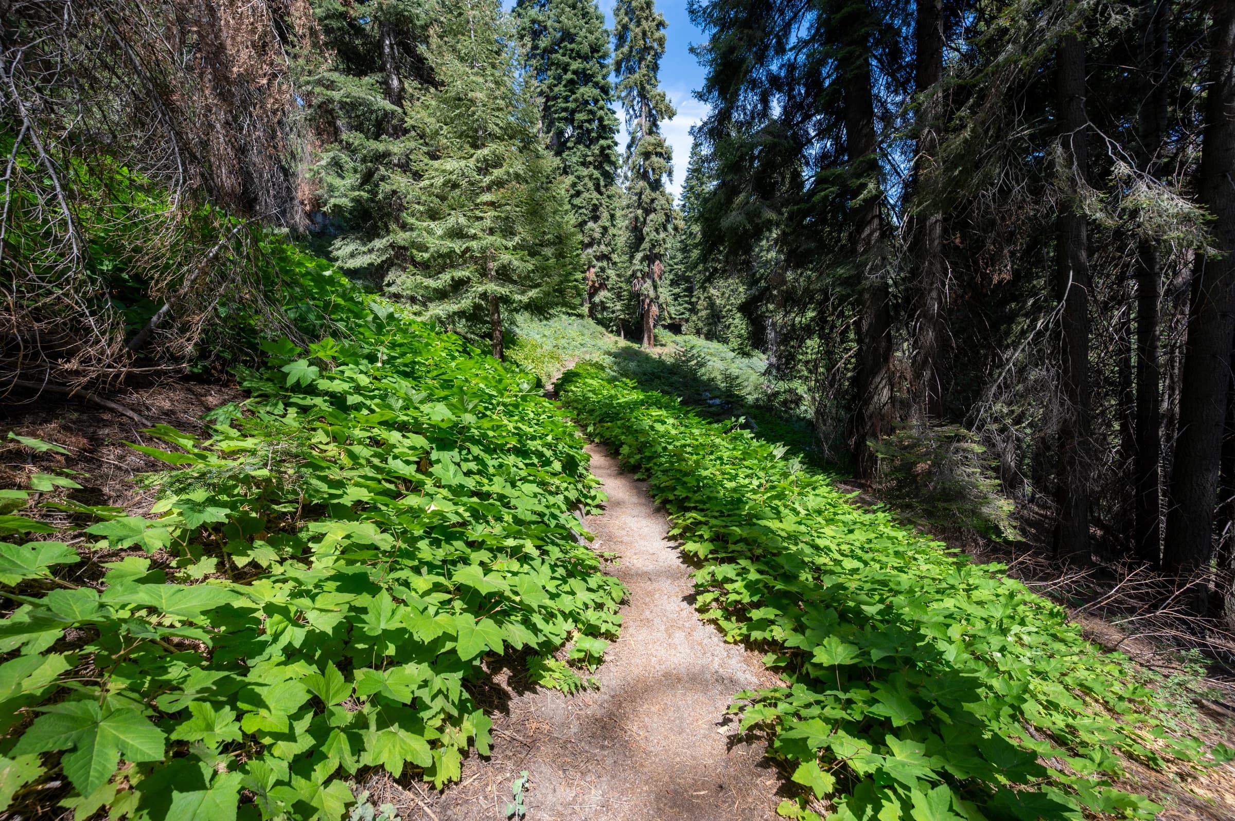
The John Muir Trail was not the first long trail I walked in this range. In September 2019, there was the High Sierra Trail: seventy-odd miles that start in a grove of giant sequoias on the western slope, cross the Great Western Divide, drop into one of the deepest canyons in the Sierra, and climb out of it to meet the JMT at Wallace Creek. From there the two trails run together to the top of Mount Whitney. This chapter is the western half, the part that is entirely its own trail. The rest of it becomes the next chapter.
The permit for the HST is first come, first served, and the date to apply is 12:01 a.m. on March 1. I set up a Gmail plugin to send the application in at that time, and got my second-choice dates. I had been thinking of June, but the enormity of that winter made me push it to September. Glad I did. The trail starts among sequoias at 6,700 feet and ends eight days later on the highest summit in the contiguous United States.
Day 1: Crescent Meadow to Nine Mile Creek
The first mile is the gentlest on the whole trail, a level walk out of Crescent Meadow with sequoias standing off in the trees. Eagle View comes up about a mile in, and with it the first honest look at where you are going: the Great Western Divide laid out across the horizon, and the Middle Fork of the Kaweah a long way down on your right.
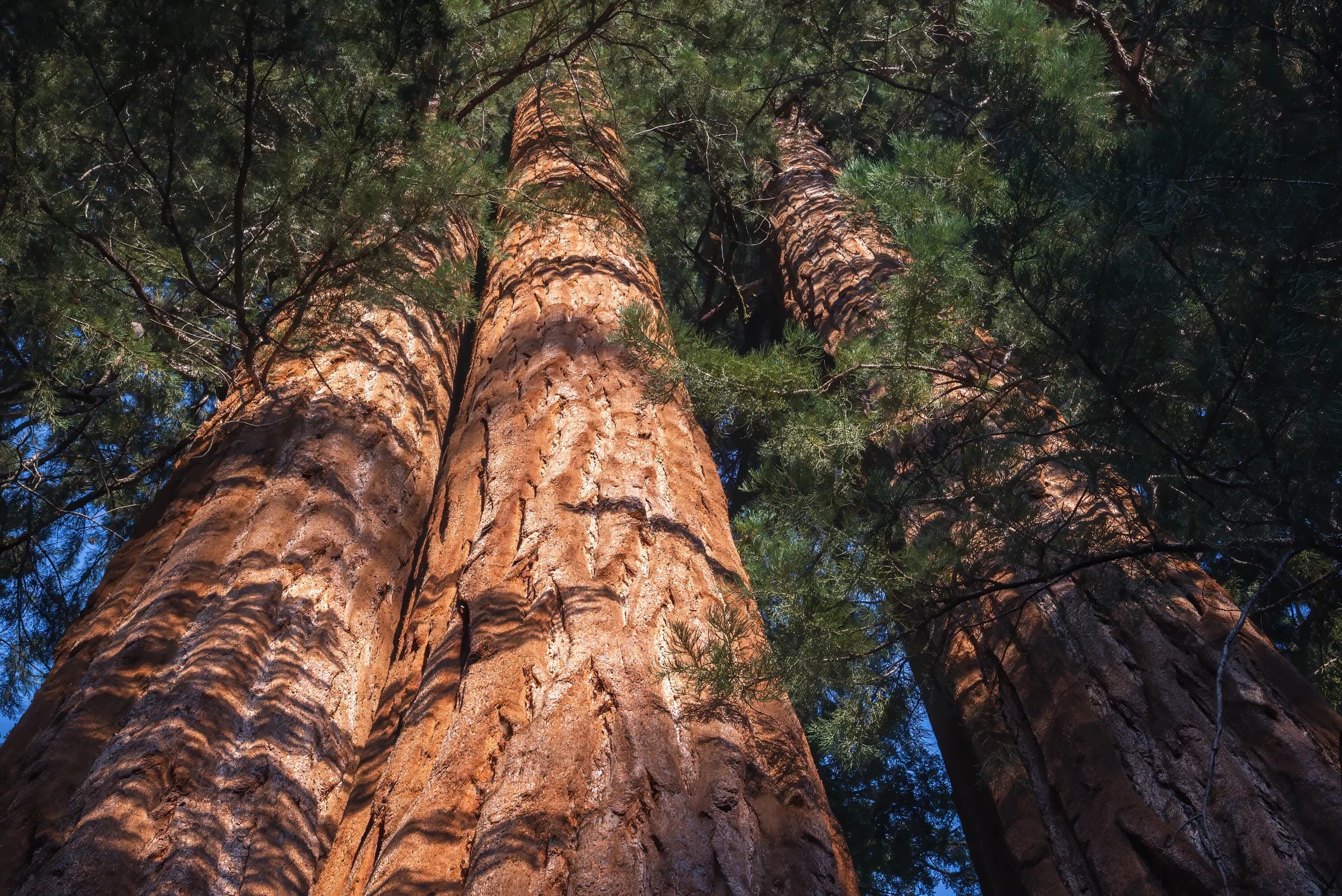
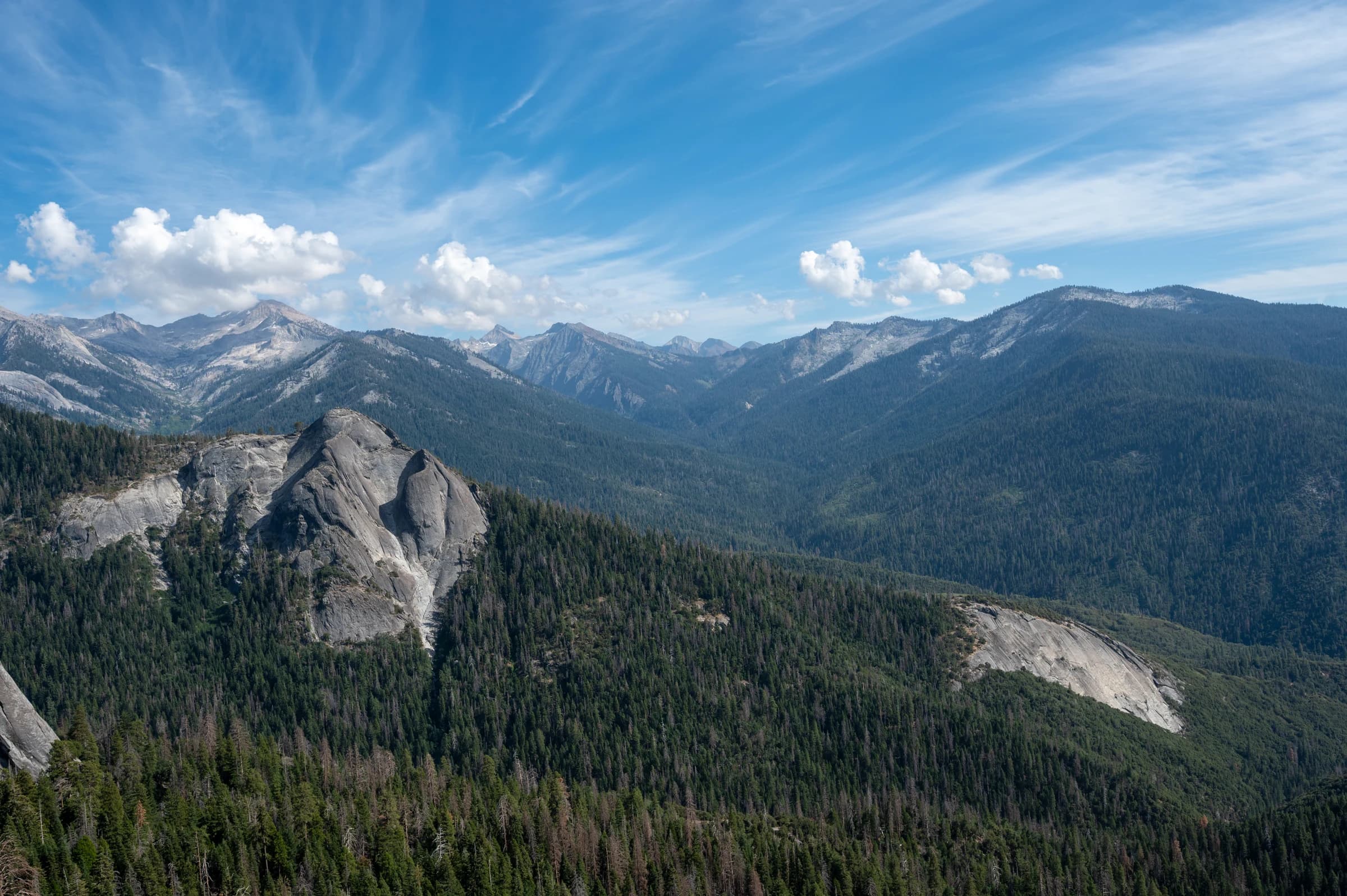
Then the trail settles into what it does for most of the next two days, contouring along the canyon wall, in and out of every side drainage, with stunning views of Sugarbowl Dome. A San Diego backpacking meetup group started the same day and caught up with me by mile three; I would play catch-up with them for the rest of the hike. I crossed Mehrten Creek at six miles and stopped at Nine Mile Creek by five in the afternoon, short of Buck Creek, which I had meant to reach. The San Diego group was already relaxing there.
I saw three bears that day. One from the car on the Generals Highway, one at the trailhead before I had taken a step, and one at about the five-mile mark that decided to walk parallel to me, a few feet up the slope, for the better part of a mile. I made noise and it eventually lost interest.
Day 2: Nine Mile Creek to Hamilton Lake
Seven miles, and the shape of it is a descent and a climb: eight hundred feet down into the Lone Pine Creek drainage and back out the other side. The original bridge over Lone Pine Creek had been knocked out in an avalanche and was still hanging precariously in thin air. Quite a sight.
Bearpaw Meadow at three miles is the last piece of infrastructure for a long while. Past it the country opens and the Kaweahs come into view, Black Kaweah and Red Kaweah in a row, and Mt. Stewart standing over the head of the valley. I reached Upper Hamilton Lake at half past two, which left plenty of time to take a dip and wash my clothes. As the sun set, the moon peeked above the mountains and lit up Mt. Stewart, and a gorgeous pink hue surrounded the lake.
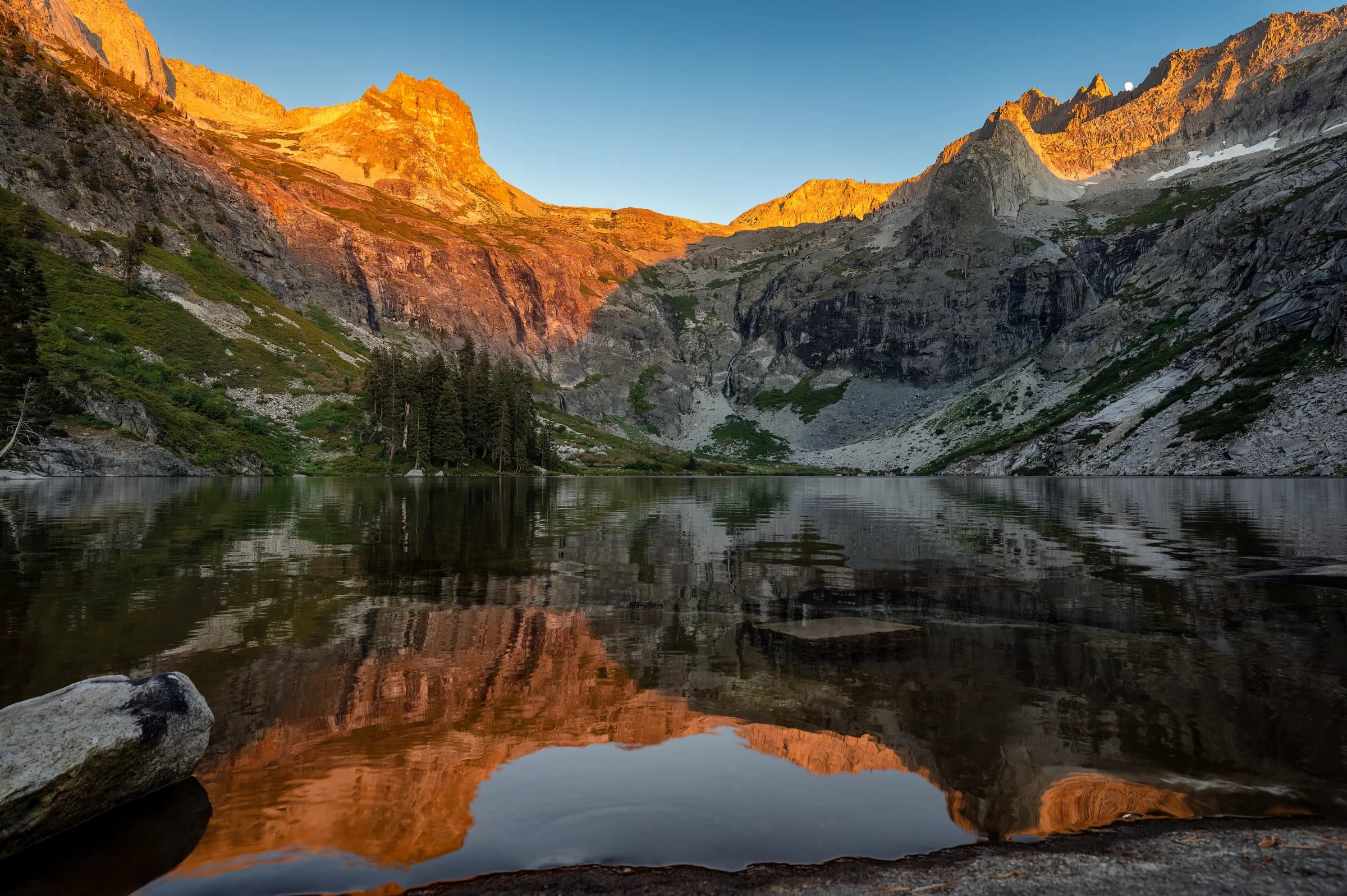
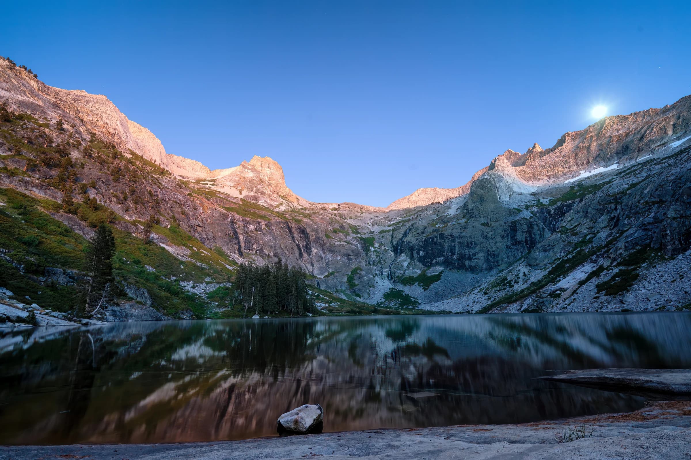
Before I started the hike, there were news reports of a blowout in the trail above Hamilton Lake. I could not locate it. A ranger showed me where: she pointed out the brown scar under the cliffs, and I spent a good part of that evening looking up at it and getting worked up.
Day 3: Hamilton Lake to Big Arroyo, over Kaweah Gap
Two thousand feet of climbing in about four miles, and the best of it in the first two. The blowout turned out to be under repair; a trail crew was laying a fresh platform of rock across the gap. They had started a week before my hike and had already filled in two to three feet of the drop, so it was not as scary as I thought it was going to be. Above it comes Hamilton Gorge, about three hundred feet of trail blasted into the cliff in the 1930s, with a drop off the outside edge that is the single most exposed piece of trail on the route. Partway along, the trail goes through a short tunnel.
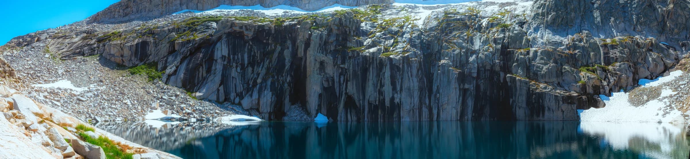
Precipice Lake sits at 10,300 feet under the north face of Eagle Scout Peak. It is the lake in Ansel Adams's Frozen Lake and Cliffs, and the reason a lot of people walk this trail at all. It is smaller than some of the other lakes, and given its altitude and how little sun hits it, there was still a lot of snow left and the lake was too cold for a swim. I hiked the HST with the Nikon Z6 and the 14-30mm f/4 lens, and regretted not carrying a slightly longer lens.
Kaweah Gap at 10,700 feet is the high point of the western half and the divide itself. The final climb to it starts with a burst of wildflowers, even in September. From the top the Nine Lakes Basin falls away north, and the trail drops south into Big Arroyo. Crossing Kaweah Gap wiped me out; I had meant to reach the Moraine Lake turnoff that day and stopped at Big Arroyo instead.
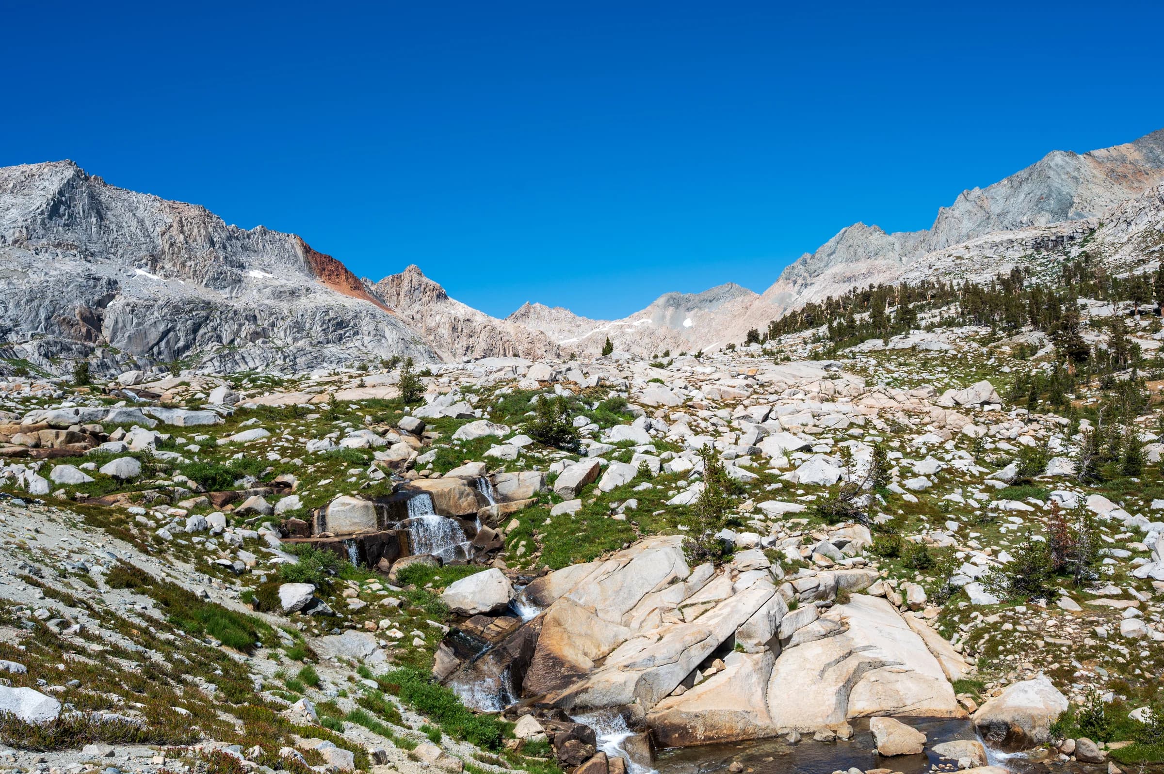
Big Arroyo at 9,600 feet was the coldest night of the trip, and it was made worse at some hour of the morning by a pack train crossing the campground. With bells.
Day 4: Big Arroyo to Kern Hot Spring
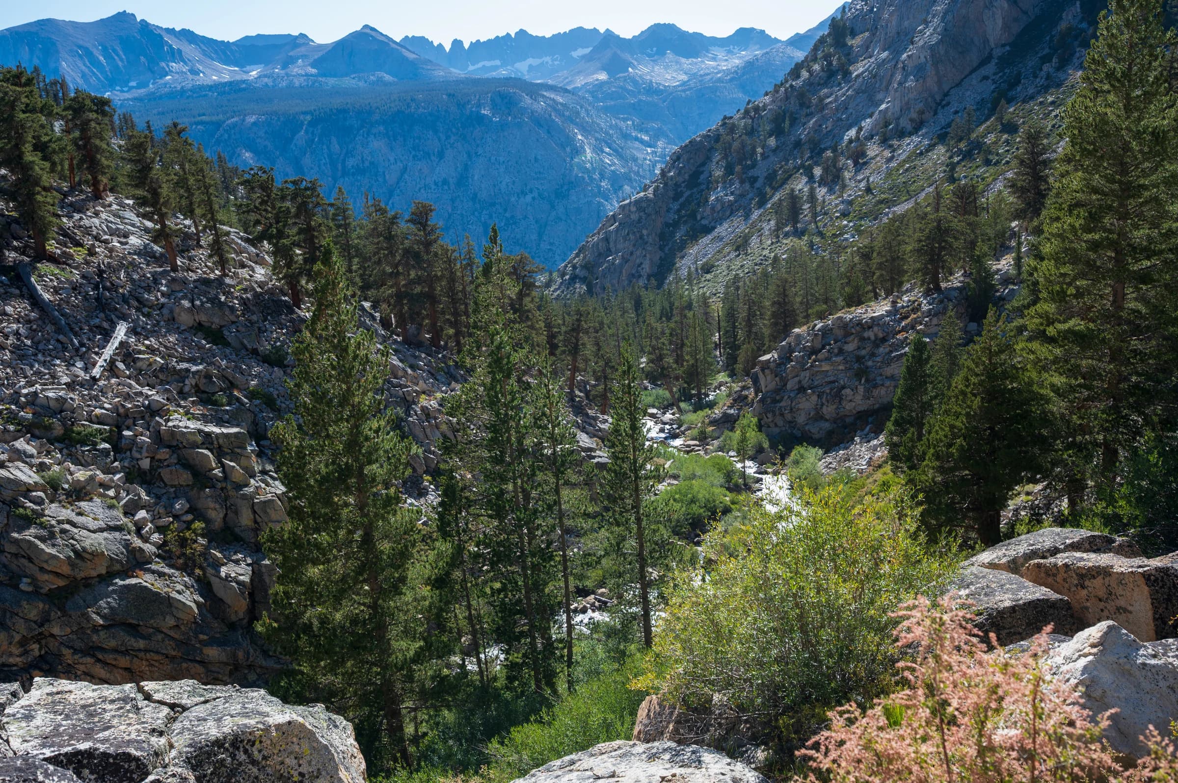
Seventeen miles, and the day I would do differently. It starts with a climb straight out of the arroyo, through willow and then bristlecone pines, and after a couple of miles you are abruptly in a huge meadow on the Chagoopa Plateau. It takes your breath away. Sky Parlor Meadow is in the middle of it.
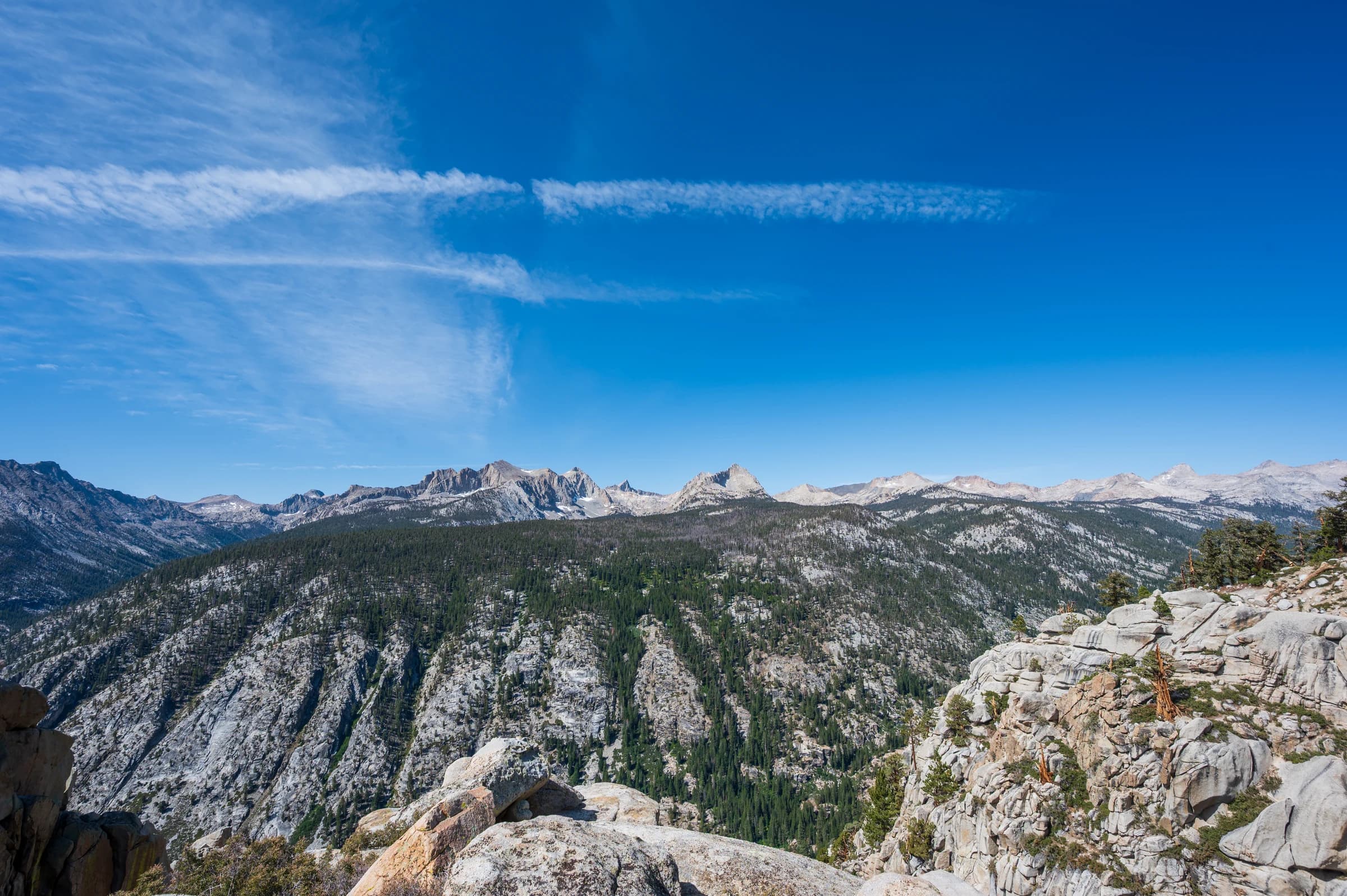
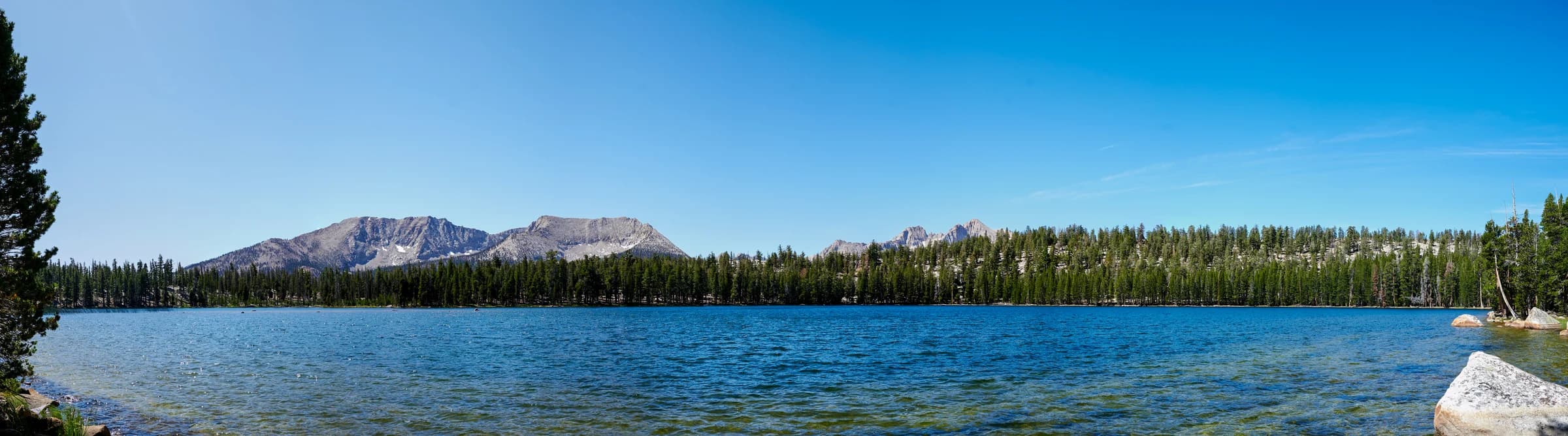
Moraine Lake is a short detour off the plateau and worth every step of it. A mile or so down the turnoff there is a vista point with a spectacular view of the Great Western Divide above the Five Lakes Basin, which you will miss if you do not take the turnoff.
Then the trail goes over the edge and loses three thousand feet in a couple of miles into the Kern, through fern fields, across Funston Creek more than once, and along a mile of talus that I remember mainly as noise and heat.
Somewhere in the ferns I was listening to Jeffrey Archer's Nothing Ventured on Bluetooth headphones, in one ear only, and I still missed a rattlesnake rattling. I got an earful for it, and that was the last the headphones saw the light of day. I lost another forty-five minutes near the end because AllTrails showed Kern Hot Spring on my side of the creek; it was on the other side, and I had to cross. The reward at the bottom is a cement tub of ninety-five-degree spring water at the edge of the Kern, which I sat in until it was dark.
Day 5: Kern Hot Spring to Wallace Creek
The Kern is one of the deepest canyons in the Sierra, and the trail runs straight up the floor of it, north, along the river. I left before sunrise and had the first few miles in that light, with the walls going gold above me. There were a few creek crossings along the way; some were dicey.
Junction Meadow at 8,000 feet is where it ends. From there the trail turns and climbs eight hundred feet in a mile, then keeps climbing east for two more alongside Wallace Creek and its waterfalls. It is an escalator at thirty degrees that does not move.
I arrived at Wallace Creek, at 10,390 feet, completely wiped out, with just enough time left to rest and recover for the next day. The High Sierra Trail meets the John Muir Trail at Wallace Creek, and the two run together over Guitar Lake to the summit. That is the next chapter, and the end of the trail.