I was indeed lucky the fourth time to complete this section of the John Muir Trail, but it came with a lot of twists and turns. I hiked it northbound, and this chapter describes it that way. It climbs from Horseshoe Meadow over Cottonwood Pass, drops through Rock Creek and over Guyot Pass to Crabtree Meadows, crosses Bighorn Plateau, and tops out at Forester Pass, the highest pass on the trail, before dropping to Vidette Meadow and leaving the JMT over Kearsarge Pass to Onion Valley. At Crabtree Meadows the JMT also turns east, past Guitar Lake, to the summit of Mount Whitney, the terminus of the trail and the highest peak in the contiguous United States, at 14,505 feet (you'll also see 14,494 feet in older sources; surveyors have re-measured it more than once).
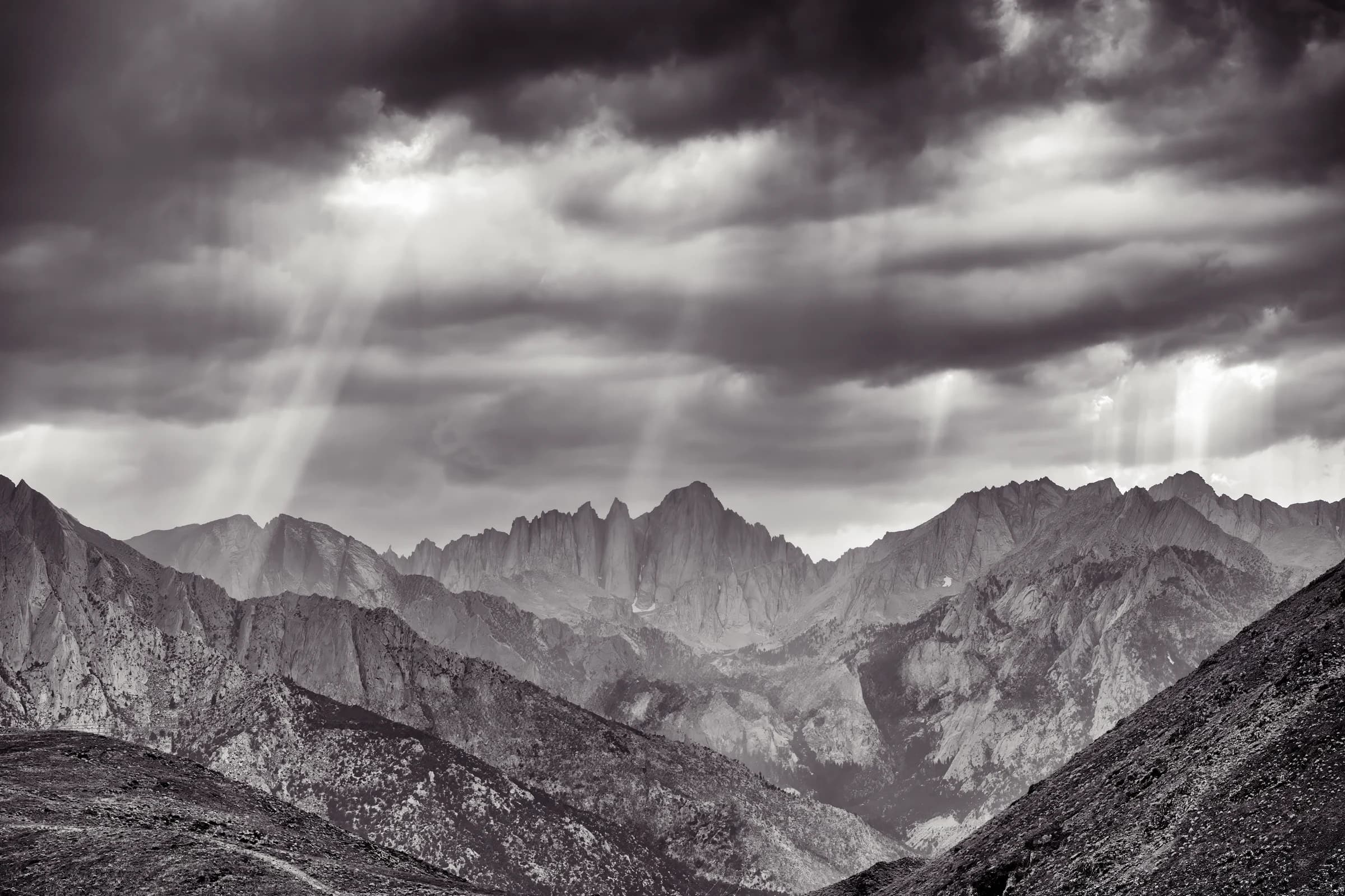
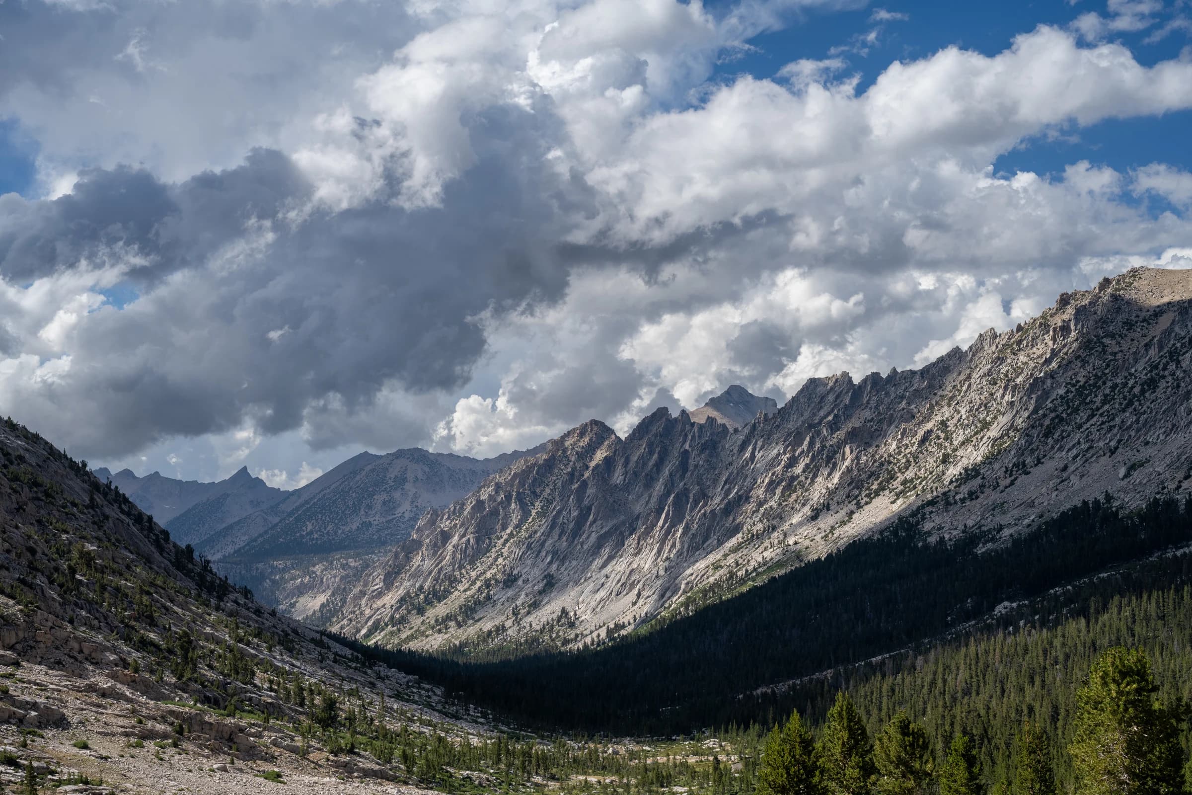
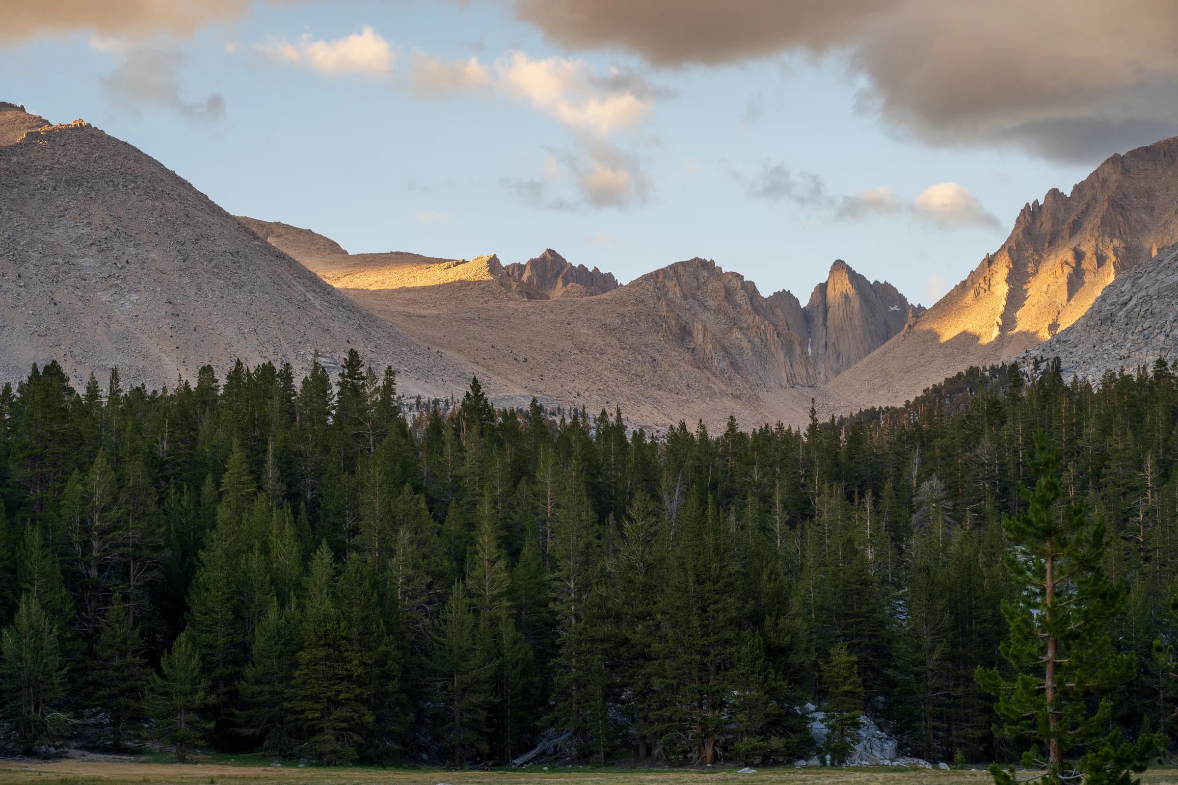
It took me four tries to get over Forester. In 2023 the snow was still deep on the pass into late July. A month later, Hurricane Hilary made landfall days before my permit and drove me off the mountain. In 2024 I went in from Kearsarge toward Cottonwood, and thunderstorms rolled in for the week; the ranger at Lone Pine told me to be below tree line before 11 a.m. every day, which meant getting over Forester Pass and down early. I had just finished Ethan Gallogly's The Trail, in which two hikers get caught in a snowstorm going over Forester, and it was fresh in my mind. I watched dark clouds build over Kearsarge Pass and sprinted the mile and a half down to Kearsarge Lakes; I had my Tarptent up and was dry inside within a minute. I changed my mind, took it easy, and went to Rae Lakes instead.
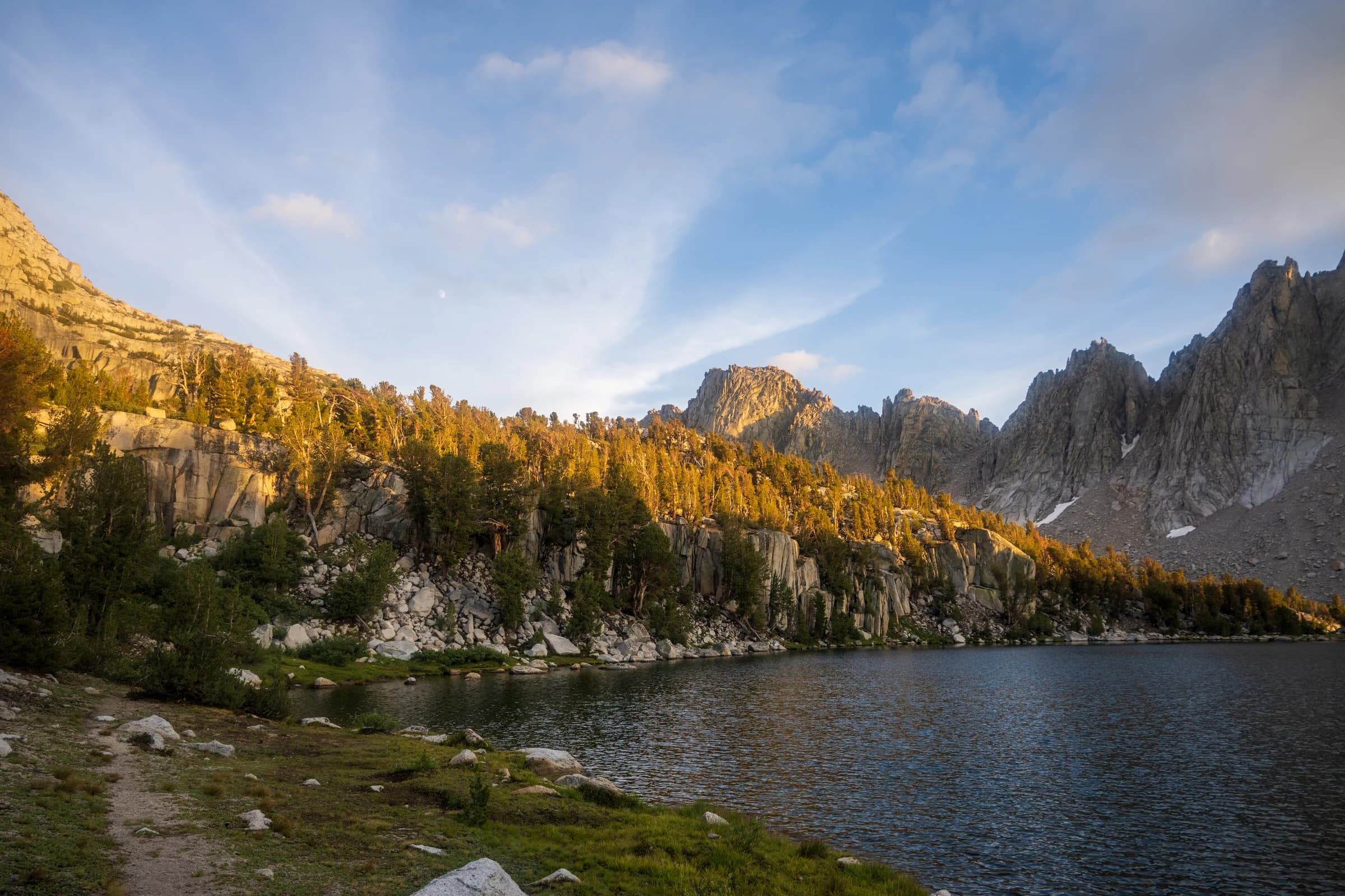
I went over Glen Pass to Middle Rae Lakes and found a camping spot right across from the Painted Lady. I stayed there two nights, the first time on any of my hikes that I stayed two nights at the same campsite, and took a day hike to the Sixty Lake Basin, a destination in itself worth exploring for many days. Big Pothole Lake is just west of Kearsarge Pass, on the way in.
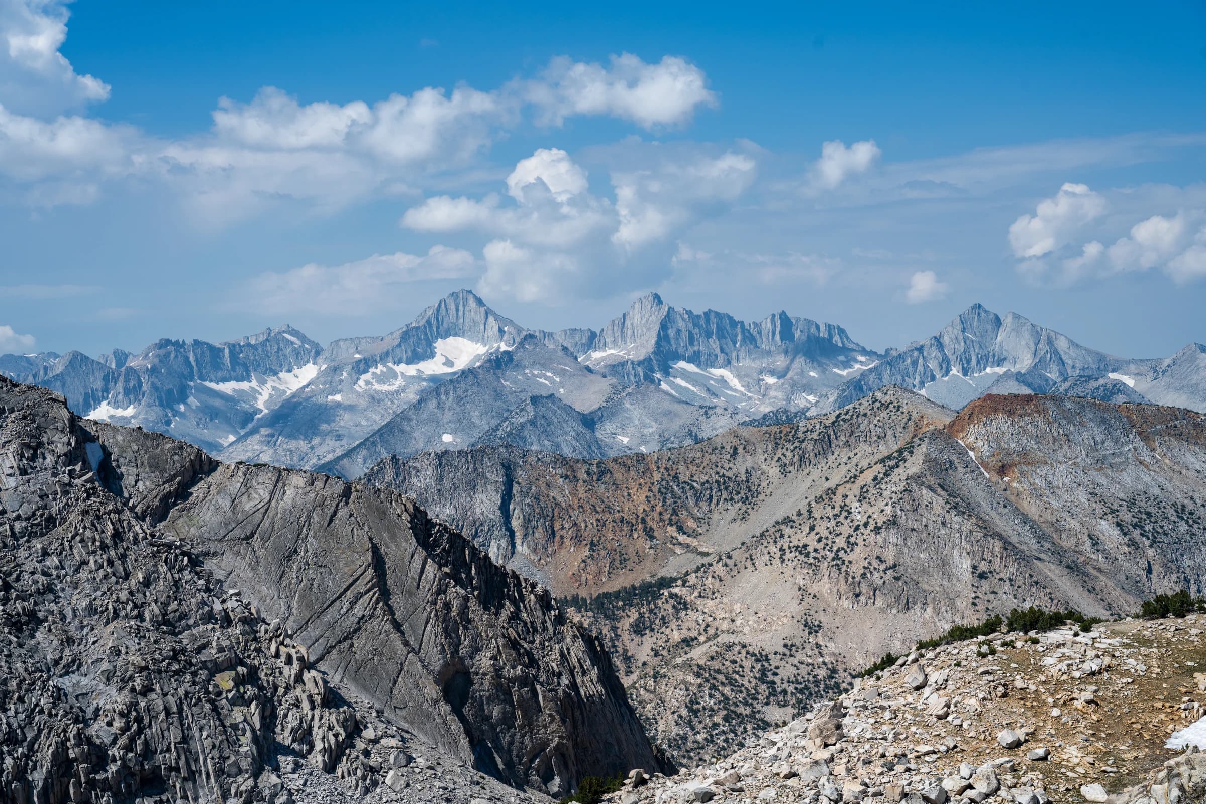
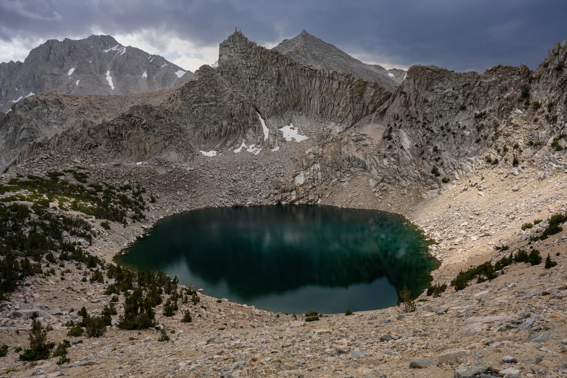
The trip that finally got me over Forester was in 2025, six days, with Rames. I staged it like a shuttle: drop a car at Onion Valley Campground the day before, drive back around, and camp that night at the Cottonwood Pass trailhead: $24 cash, self-registration envelope, nobody checking.
Day 1: Cottonwood Pass to Soldier Lake
The climb from Horseshoe Meadow over Cottonwood Pass past Chicken Spring Lake is easy at first, almost a warm-up, and then the trail turns to loose sand on the descent toward Soldier Lake, the kind of sand where every step forward slides half a step back.
Almost immediately on this trip I felt like I was hiking with a plastic bag over my face. I'd had COVID-19 a month earlier and thought I was over it. A visit to urgent care afterward showed it had left inflammation in my lungs, and I'd hiked the whole section with lungs working under capacity.
Day 2: Soldier Lake to Crabtree Meadows, over Guyot Pass
The trail drops along Rock Creek (plenty of water, an easy crossing), then it's a slow, grinding climb over Guyot Pass into Crabtree Meadows. A ranger back in Lone Pine had told me there was no water between Soldier Lake and Crabtree Meadows. That wasn't quite right: Rock Creek, which I had just crossed, runs right below Soldier Lake, and Guyot Creek can carry water early and mid season. I never got close to empty. The stretch to plan for is the one before it: between Chicken Spring Lake and Crabtree Meadows, the only reliable water is at Soldier Lakes and Rock Creek.
Day 3: Crabtree Meadows to Tyndall Creek
The plateau is named for the Sierra Nevada bighorn sheep that range this country, a population that was reintroduced starting in 1979, crashed to around a hundred animals by the mid-1990s, and has since recovered to more than six hundred.
There is no section I looked forward to more than Bighorn Plateau, and it lived up to it. The view of Mount Whitney from there is surreal; you don't quite realize you're staring at Whitney until you pick out Keeler Needle and Crooks Peak beside it. Getting up to the plateau is where my lungs caught up with me: over 1,000 feet of gain in a mile and a half, and I could barely move for a minute at a time. I turned it into interval training: climb for a minute, rest for forty-five seconds, repeat. I'm thankful to Rames, a friend of forty years, who shadowed me the whole way up; without him I would have turned around that day.

I set an interval timer and would climb for one minute, rest for 45 seconds and repeat. I was doing 90–100 minute miles.
Day 4: Tyndall Creek to Bubbs Creek, over Forester Pass
Forester Pass (the highest point on the Pacific Crest Trail, at 13,153 feet) is a game just to locate: you climb the rock face, and if you can find the trail, you're an expert. Mine went up almost dead center of the face. The view from the summit runs thirty or forty miles. Climbing the exposed south side, with its lingering snow patches, it's hard to believe the trail goes up there at all.
I saw the plaque for Donald Downs, an 18-year-old trail worker who died building the pass in 1930.
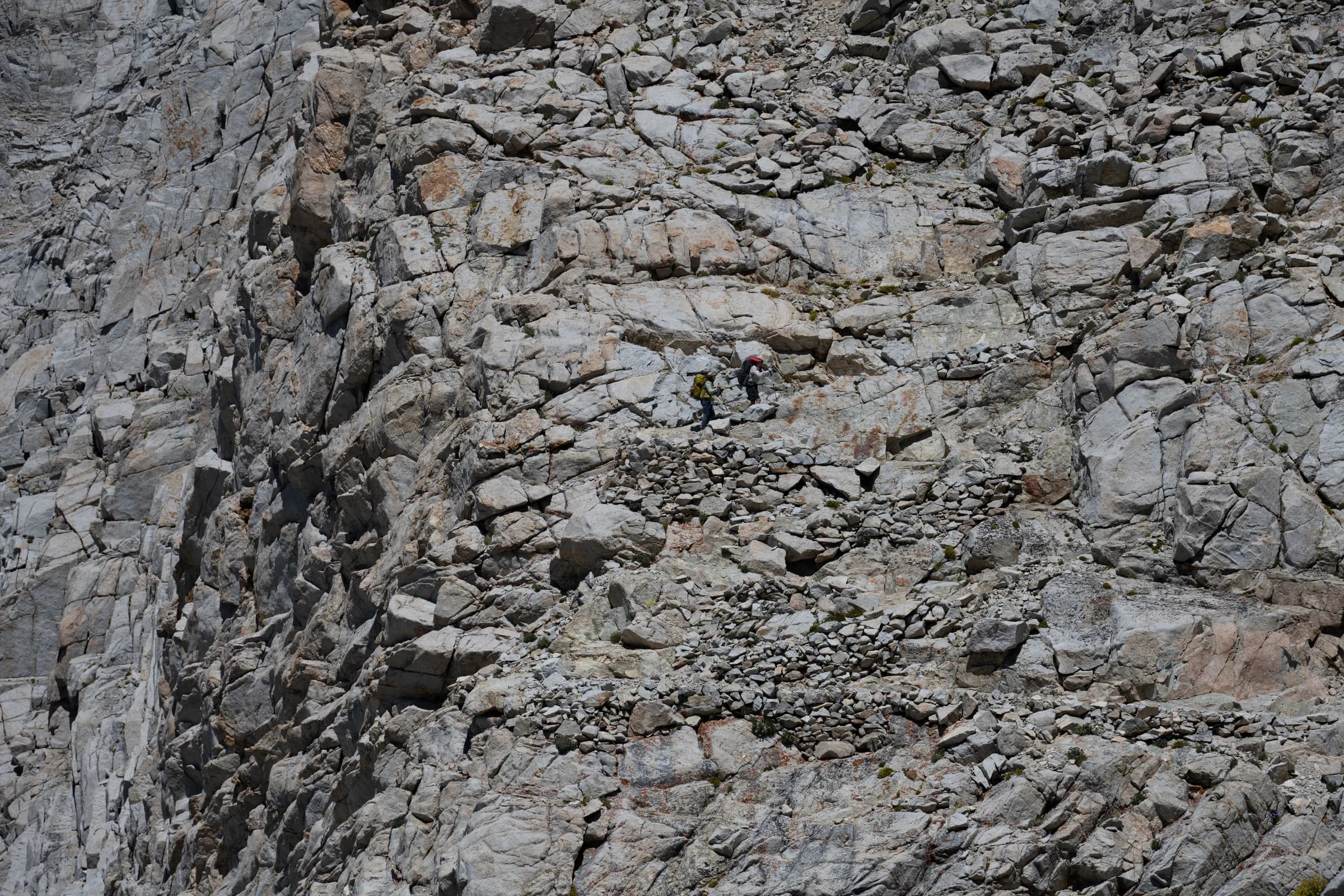
I camped that night near Bubbs Creek, past Upper Vidette Meadow, worn out but down off the pass.
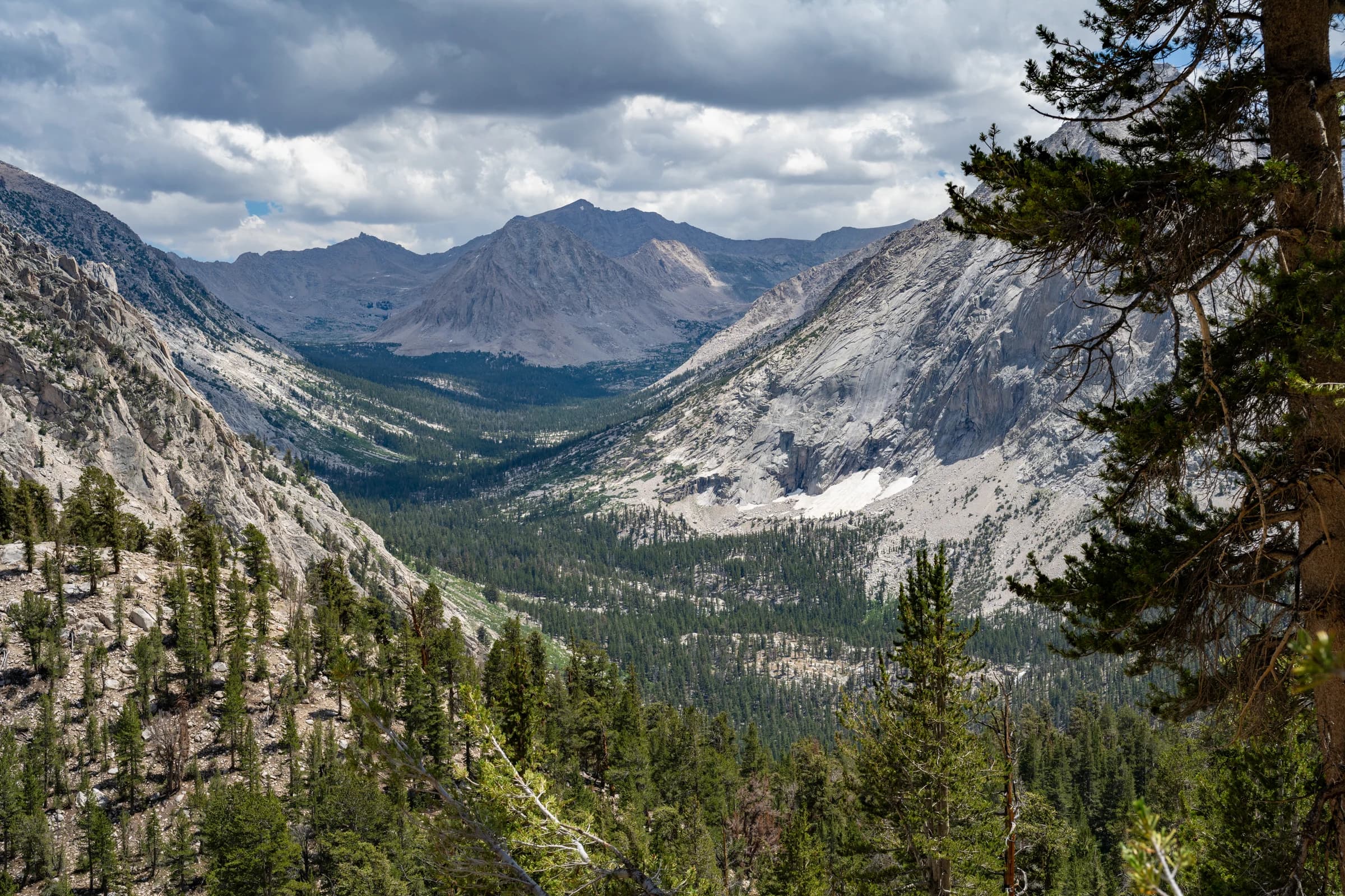
Day 5: Bubbs Creek to Kearsarge Lakes, past Bullfrog Lake
The trail climbed out of Vidette Meadow to the Bullfrog Lake junction, a nasty little surprise as bad as any pass you can imagine. Instead of pushing on toward Glen Pass I cut out toward Kearsarge Lakes to camp, the same lakes where, a year earlier, the thunderstorm chase had ended.
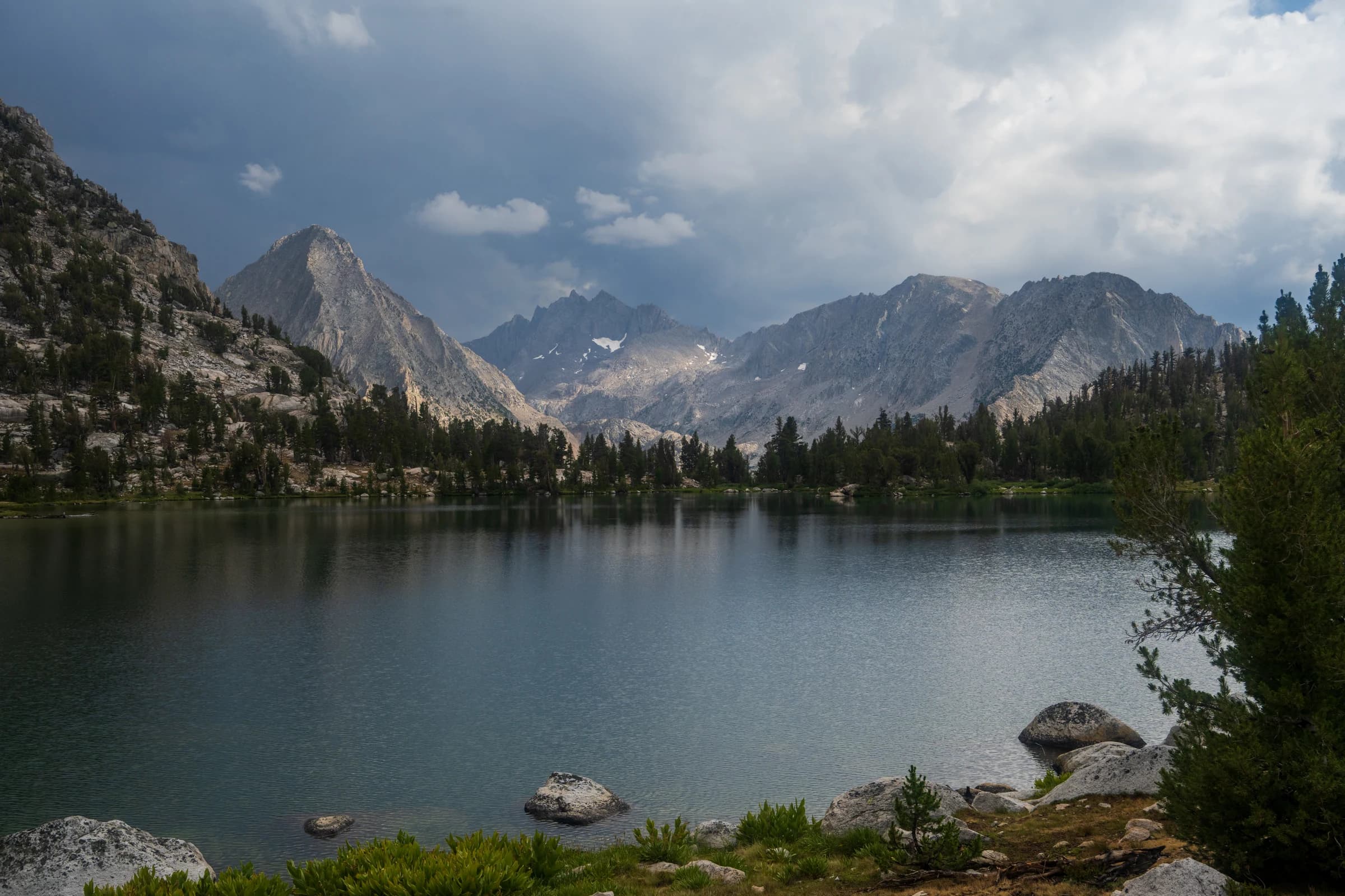
Day 6: Kearsarge Lakes to Onion Valley
On the last day I started early in the morning and saw a really cool fog over the valley. I summited Kearsarge Pass just before 8 a.m. I am starting to like exiting the trail through Kearsarge Pass; the climb is manageable, and so is the five-mile descent to Onion Valley. From there I had to drive back to Horseshoe Meadow to fetch the other car.
That got me over Forester at last. The trail still had one gap left in it, Rae Lakes to Le Conte Canyon, which would close a little later. The summit of Mount Whitney had come earlier, in 2019, on the last leg of the High Sierra Trail, the subject of the last two trail chapters.