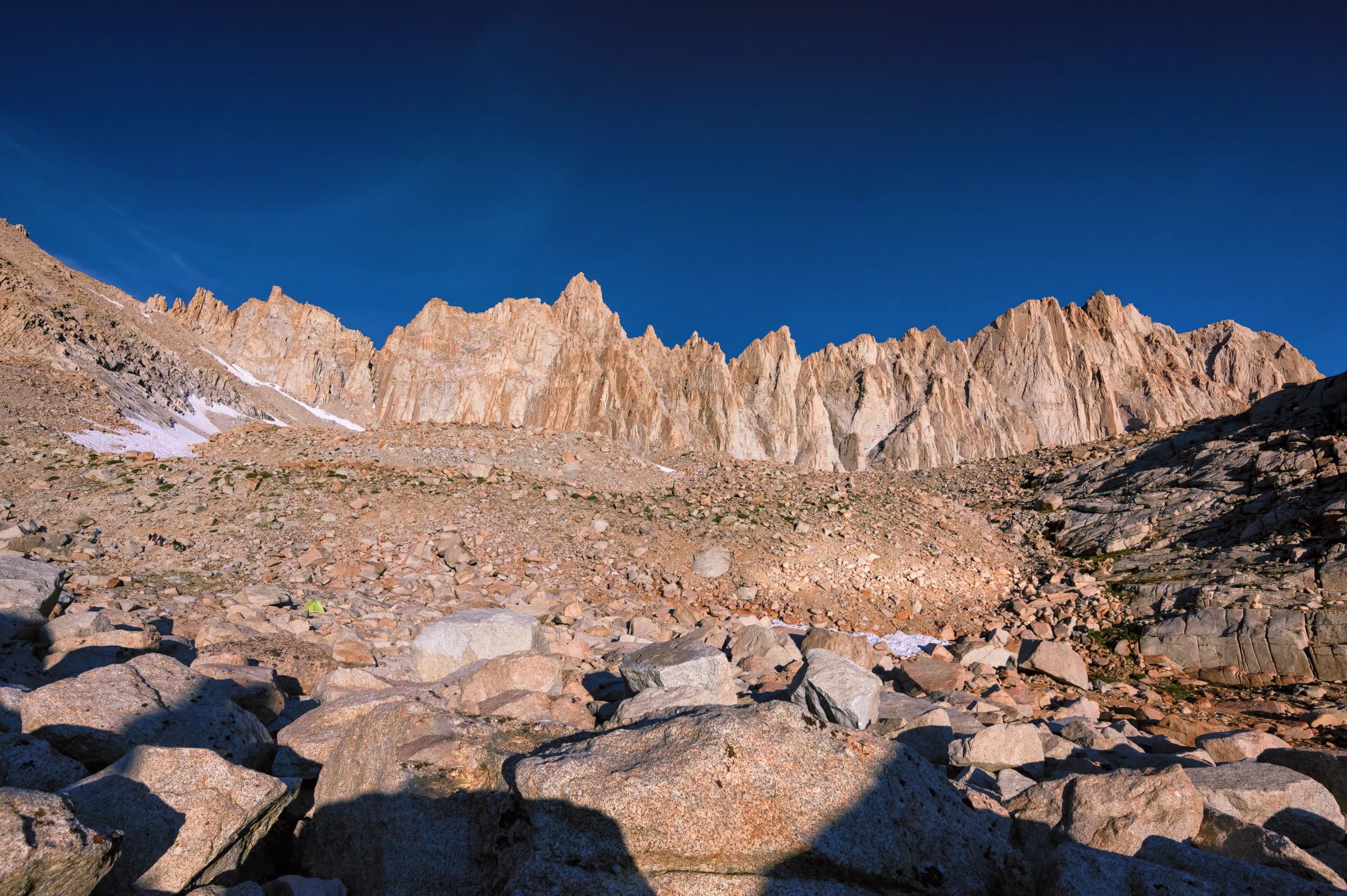
At Wallace Creek the High Sierra Trail joins the John Muir Trail, and the two run together past Crabtree Meadows and Guitar Lake to the summit of Mount Whitney, the end of the JMT and, at 14,505 feet, the highest point in the contiguous United States. I walked it in 2019, on the last leg of the High Sierra Trail.
Day 6: Wallace Creek to Guitar Lake
After the long days that came before, this was a light one: seven miles to Guitar Lake, a short day on purpose, to rest before the summit push. I started leisurely, around 9 a.m., a luxury after all the 5 a.m. wake-ups earlier in the trip, and passed a steady stream of John Muir Trail and Pacific Crest Trail hikers heading the other way.
There are plenty of meadows right off Wallace Creek. My AllTrails app insisted I had missed a fork and sent me backtracking half a mile before I realized it was wrong, one more reason I'd steer a hiker toward FarOut (then Guthook) over an AllTrails Pro subscription. I passed Crabtree Meadows without stopping at the ranger station, and there, for the first time, Mount Whitney came into view. I had lunch in one of the beautiful meadows, reached Timberline Lake, and climbed toward Guitar Lake, where Mount Whitney simply looms over you.
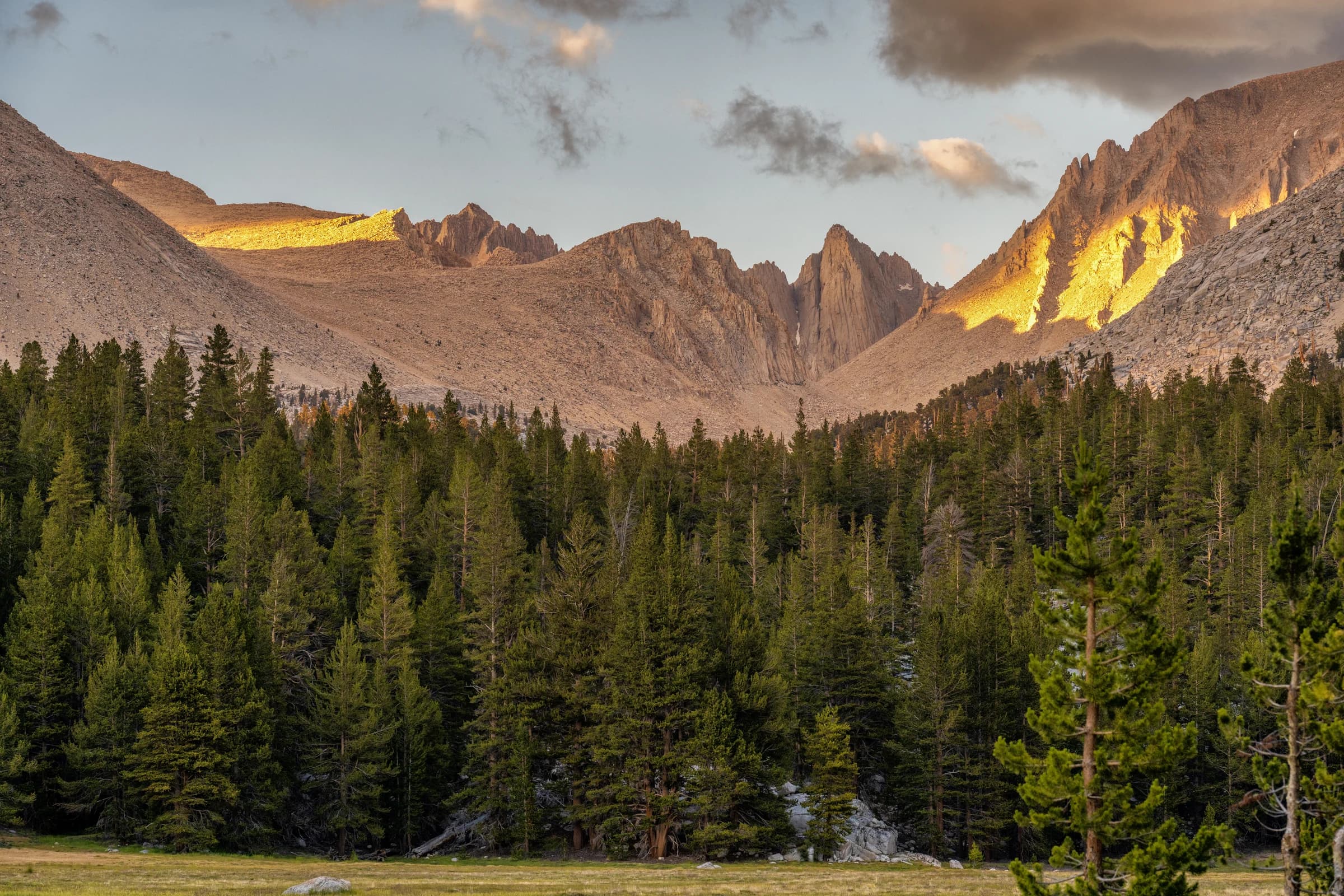
Camp at 11,500 feet is very exposed, but I got lucky with almost no wind. I set up early and tried to photograph the sunset with my Nikon Z6, but the autofocus fought me the whole time and left me with six hundred unusable frames. I turned in early and set an alarm for 4 a.m.
Day 7: Guitar Lake to the summit, and down to Trail Camp
I was up at 4 and moving before 6. About 300 feet above Guitar Lake the first light came up, alpenglow on Mt. Hitchcock and reflections in Guitar and Hitchcock Lakes below. It is about three miles and 2,000 feet of climbing to the junction with the Whitney Trail, near 13,500 feet, where you can drop your pack for the out-and-back to the summit. From there it is 1.9 miles to the top, a distance that feels like four or five. Near the summit I picked my way across a patch of ice.
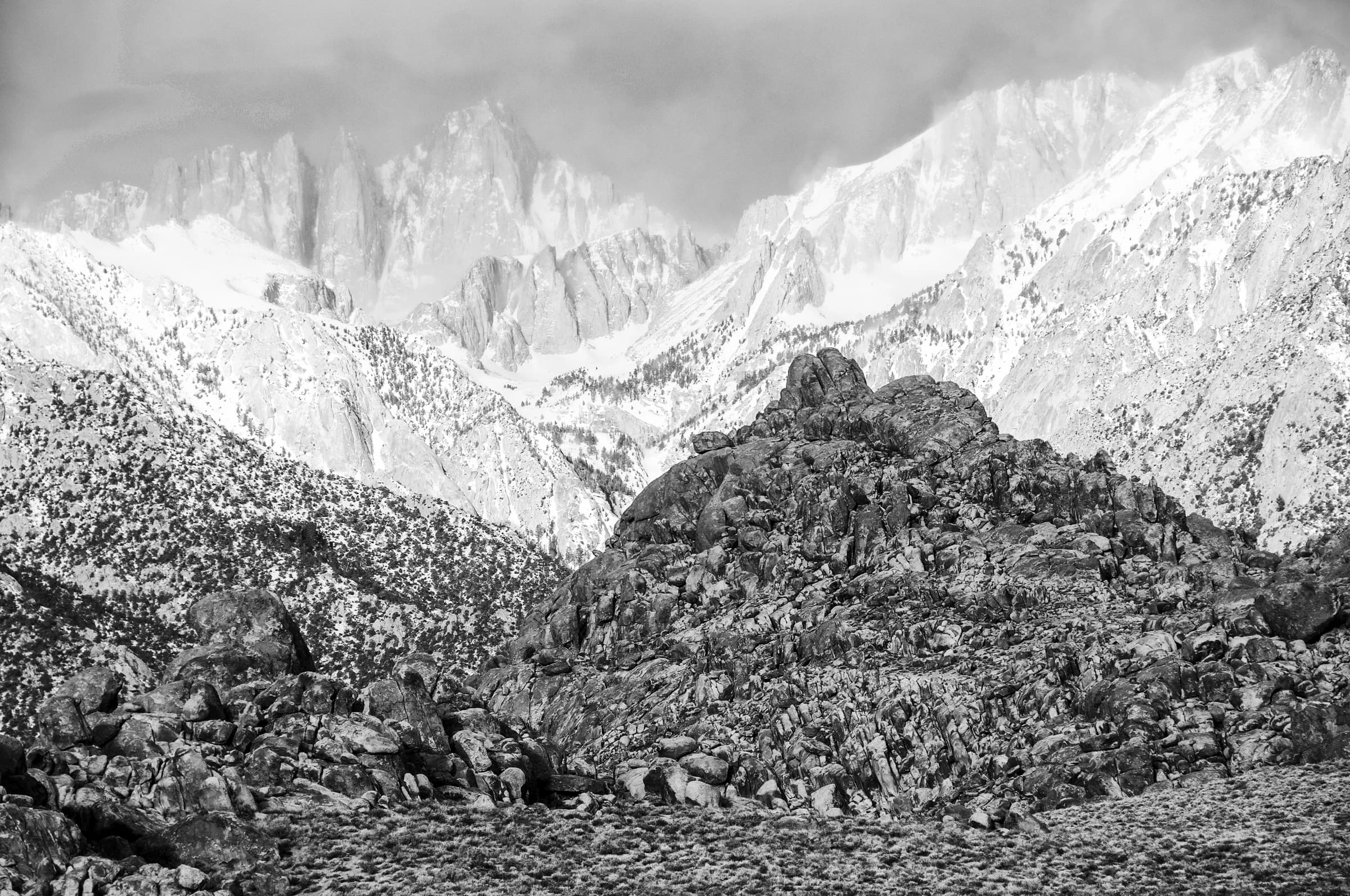
The stone summit hut sits right at the top. I signed the guest book; someone before me had written "National parks are America's best idea," and it was hard to argue standing there, looking down on Lone Pine and out to the White Mountains.
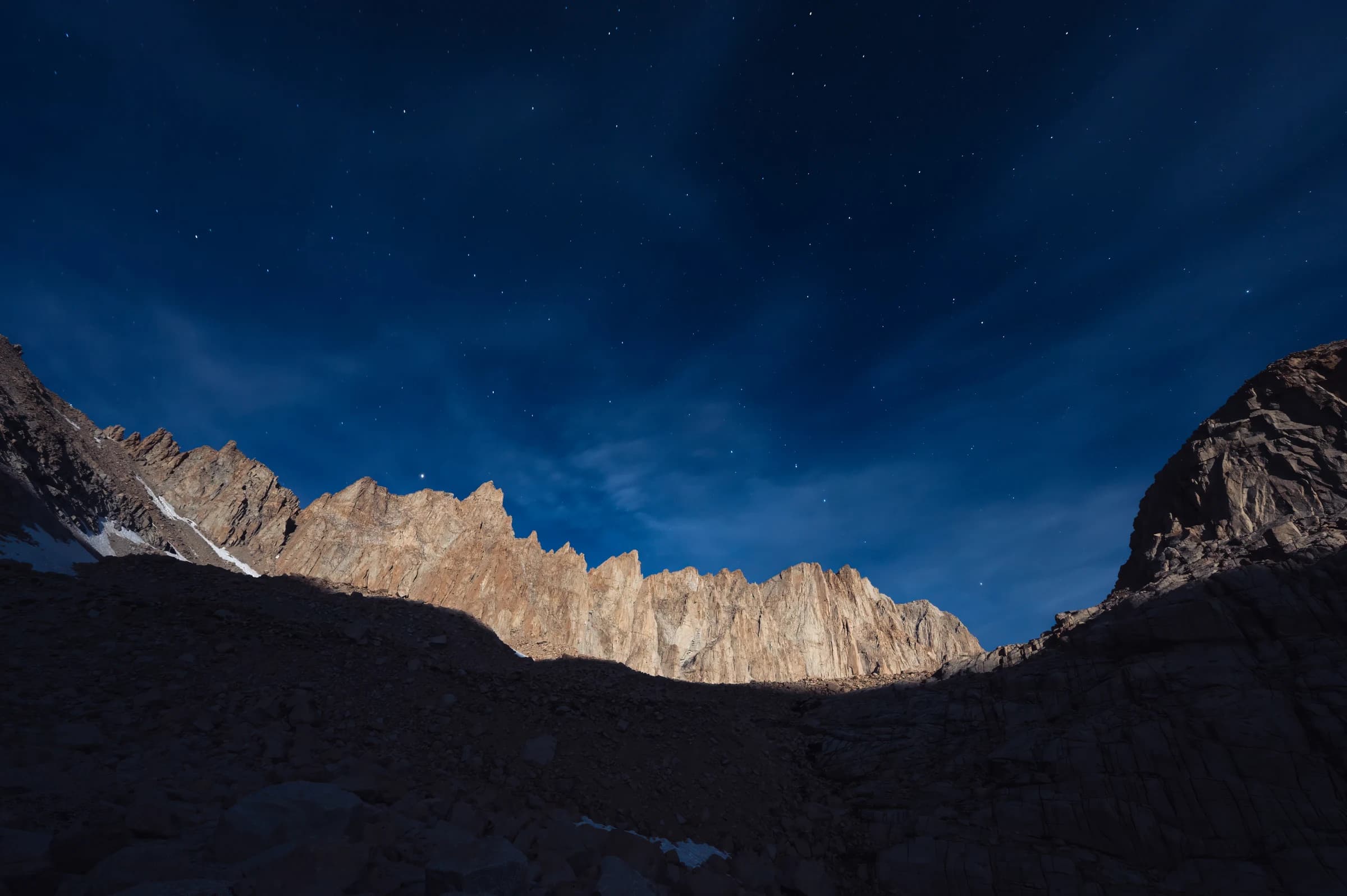
Then the descent. I picked up my pack at the junction and crossed Trail Crest, at about 13,600 feet the highest trail pass in the contiguous United States, higher even than Forester. From there it is the famous ninety-nine switchbacks down the east side, and a cabled section that never sees the sun and stays iced over all season. I reached Trail Camp at sunset, too tired to push on to Outpost Camp as I'd planned. That night the moon lit the whole Whitney range.
Day 8: Trail Camp to Whitney Portal
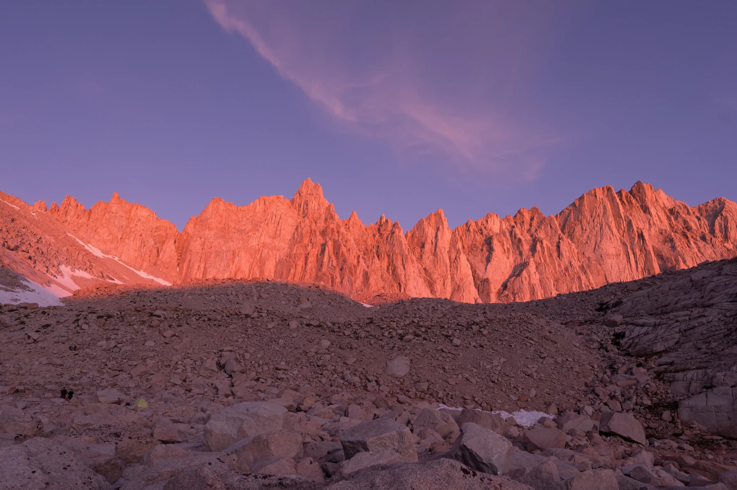
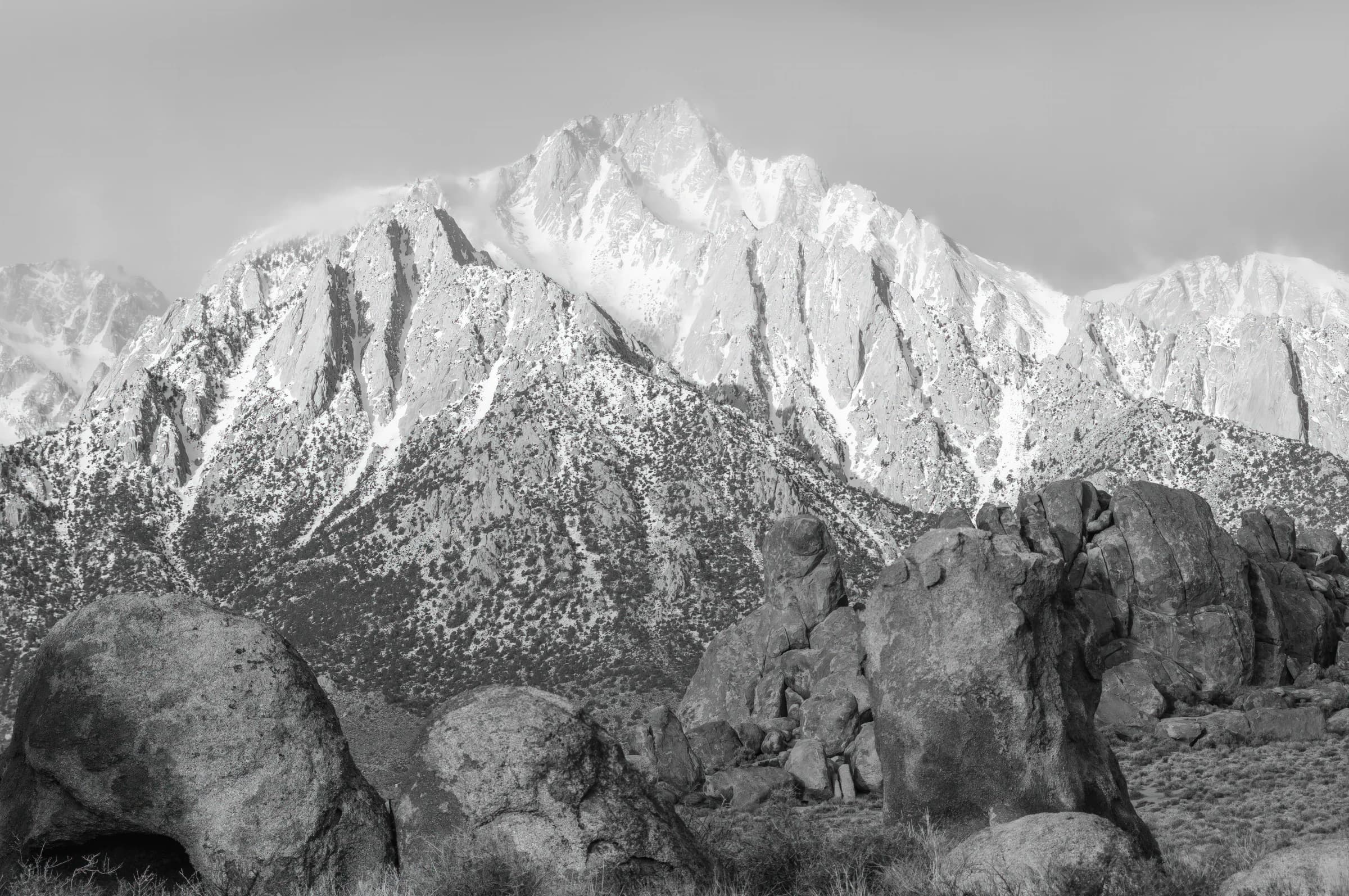
I chose each campsite by whatever advanced my chance of finishing the trail, except Trail Camp. My friend Durgi suggested it, to catch the sunrise on Mount Whitney. I was up at 6 a.m. for it. The summit caught first light, then the deep reds of alpenglow you only see in the Sierra, and finally the whole valley lit up. Galen Rowell used to say that visitors to his Mountain Light Gallery in Bishop refused to believe such colors were real. I could not resist taking a couple of self-portraits with Durgi. I tried multiple timelapses on the trip and all of them failed except one, of this sunrise.
Many people start hiking from Guitar Lake, summit Whitney and return to Whitney Portal on the same day. I don't know how they do it.
The way down runs past Consultation Lake, Mirror Lake, and Outpost Camp, through the meadows toward the portal. Looking back west, I could see the spires I had come down through. Mirror Lake is spectacular. Outpost Camp is green. At Whitney Portal I walked out through the arches and celebrated at the store, where I ate the largest pancakes I have eaten in my life. I finally met Doug Thompson, the owner of the store, and had a great chat with him.