Pleasanton, CA · September 2026
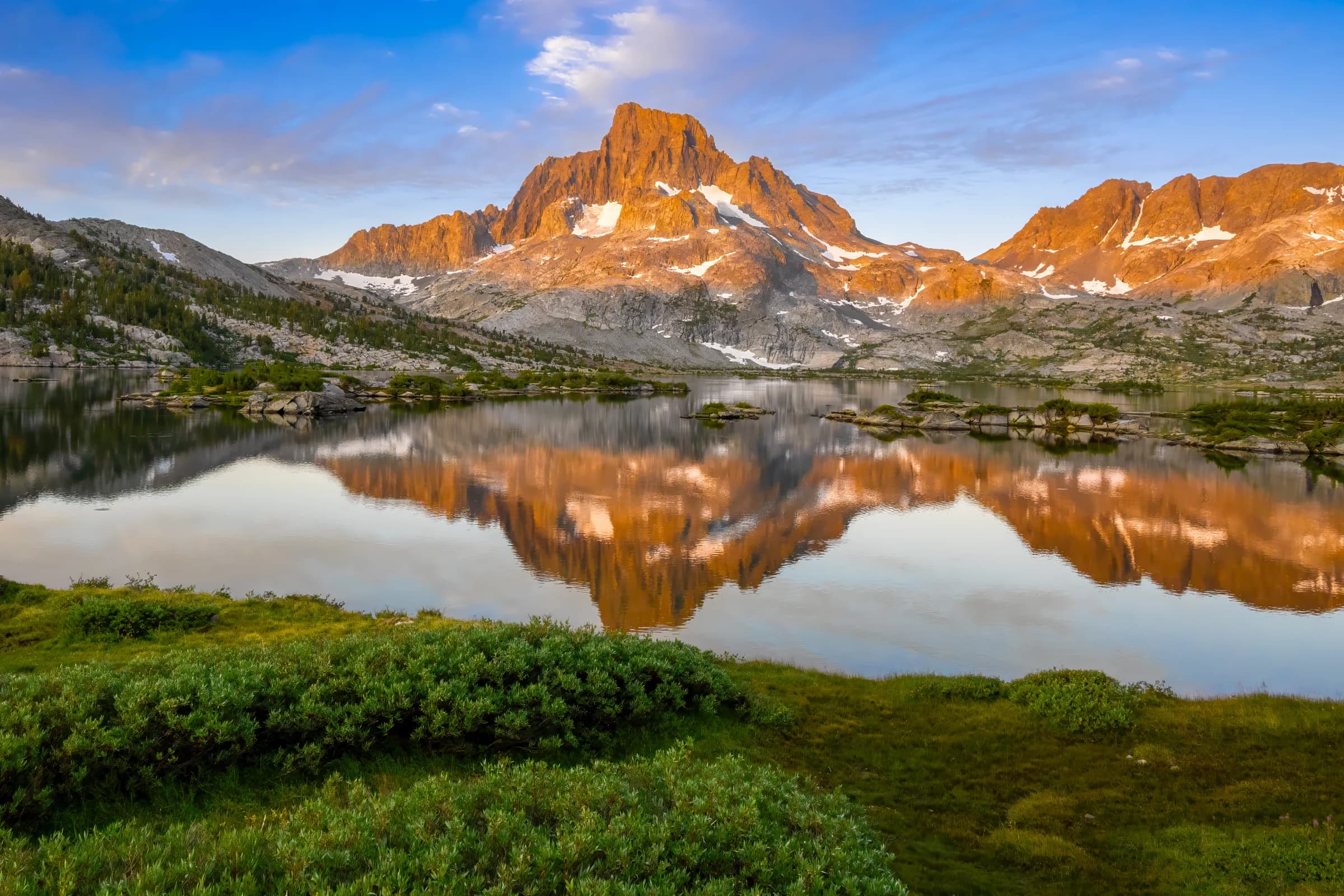
My John Muir Trail started in 2018, with a permit from Agnew Meadows and a walk up to Thousand Island Lake. Eight years later, I finally completed the whole trail. I never set out to thru-hike it. Instead I walked it in sections, one at a time, wherever I could get a permit. It is one of the hardest things I have done, physically and mentally.
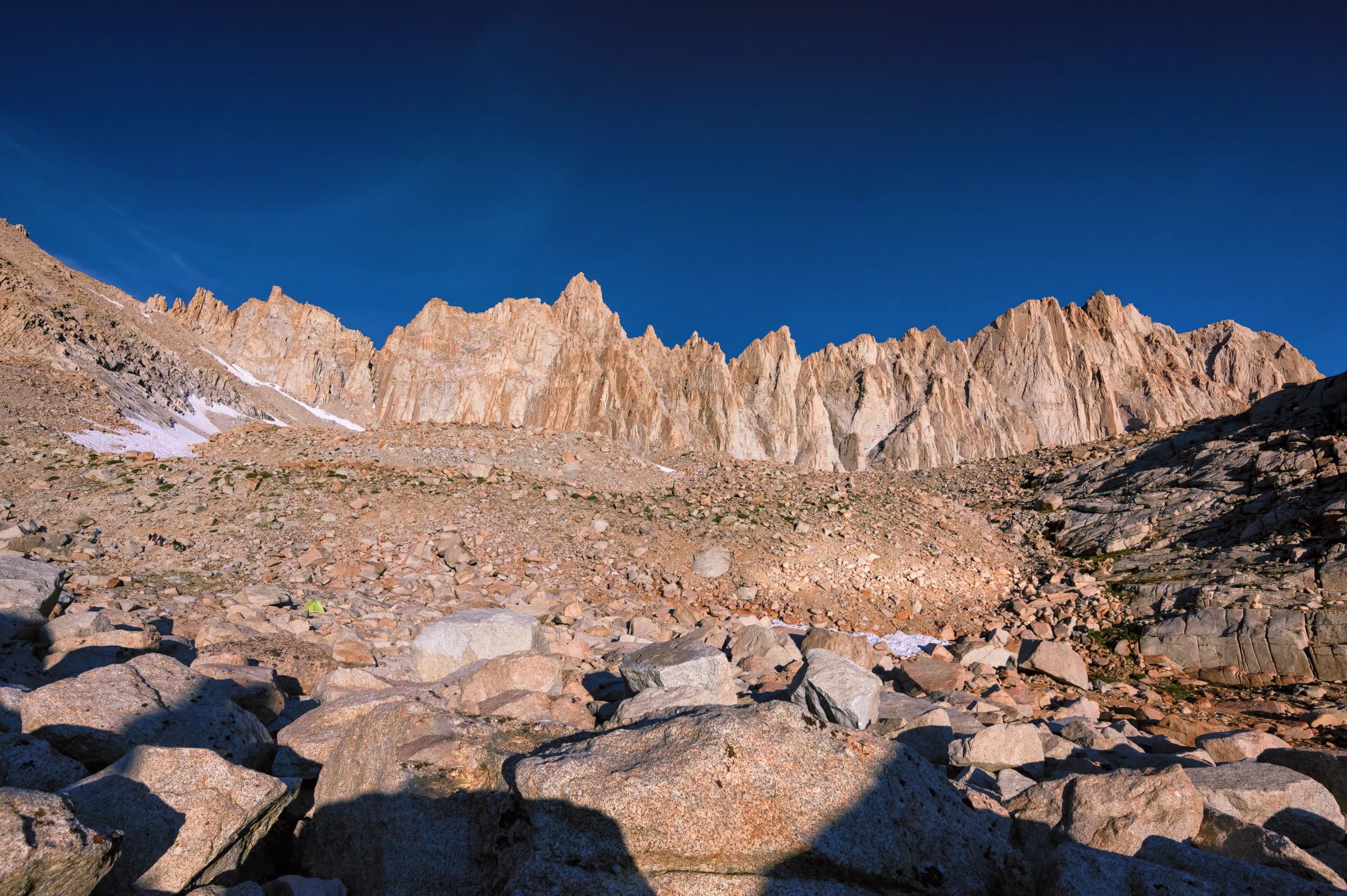
About twenty years ago, my friend Durgi introduced me to Galen Rowell's work. Galen was a climber with many first ascents in the Eastern Sierra, and a photographer par excellence. He mastered his Nikon and, just as importantly, understood light. He also wrote well, in books like High & Wild and Mountain Light. My first taste of the Eastern Sierra came through Galen, and I often wondered how I might witness the High Sierra the way he saw it. The John Muir Trail gave me that chance.
As the trail has gathered popularity, a permit has become very hard to get. The ideal is to hike southbound, starting from Yosemite: going south lets a hiker acclimatize to the altitude gradually and makes the final climb to Mount Whitney easier. But the number of permits to exit over Donohue Pass (the way out of Yosemite) is limited, and the southbound lottery is badly oversubscribed. With a large group, the odds are slim.
For hikers starting southbound, there are two Yosemite trailheads that come with a Donohue Pass exit, Happy Isles and Lyell Canyon. Both are hard to obtain. Because of this, some hikers start at Mount Whitney or Cottonwood Pass and head north instead. I let permit availability dictate my plans. Every January and February I would be at the computer for a July hike. Yosemite runs a weekly lottery 24 weeks ahead, and the Inyo National Forest trailheads open six months ahead and go fast. I hiked some sections northbound, some southbound, and some as part of other thru-hikes.
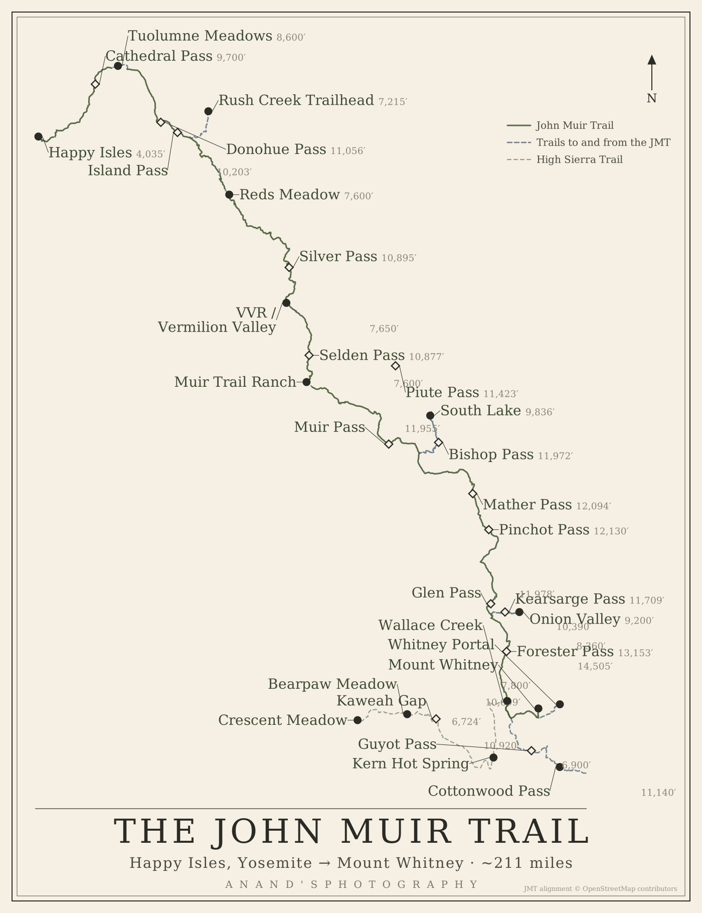
The chapters that follow are in trail order, north to south. Each section came from a different trip, from whichever trailhead I could draw a permit for. The trips, by year:
- 2018: Agnew Meadows to Thousand Island Lake, in the Ansel Adams Wilderness (Northbound)
- 2019: Wallace Creek to Mount Whitney, as part of the High Sierra Trail, which runs west to east from Crescent Meadow in Sequoia National Park to the summit of Mount Whitney (Southbound)
- 2020: Echo Valley to Cathedral Lakes, on the High Sierra Camp loop (Southbound)
- 2021: Rush Creek to South Lake (Southbound)
- 2022: Rush Creek to Happy Isles (Northbound)
- 2023: Cottonwood Pass toward Onion Valley, twice: snowed off Forester, then Hurricane Hilary (Northbound, both aborted)
- 2024: Onion Valley to Rae Lakes, and back (Northbound)
- 2025: Cottonwood Pass to Onion Valley (Northbound)
- 2026: South Lake to Onion Valley, the last section (Southbound)
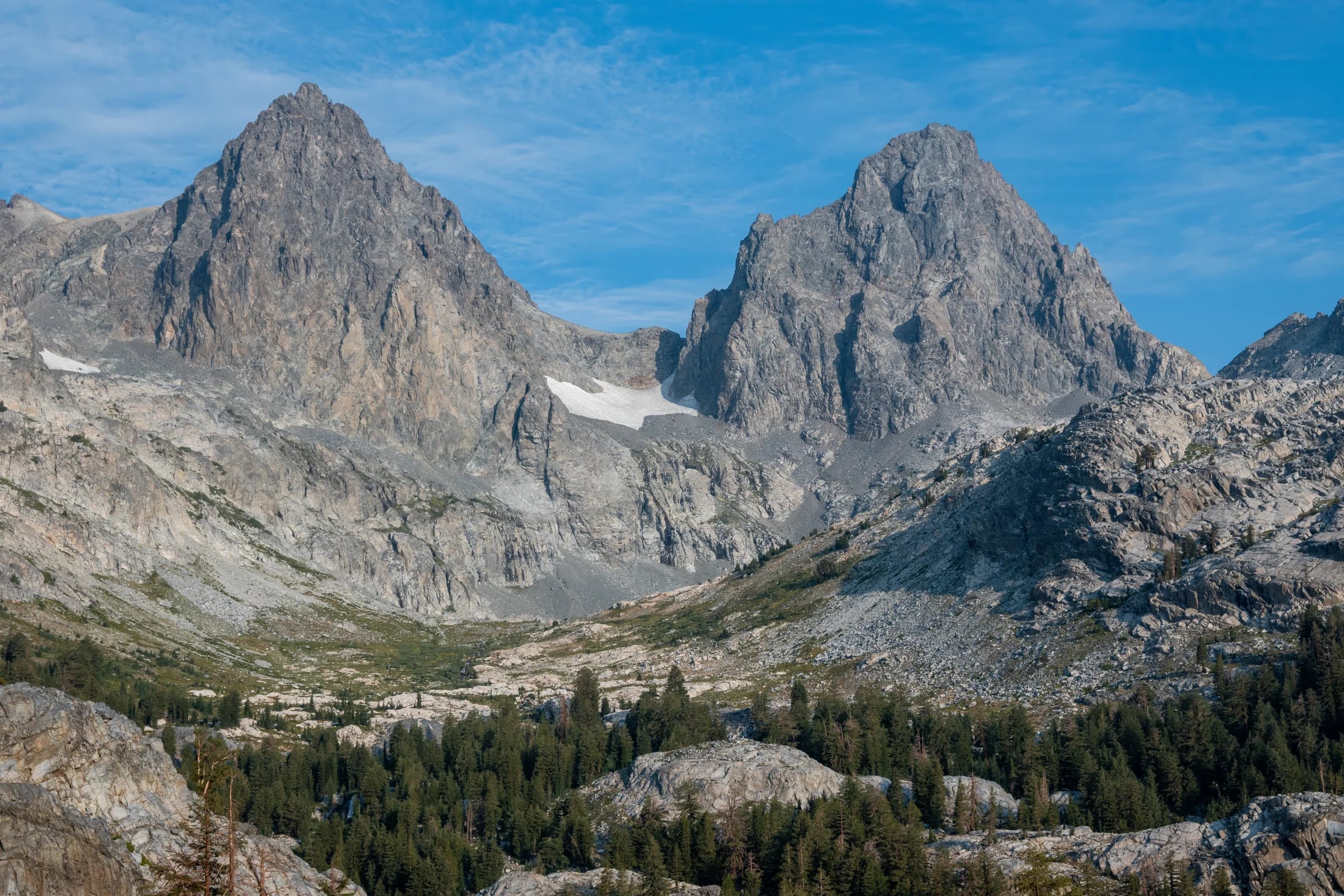
The southern end took the longest. In 2023 I was snowed off Forester, and then turned back the night before Hurricane Hilary. In 2024 rain sent us to Rae Lakes instead. I finally walked from Cottonwood Pass over Forester to Onion Valley in 2025, and walked the last section, South Lake to Onion Valley, in 2026.