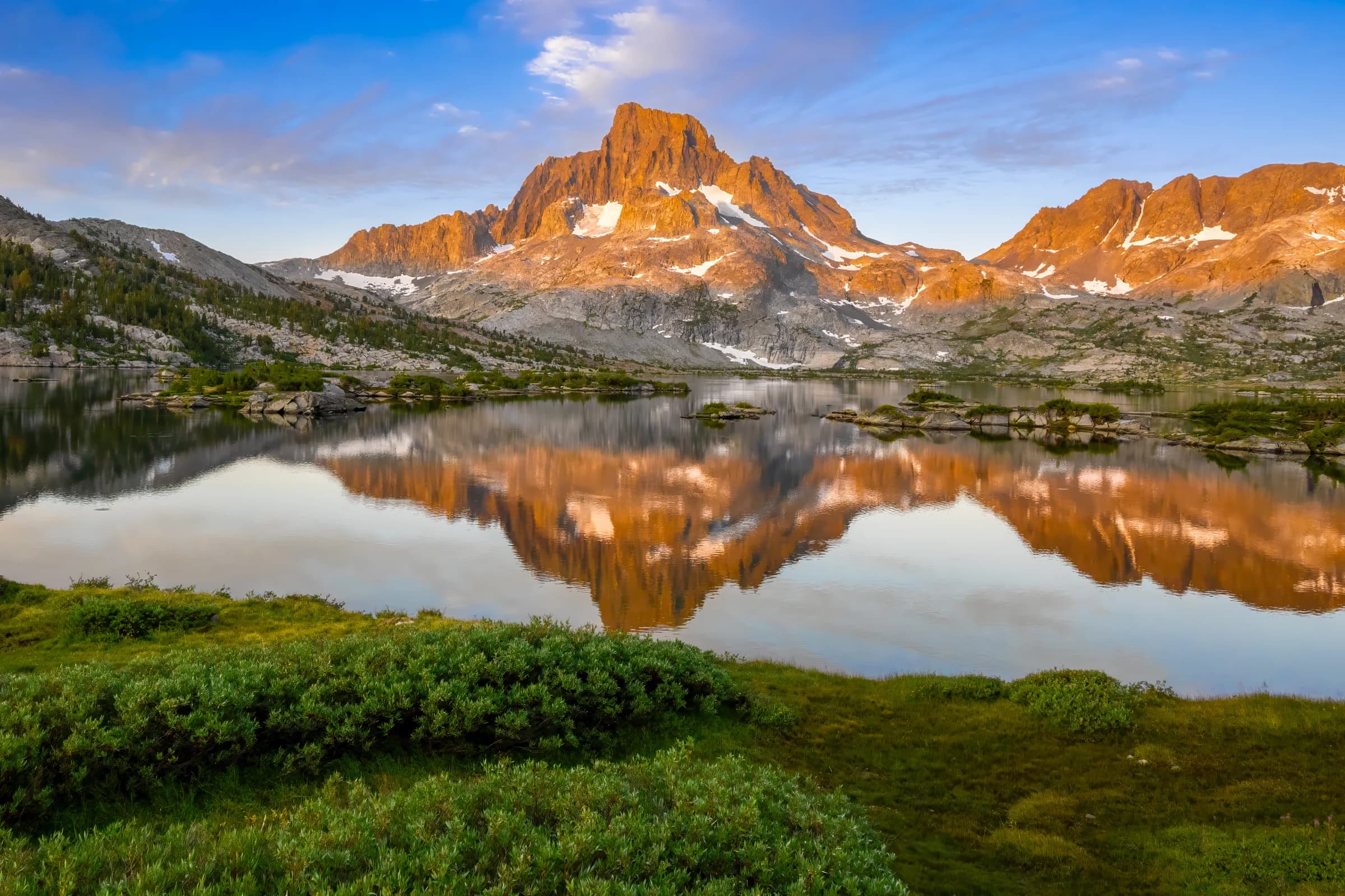
Thousand Island Lake Sunrise

Chapter 2

Tuolumne to Reds Meadow

Route
Tuolumne Meadows → Reds Meadow
Distance
38 mi
Elevation gain
6,000 ft

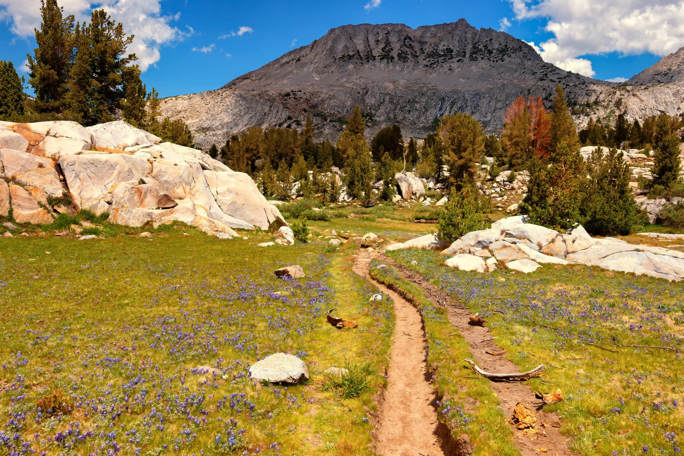
Leaving Tuolumne, the trail climbs to Donohue Pass and crosses out of Yosemite into the Ansel Adams Wilderness — 230,000 acres of the most beautiful country in the Sierra Nevada, nestled between Yosemite and the John Muir Wilderness. It was originally named the Minarets Wilderness, which, in my opinion, is the more apt name.

This is Thousand Island Lake country, and it is the heart of the section. The first time I stood at Thousand Island Lake at sunset, it was among the best sunsets I have ever seen — Banner Peak and Mount Ritter catching the last light over a lake scattered with islands. I have hiked through this wilderness several times, and it never loses that effect. Just off the trail lie Garnet Lake and, by a short detour up Shadow Creek, Ediza and Iceberg Lakes beneath the Minarets — some of the finest side trips on the whole route.

From the Thousand Island basin the trail works south past Shadow and Rosalie Lakes and drops steadily toward Reds Meadow, near Devils Postpile and the first easy resupply since Tuolumne, a short shuttle from Mammoth Lakes.
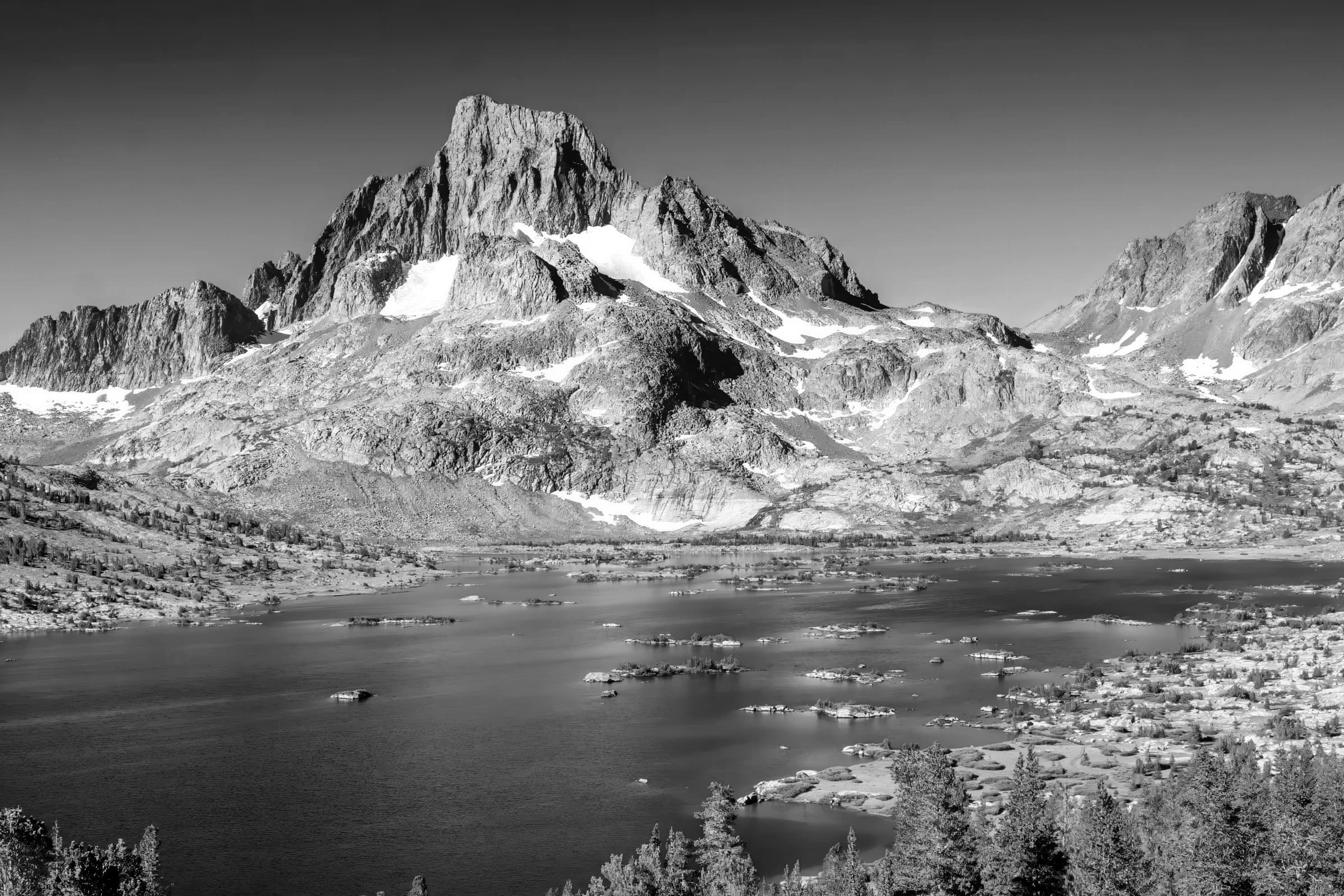
Banner Peak and Thousand Island Lakes
From the John Muir Trail, Banner Peak towers over Thousand Island Lakes.
Order a print →
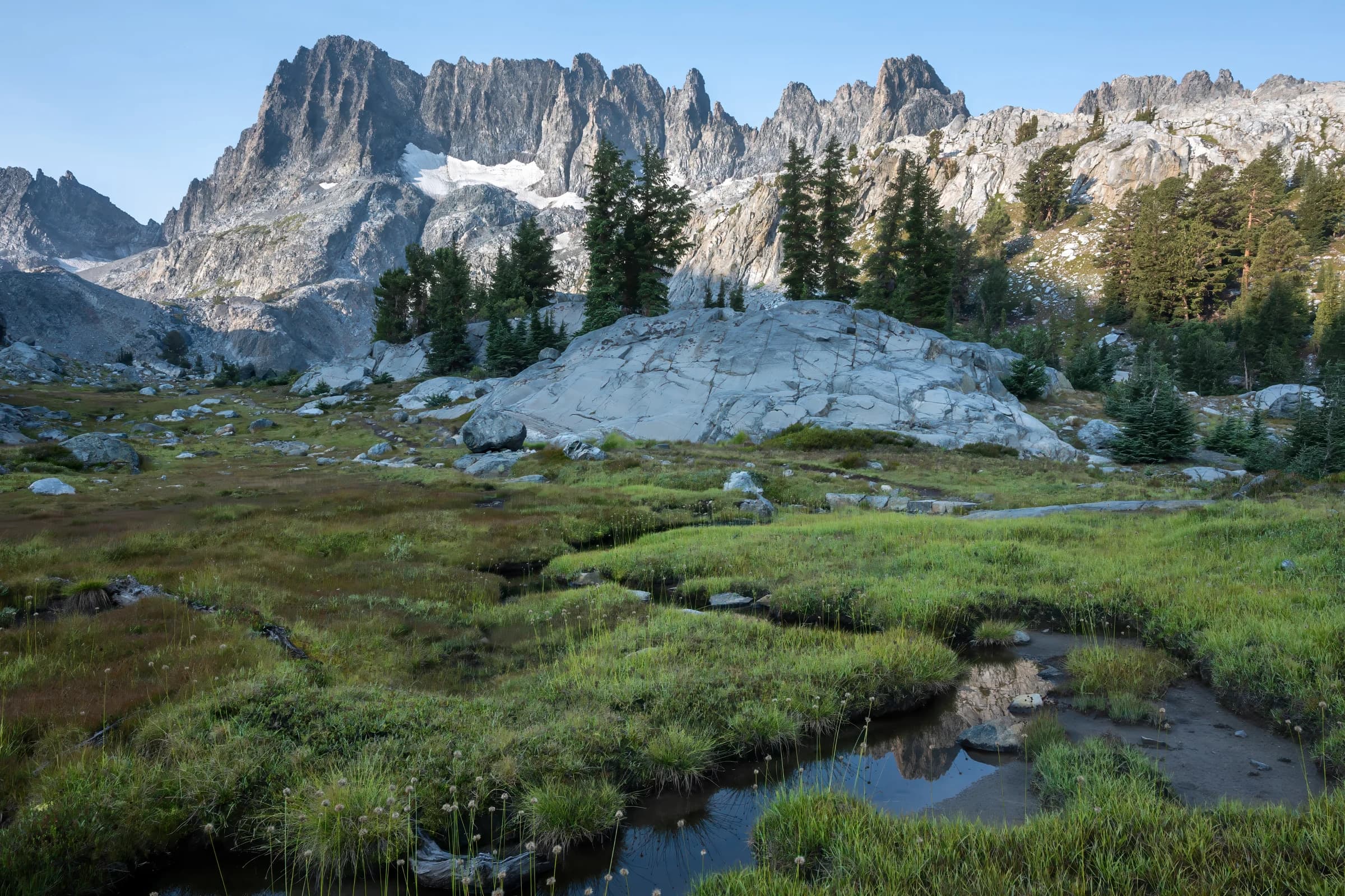
Minarets and Meadow
Minarets and Meadow
The Minarets are a series of jagged peaks located in the Ritter Range, a sub-range of the Sierra Nevada in the state of California. In this photograph, the minarets are seen up close with a meadow in the foreground.
Order a print →
View from Glen pass
View from Glen pass
At 11,957 feet, Glen pass is a fairly challenging pass in the JMT. This photograph shows the view looking South from the summit. Mt. Clarance-King, among other peaks is seen here.
Order a print →
Garnet Lake
Garnet Lake
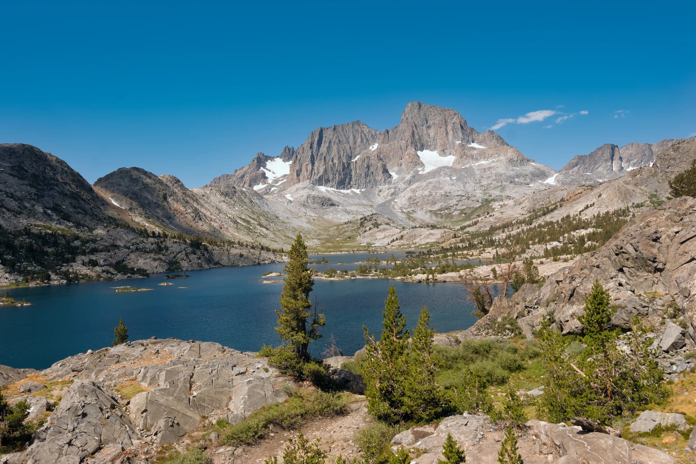
Garnet lake in the Ansel Adams Wilderness is one of the beautiful spots along the JMT. From this lake, Banner Peak and Mt. Ritter are seen.
Order a print →
Rae lakes
Rae lakes
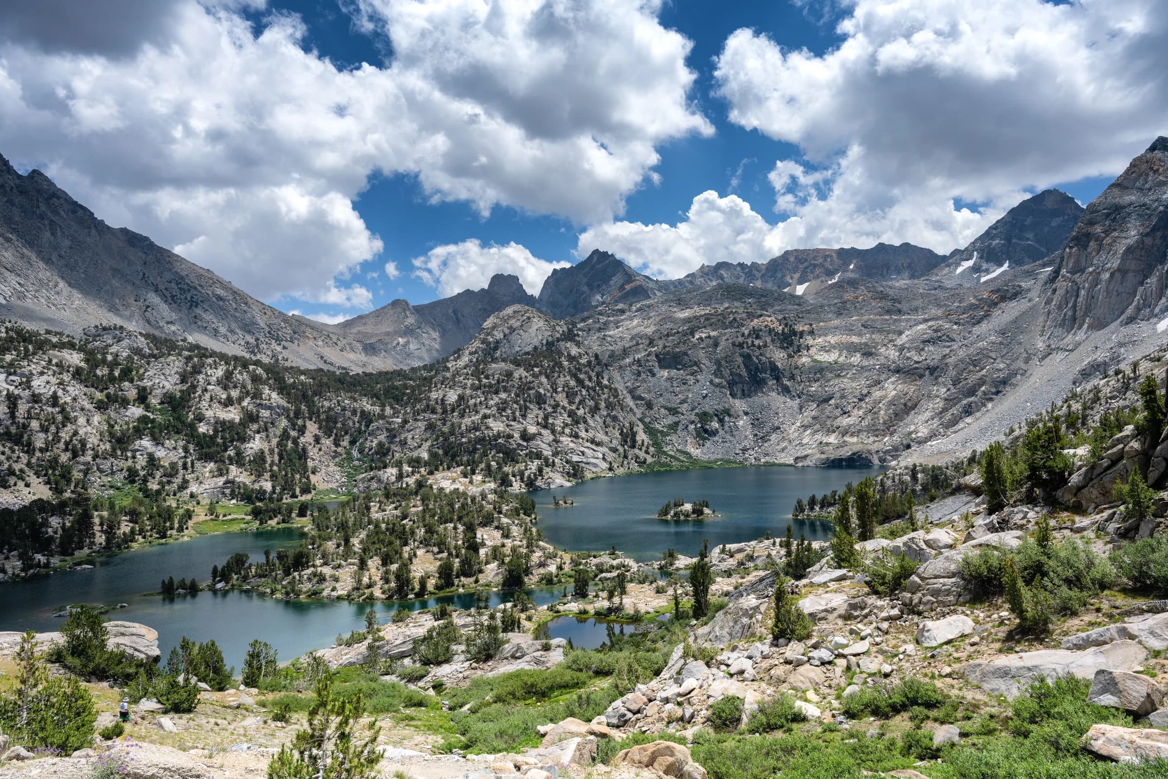
Rae Lakes is a series of lakes in the Sierra Nevada, located in Kings Canyon National Park, eastern Fresno County, California. The lakes are located on the John Muir Trail at the base of Black Mountain. This photograph is taken from the sixty lake basin trail which looks down upon Rae lakes and its surrounding peaks.
Order a print →
View from Glen Pass looking North
Standing at 11,957 feet, Glen Pass is a tough pass along the John Muir Trail. From the pass, looking towards North, this is the view of Mt. Clarance King and other peaks in the area.
Order a print →
Approaching donahue pass
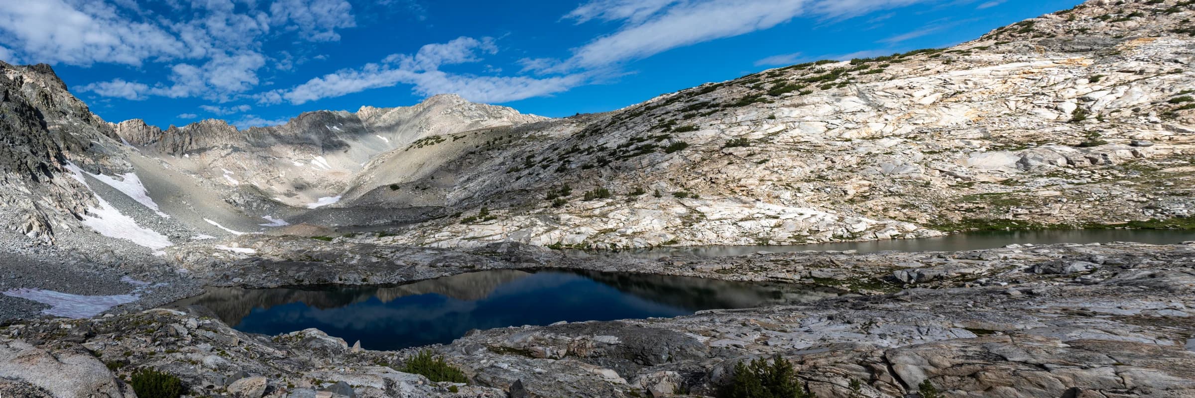
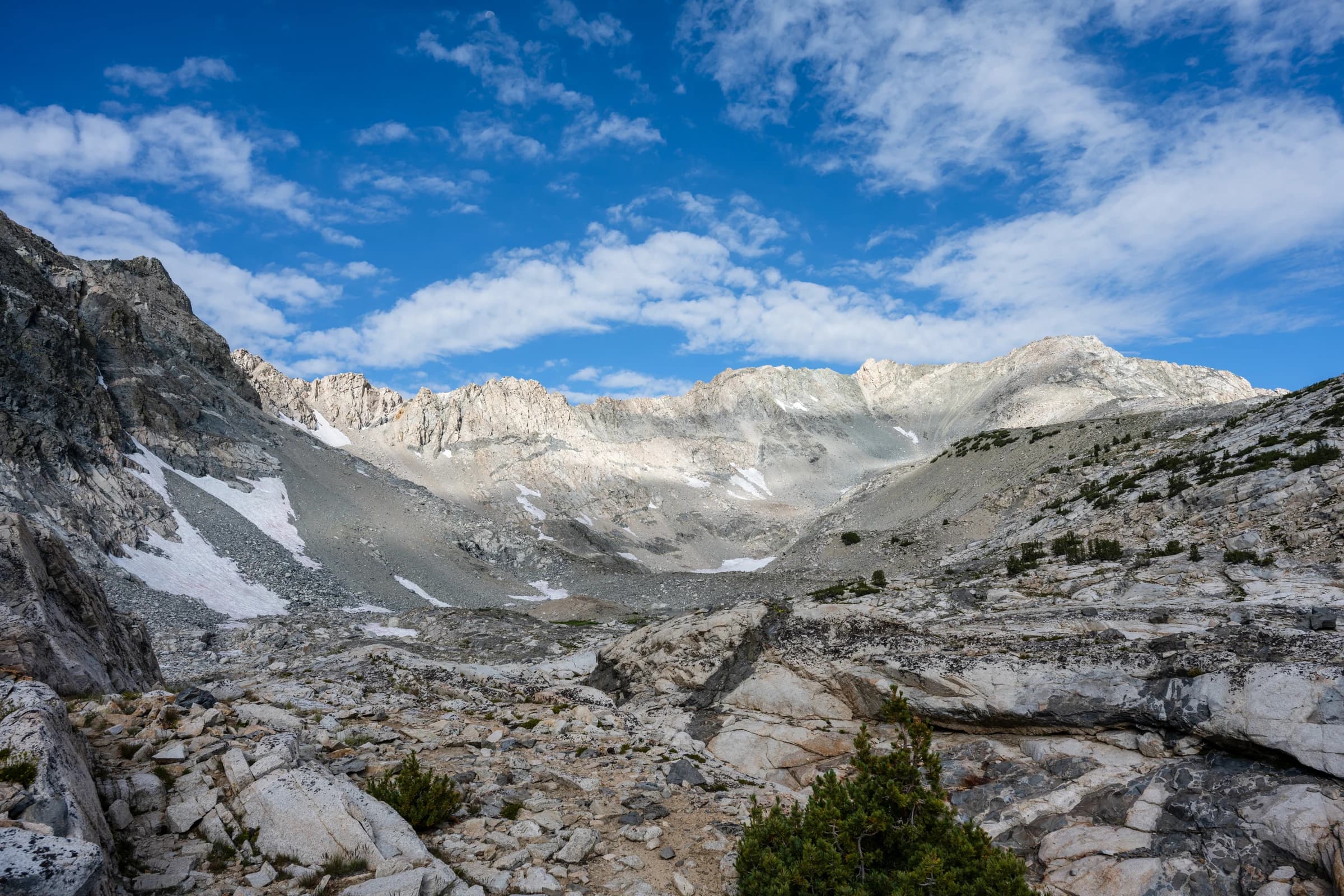
Donahue pass, at 11,066 feet is the boundary of Yosemite National Park on the JMT. This is also the first major obstacle south bound hikers have to cross. In years of heavy show, people do turn around. In this photo, going north bound from Thousand Islands Lake, Donahue pass soars ahead of the hiker, who has to cross this.
Order a print →