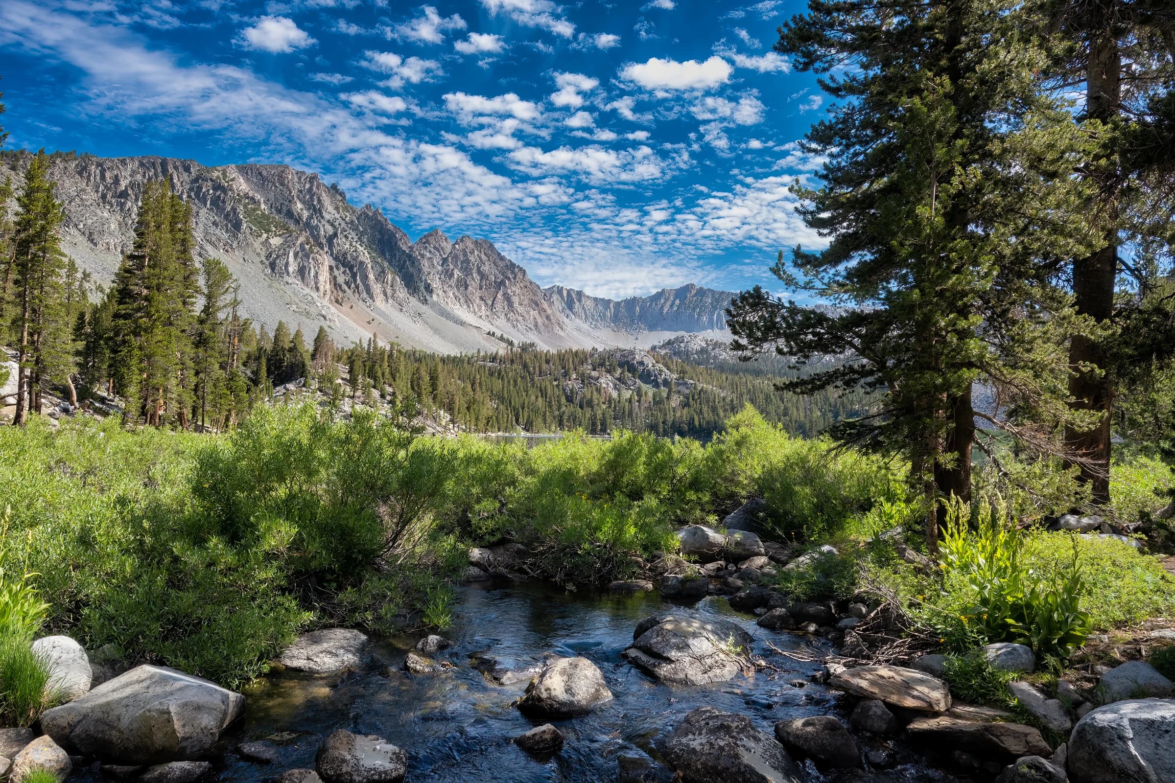
Purple lake inlet

Chapter 3

Reds Meadow to Muir Trail Ranch

Route
Reds Meadow → Muir Trail Ranch
Distance
54 mi
Elevation gain
10,315 ft
Highlights
Silver & Selden Passes

South of Reds Meadow the crowds thin and the trail settles into its long middle. This is the quiet heart of the John Muir Trail: Silver Pass and Selden Pass, the Sallie Keyes Lakes, and the drop into the Vermilion Valley and Muir Trail Ranch — the last real resupply before the highest and most remote stretch of the whole route.

I hiked this section in 2021, working south from the Rush Creek country toward South Lake over a string of days: Reds Meadow to Duck Creek, over Silver Pass to Squaw Lake and Mono Creek, then up past Rose Lake to Muir Trail Ranch. Each pass opens a new basin, and the country grows steadily bigger and emptier the farther south you go.

Muir Trail Ranch is the pivot of the trail. You resupply here, shoulder a heavy load, and walk out into the highest, wildest section — where the next road is a hundred trail miles away.
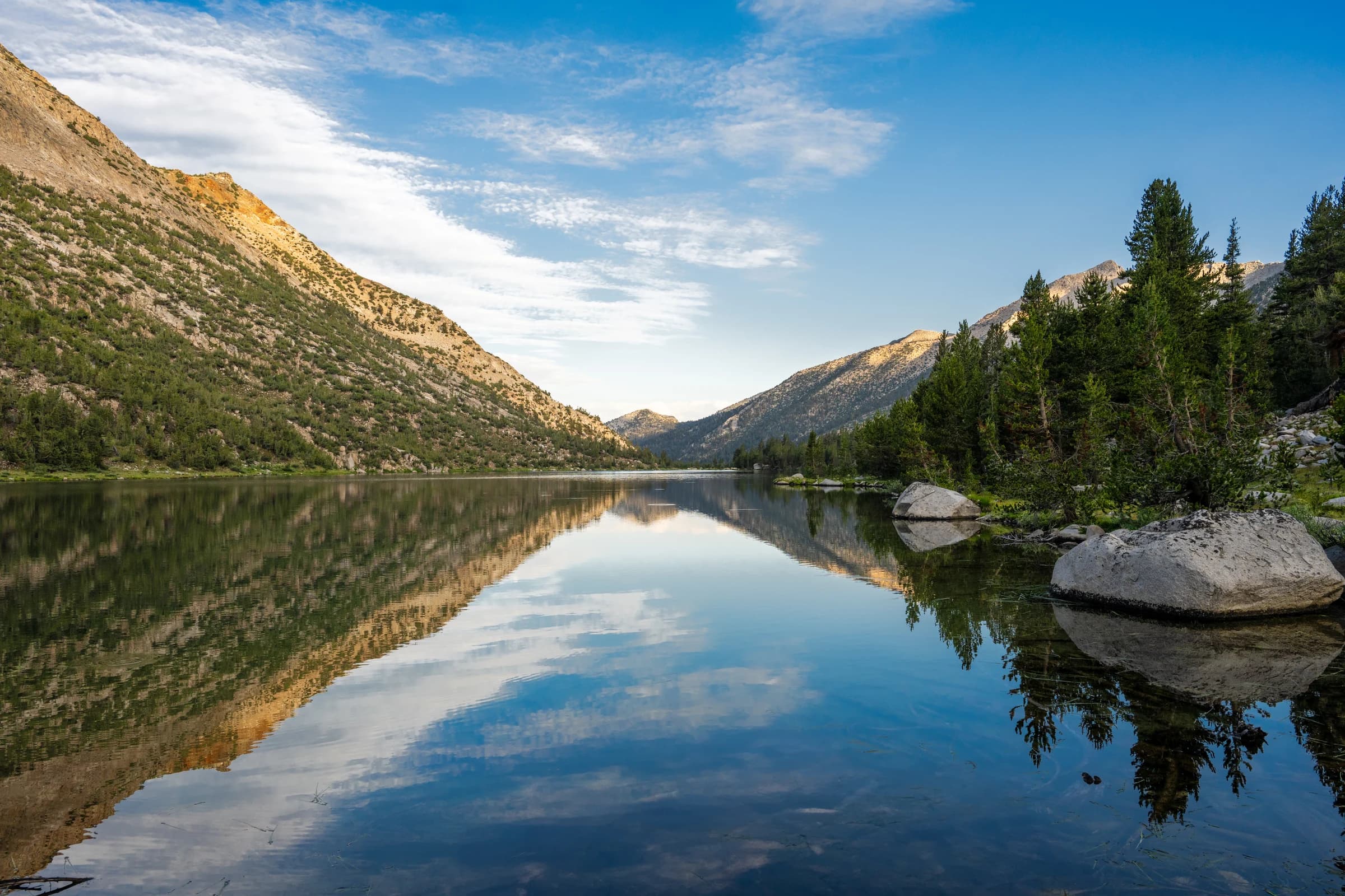
Virginia Lake
Virginia Lake
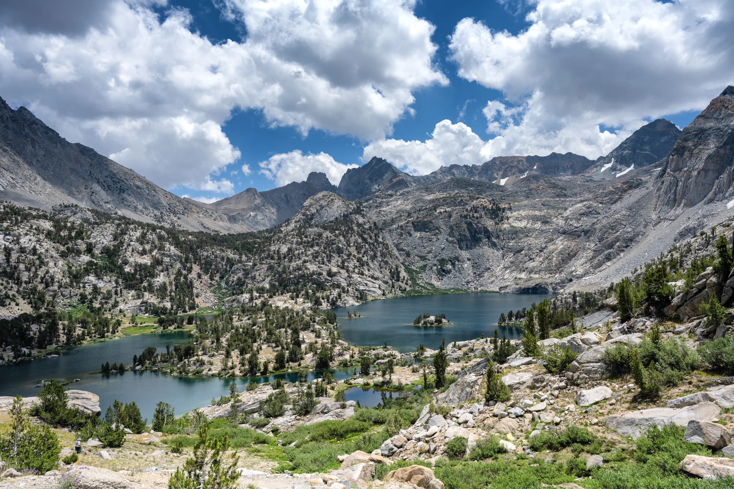
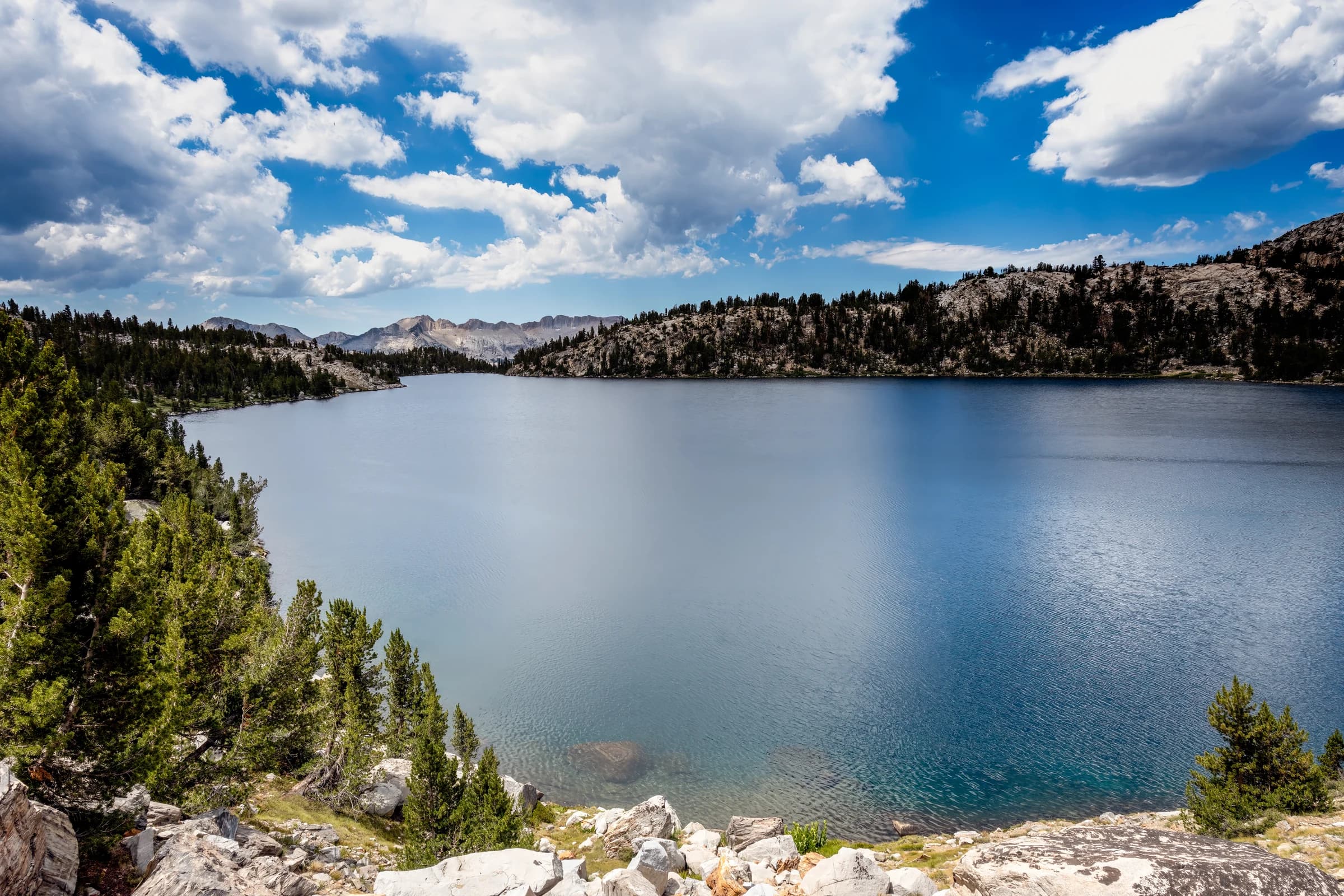
Virginia lake along the John Muir Trail is a popular camping spot. Virginia lakes is one of the largest lakes on the John Muir Trail. It is also a popular destination for a 2-3 day backpacking trip, from Bishop area. Once you cross Duck Pass and continue North, you get to Virginia Lake. On the day we hiked, thunderstorms came in, rather quickly. We were in a hurry to get to Squaw lake that night, and so we did not pause at the lake. As we were leaving the lake and climbing, I could not resist but take this photograph of the lake. I will go back some day and stay here a couple of nights.
Order a print →
Lake Virginia Mountain Reflection
The calm surface of Lake Virginia reflects the surrounding mountains and scattered clouds.
Order a print →
Vidette meadows
Vidette meadows
Vidette Meadow stretches along Bubbs Creek more than a dozen miles from Cedar Grove in Kings Canyon National Park. The John Muir Trail passes beside Vidette Meadow, making it a popular camping place for hikers. Lower Vidette Meadow is less than a mile downstream, just beyond the John Muir Trail. The lower meadow is along the popular Rae Lakes Loop trail. Both meadows are guarded by two prominent peaks (shown above), West Vidette and East Vidette. This photograph, taken from the John Muir Trail, shows Vidette meadow.
Order a print →
Rae lakes
Rae lakes
Rae Lakes is a series of lakes in the Sierra Nevada, located in Kings Canyon National Park, eastern Fresno County, California. The lakes are located on the John Muir Trail at the base of Black Mountain. This photograph is taken from the sixty lake basin trail which looks down upon Rae lakes and its surrounding peaks.
Order a print →
Squaw Lake Sunset
Squaw Lake Sunset
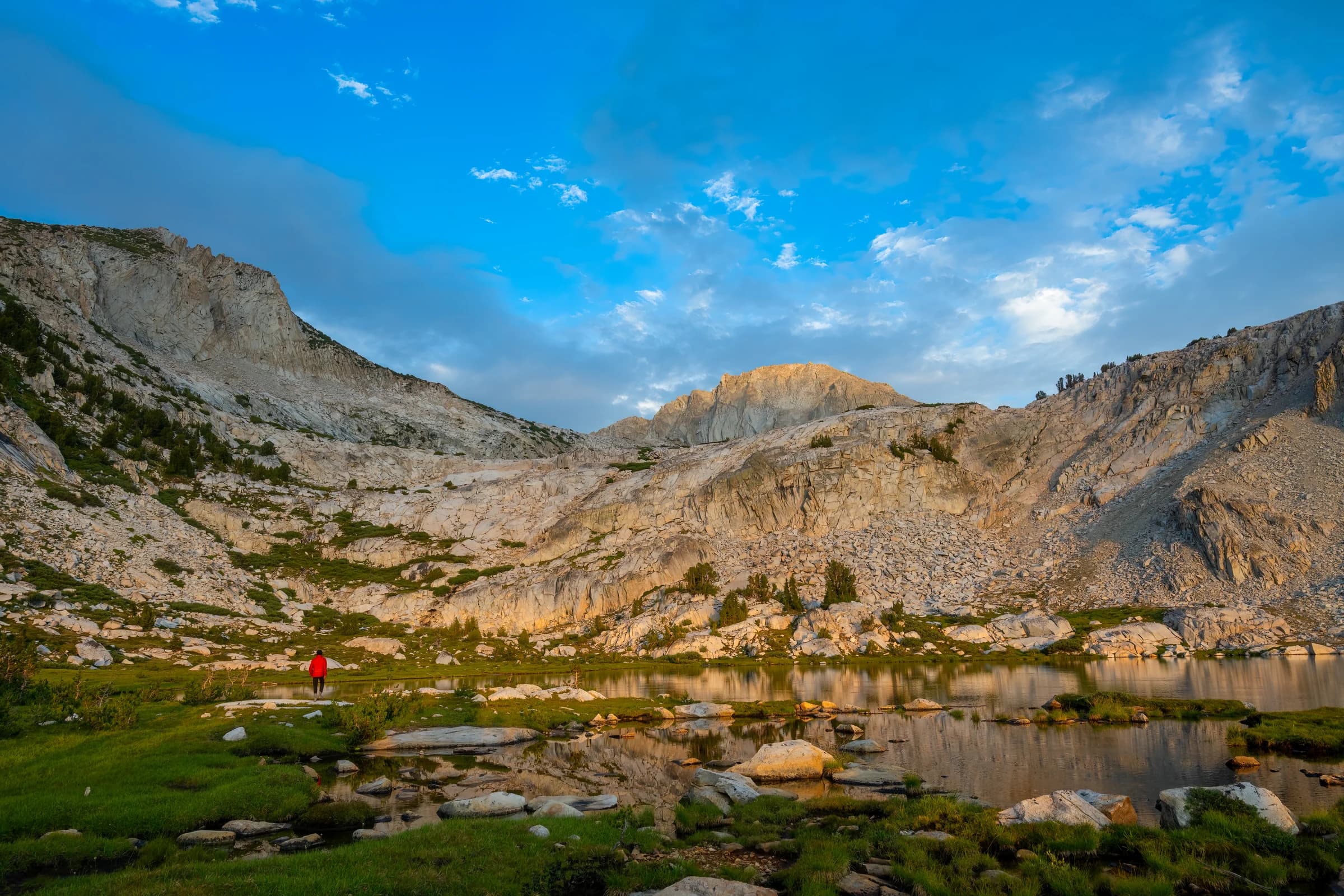
Along the John Muir Trail, Squaw lake is a popular camping destination. This is shot during sunset. There are multiple passes in the John Muir Trail. Hikers tend to stay by a lake or creek just before a pass, so they can climb through passes early in the morning before the heat gets to us. Squaw lake is just before Silver pass and a great place to stay for the night. On the day we were hiking, there were summer thunderstorms that are common in the High Sierra. We quickly setup camp and waited for the storm to pass. Once the storm passed, alpenglow set in and gave us gorgeous colors.
Order a print →
Lower Lyell Canyon
Lower Lyell Canyon
Lyell Canyon is a stretch of eight miles from Tuolumne meadows all the way to the foothill of Donahue pass. This is the path one takes to exit Yosemite National Park.
Order a print →
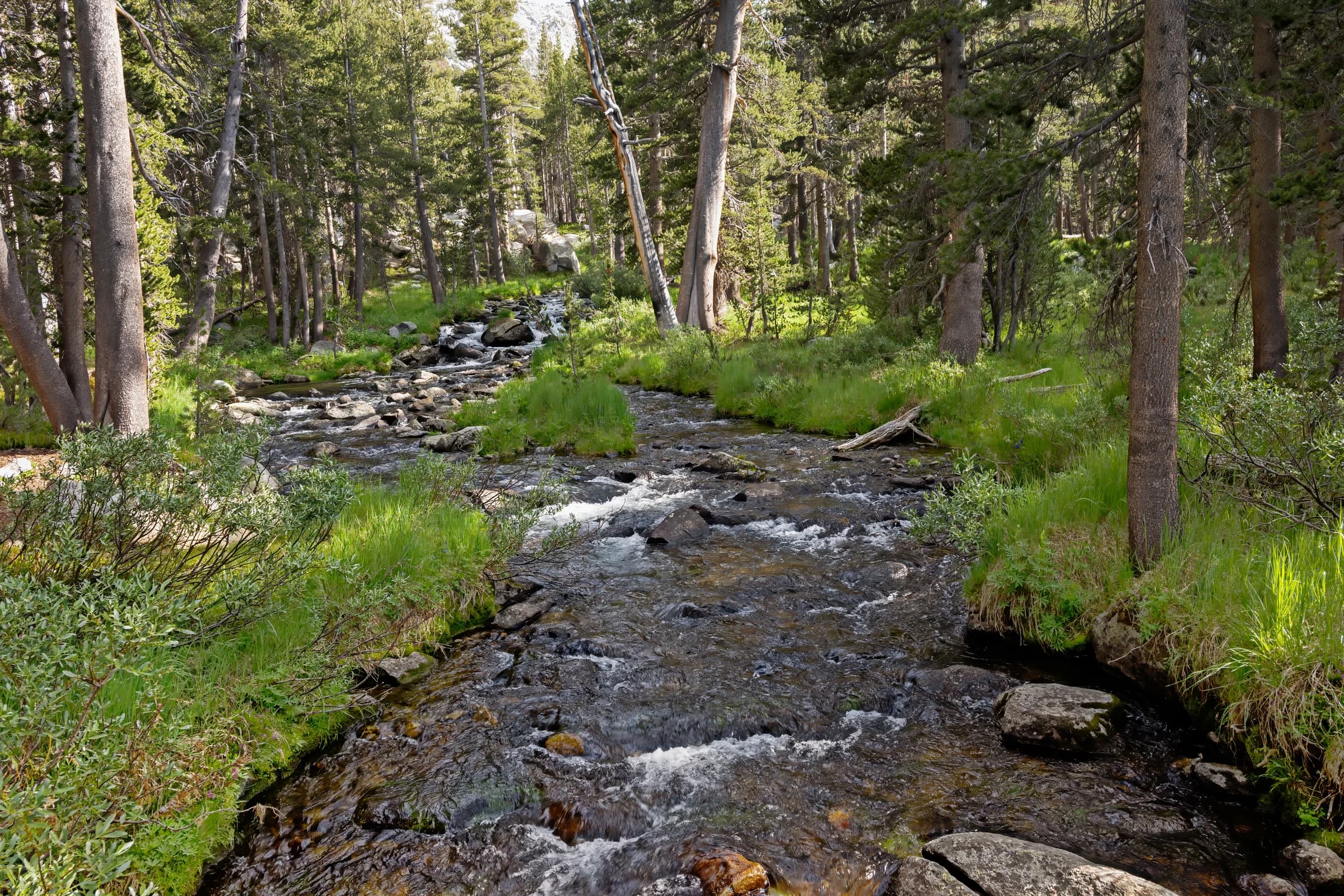
Sierra Nevada Creek and Forest
A creek cascades over rocks through a forest in the Sierra Nevada mountains.
Order a print →
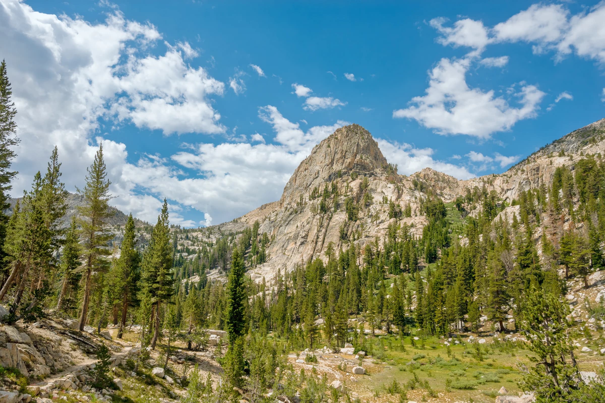
Going down Silver pass
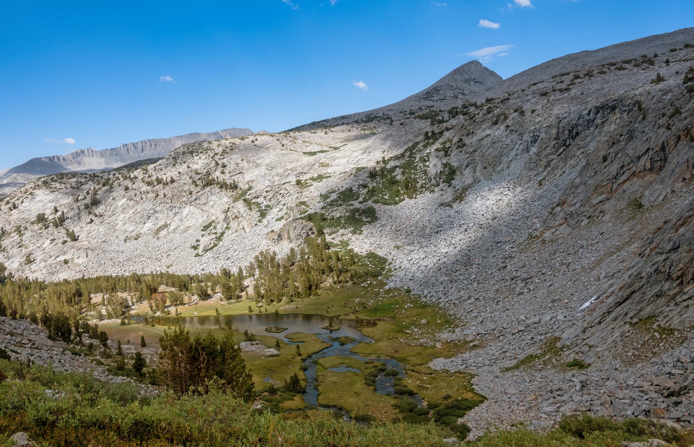
Going down Silver pass towards Mono Creek, the hike contains walking through multiple meadows and stunning formations such as this.
Order a print →
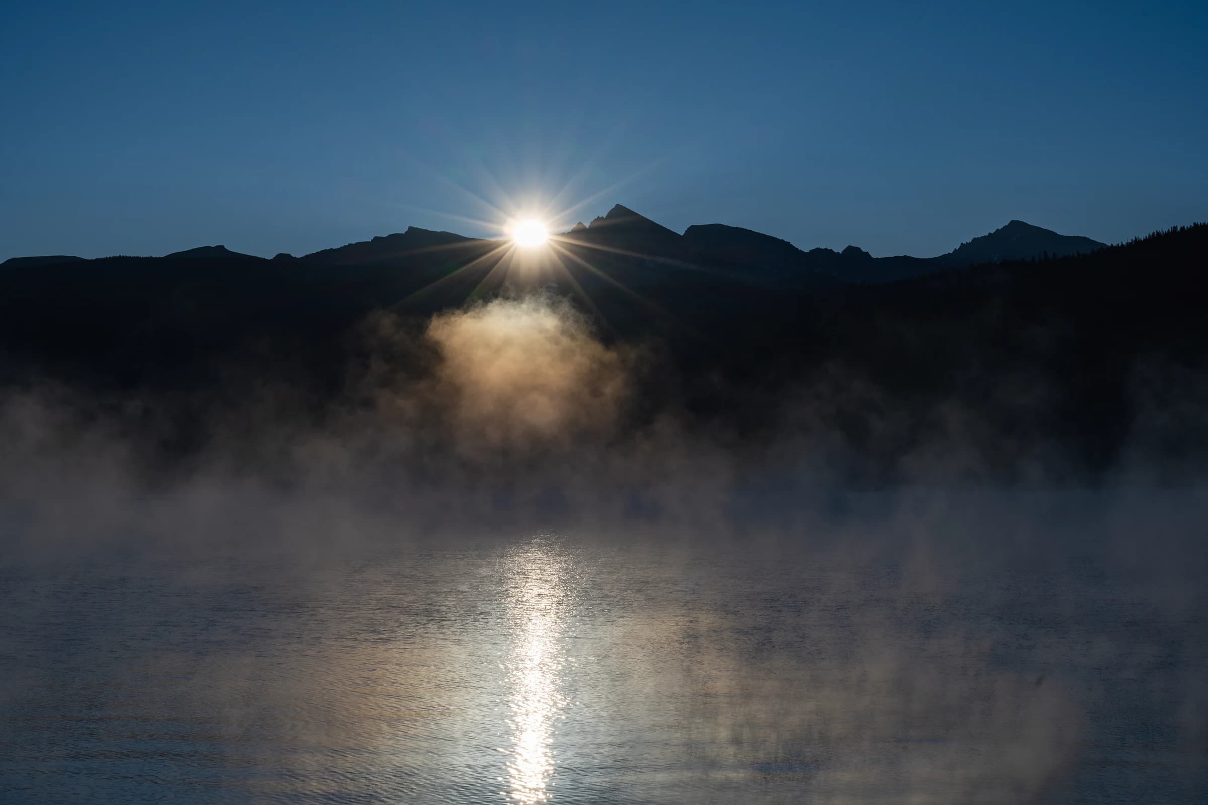
Sunrise over Recess Peak
Vermillion Valley Resort is familiar to JMT and PCT hikers. I resupplied at MTR when I did this section of the JMT, so I didn't know how good VVR is. I have read legendary reviews about customer service there. I have also wanted to visit them after Creek Fire and last year's drought. It was a biting cold morning. Mist from the water rose and added a surreal feeling to the scene at sunrise.
Order a print →
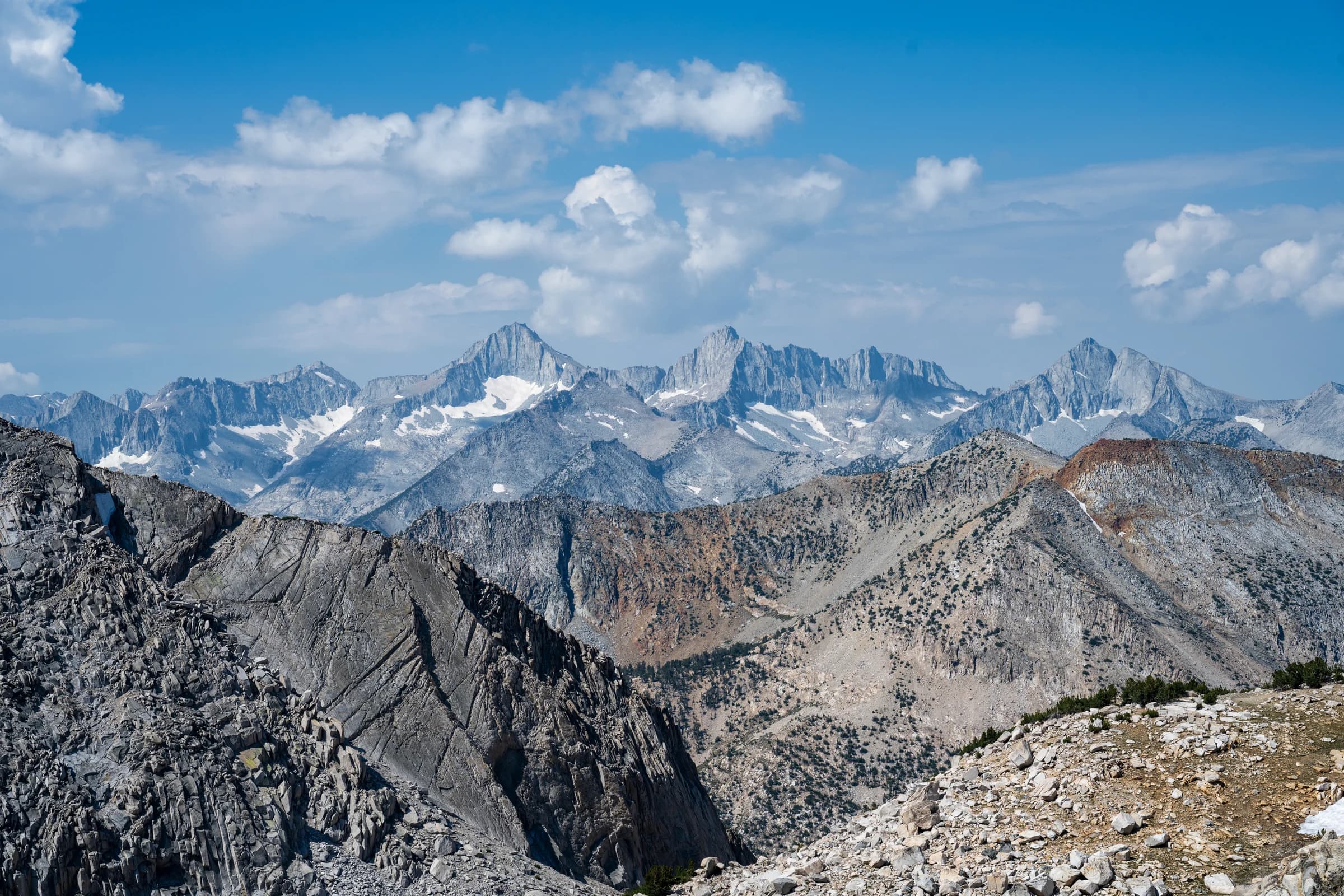
View from Glen Pass looking South
Standing at 11,957 feet, Glen Pass is a hard pass along the JMT. From the top of the Glen Pass, this is the view on the South side of the pass.
Order a print →
TullyHole
TullyHole
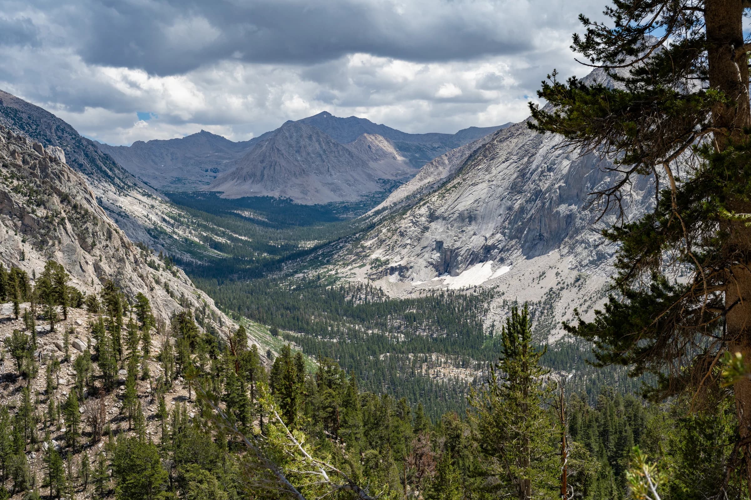
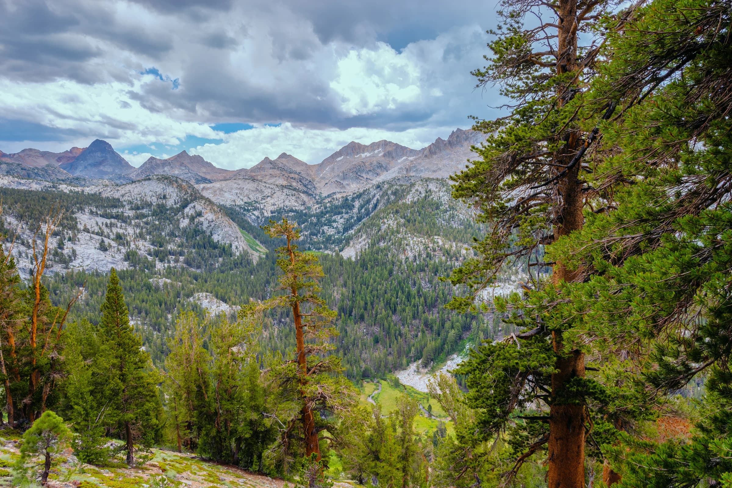
Tully Hole is a significant landmark on the John Muir Trail. It is right after Virginia Lake towards Silver Pass. There are some magnificent photos of Tully Hole on the Internet. When we crossed Virginia Lake, thunderstorms started. There is a sharp climb after the lake, so we hustled. In a rush to get to the campground at Squaw lake, which was about two miles away, I took a wrong turn, then in a haste to correct, jumped off the side trail and promptly rolled my ankle as well. I was in general agony and we were pushing uphill quite rapidly, we completely missed the fact that we were crossing Tully Hole and take in the scenery. I have one or two photos of the area, with trees obstructing the view - we missed all the clear views behind us since we were so focused on getting to Squaw lake. When I look back at this photograph and the clouds, I remember exactly how we felt that day and how we waited in the lighting squat position among these trees for a bit when we heard thunder and somehow managed to get to Squaw lake without being drenched. That reminds me that I should go back to Virginia lake and to Tully Hole area some day.
Order a print →
Marie lake
Marie lake
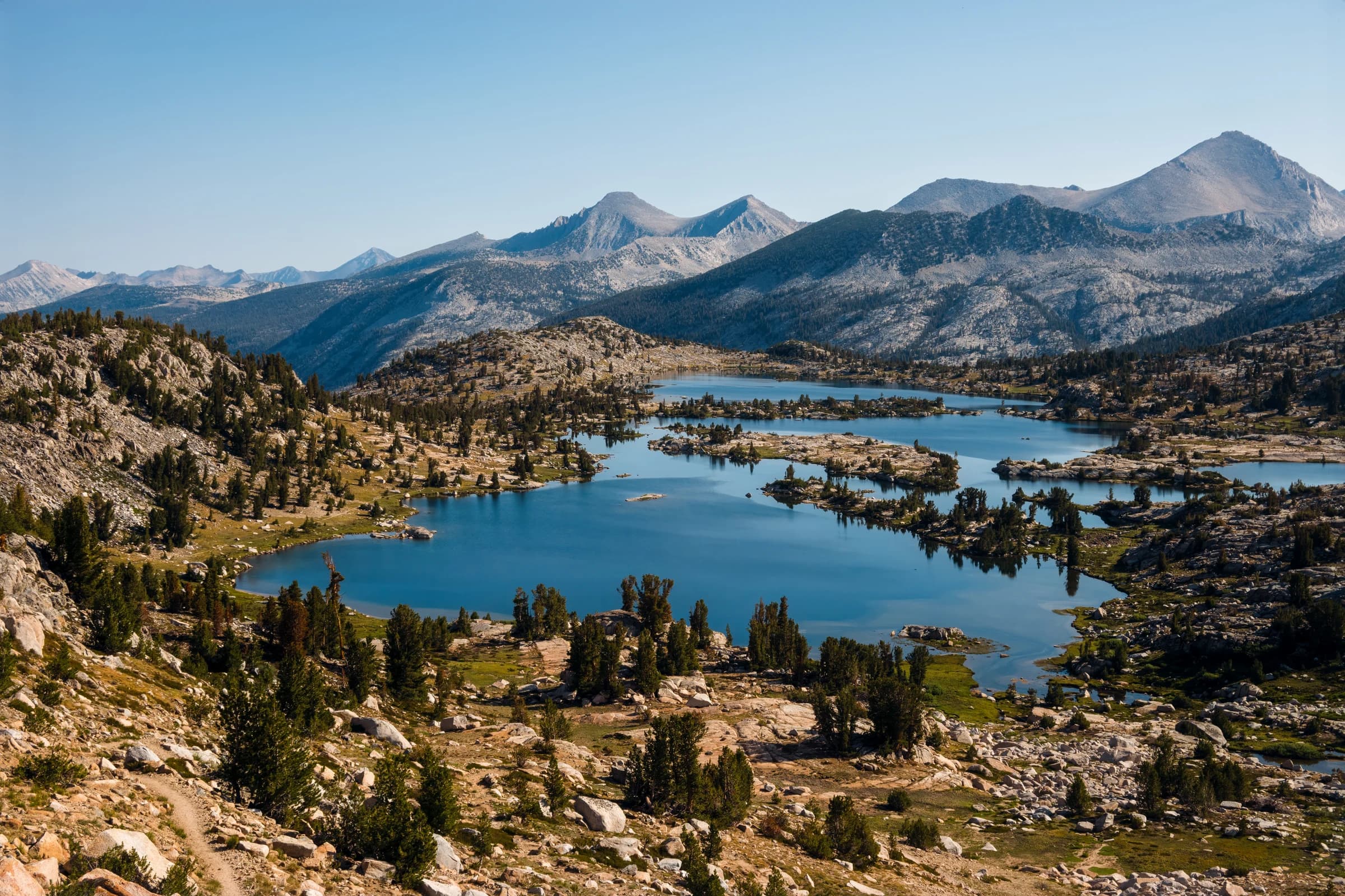
Taken from the Selden Pass, Marie lake basin and the Seven Gables are seen in this photograph.
Order a print →