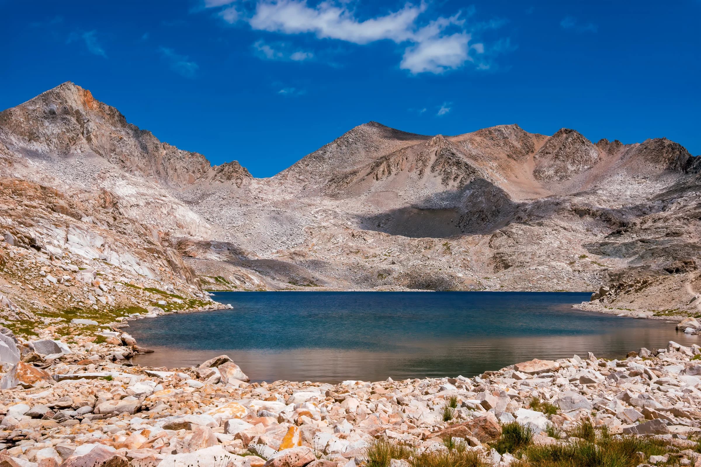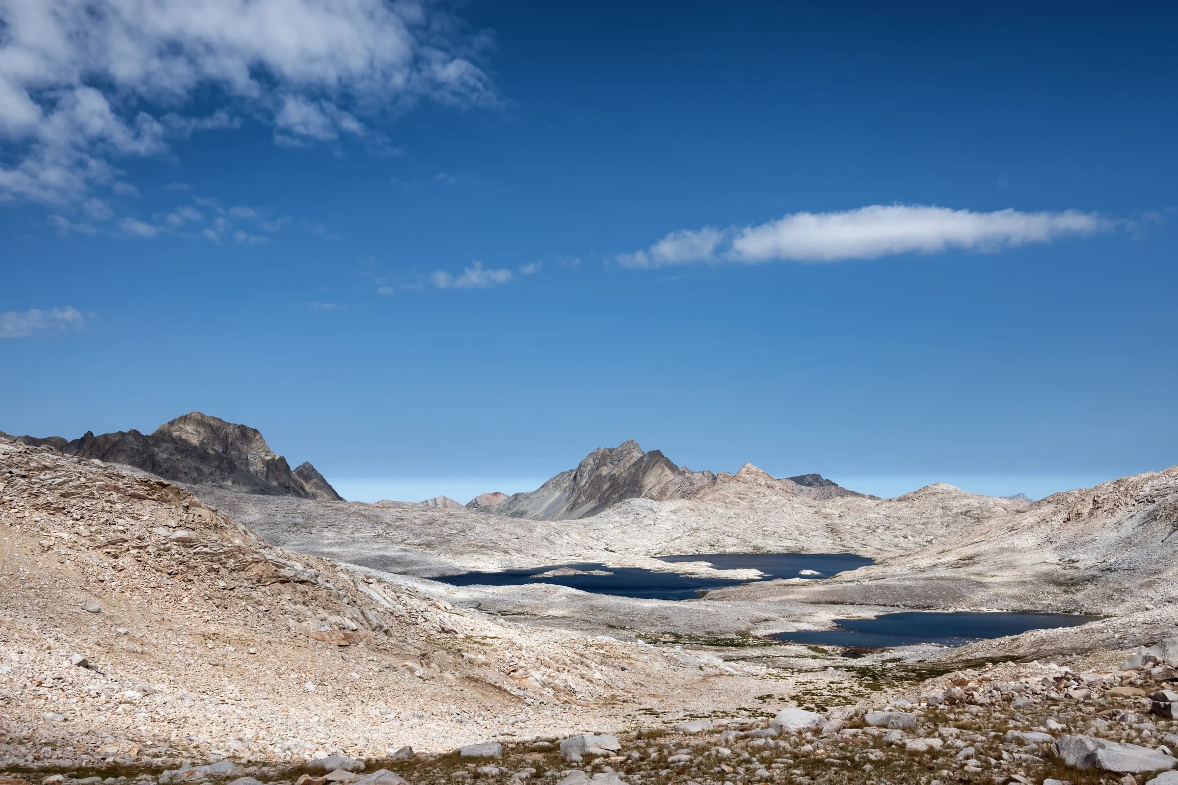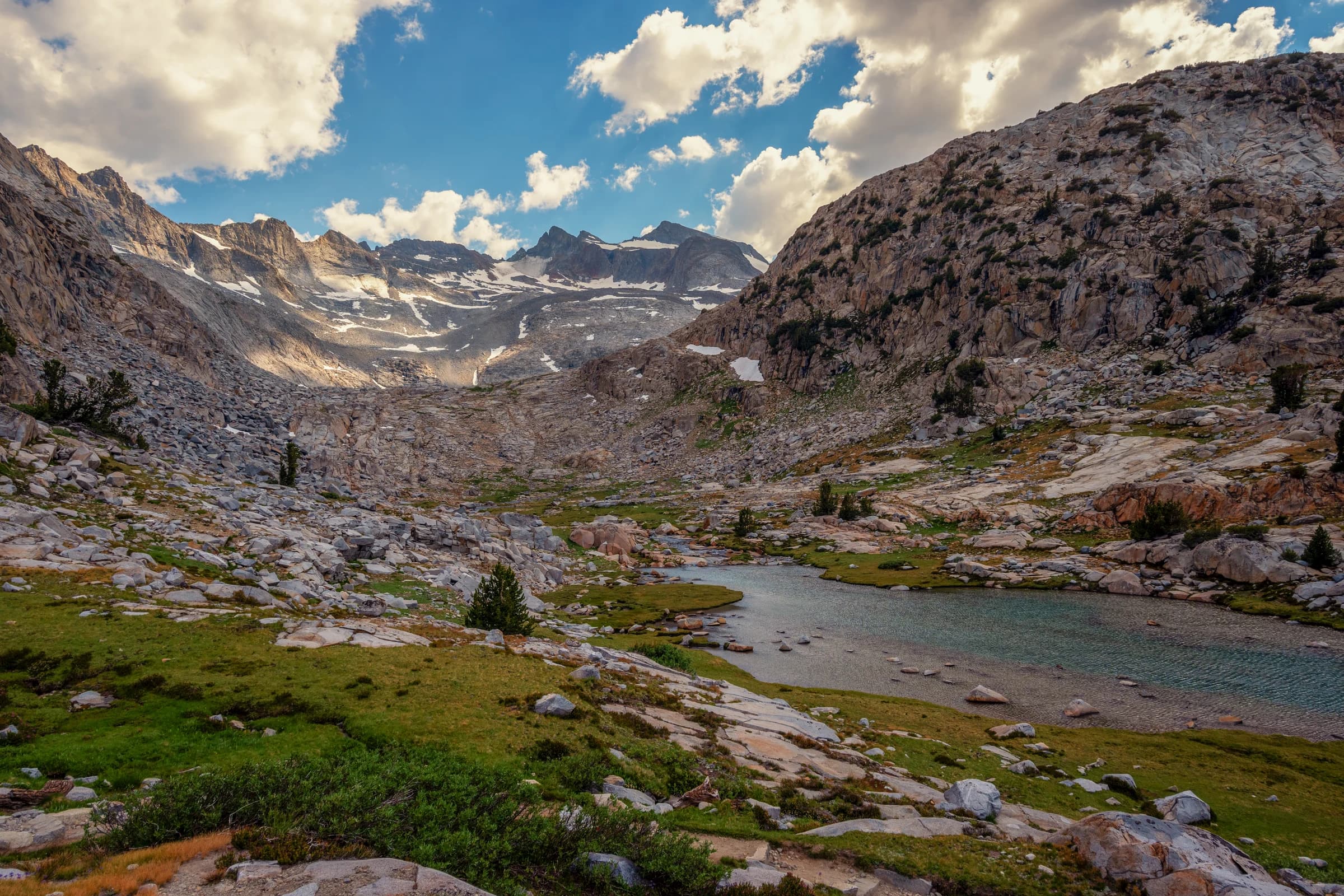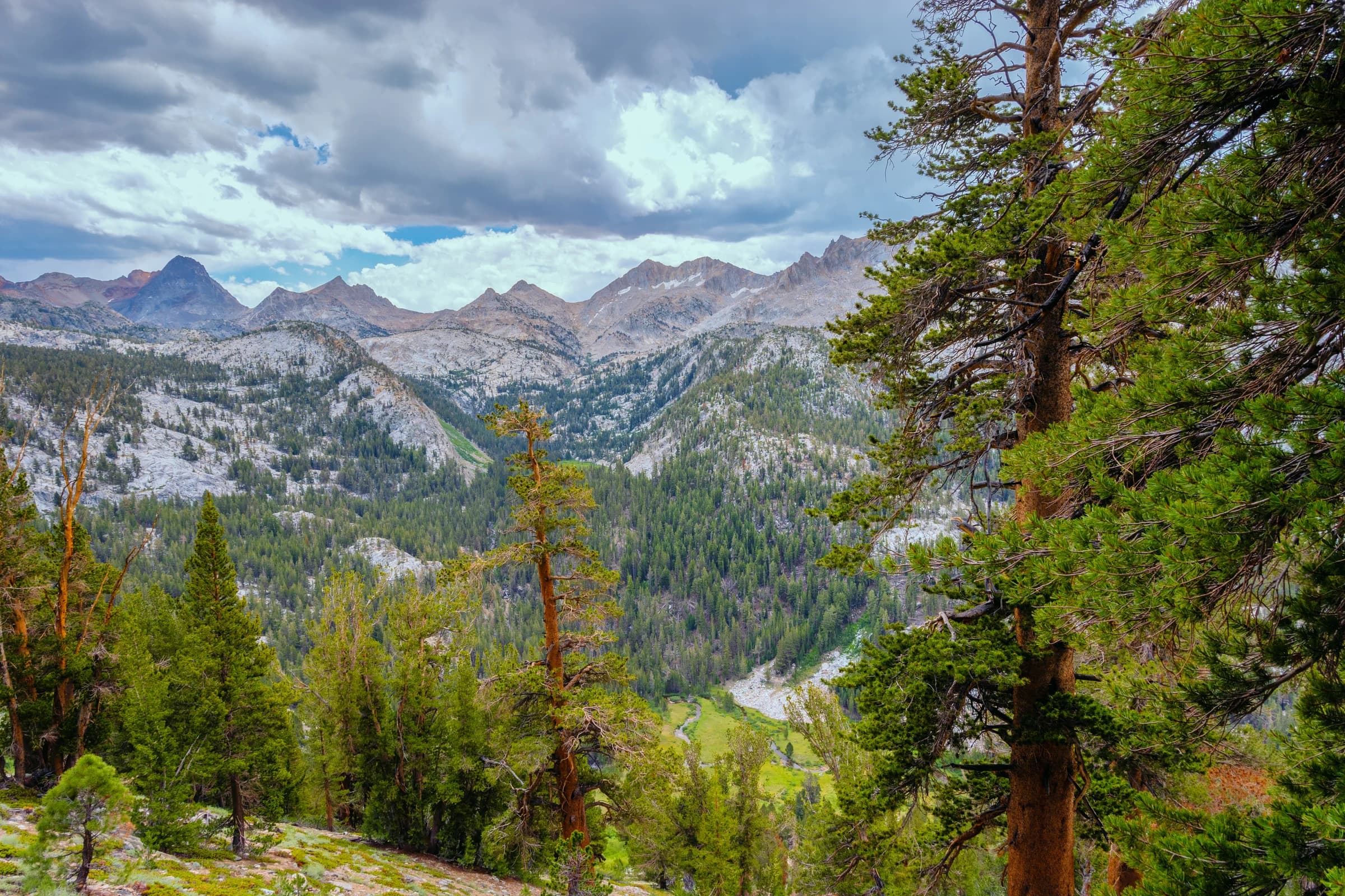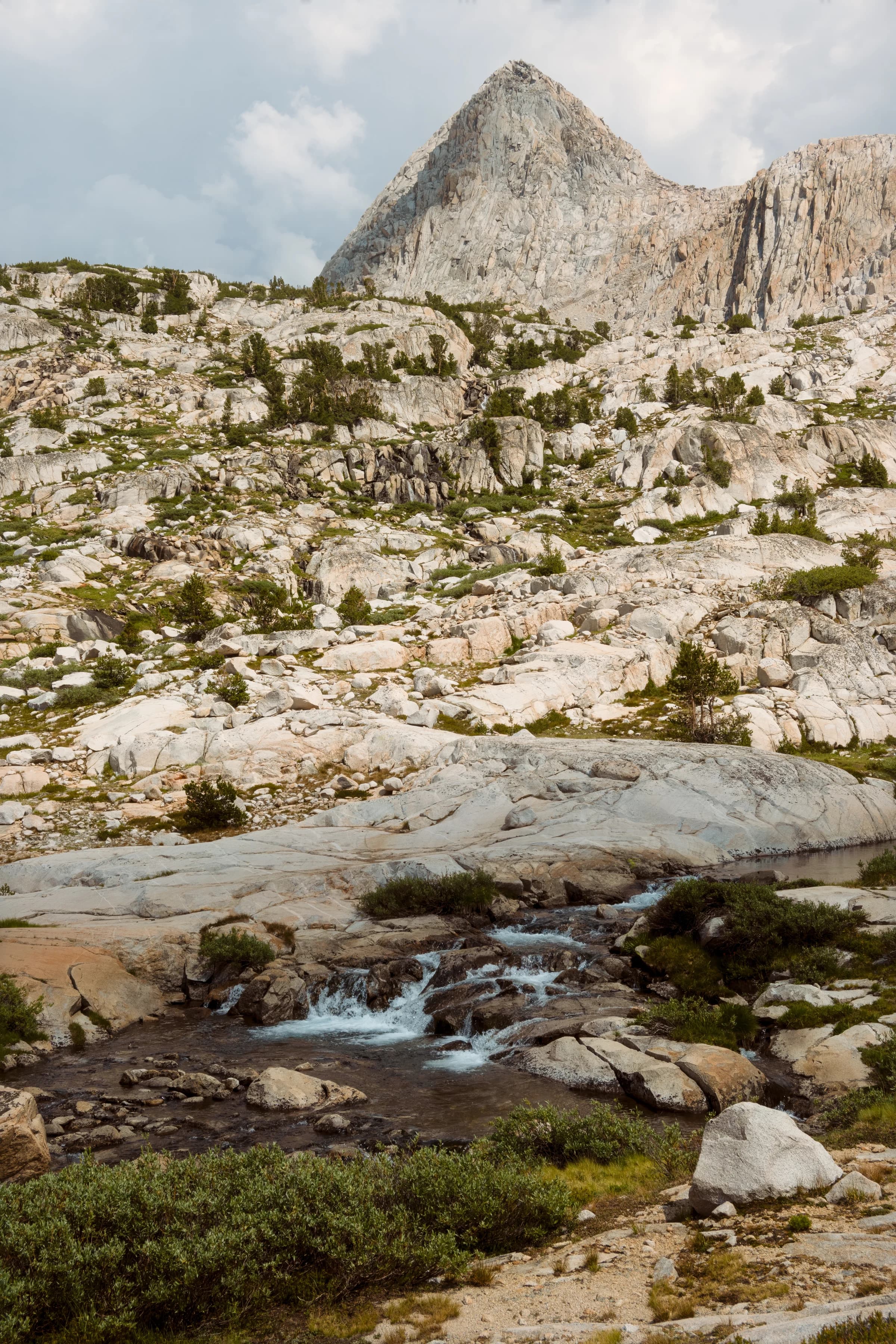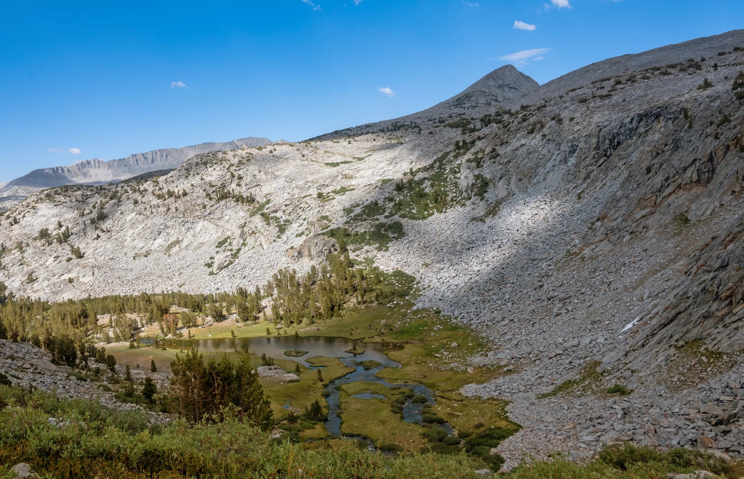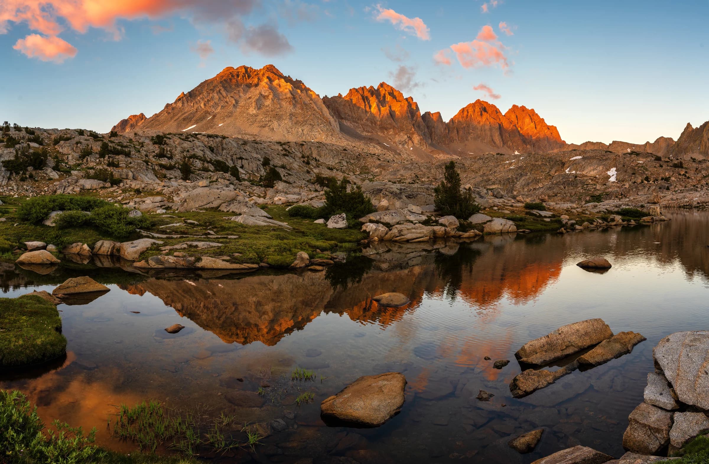
Dusy Basin Sunset

Chapter 4

Muir Trail Ranch to Onion Valley

Route
Muir Trail Ranch → Onion Valley
Distance
44 mi
Elevation gain
14,648 ft
Highlights
Muir, Mather, Pinchot, Glen

This is the roof of the John Muir Trail. From Muir Trail Ranch the route climbs into the Evolution country and over Muir Pass, then strings together the great passes one after another — Mather, Pinchot, Glen — before dropping to Rae Lakes and climbing out at Kearsarge Pass to Onion Valley. Bishop Pass and the Golden Staircase are thrown in just to complete it.

This was the last piece of the trail for me, and the hardest — the section I had saved for the end. I got a permit hiking out of South Lake (getting a permit gets harder every year), and planned it slow: as many photographs as I could take, and safely out the other side. Much of my route planning drew on Inga Aksamit's Highs and Lows on the John Muir Trail, which finally arrived on Audible, so I now own it in all three formats.

Over Glen Pass, the trail reaches Rae Lakes — for my money one of the most beautiful spots in the range — then climbs east over Kearsarge Pass and out to Onion Valley, the last resupply and rest before the final push to Whitney.
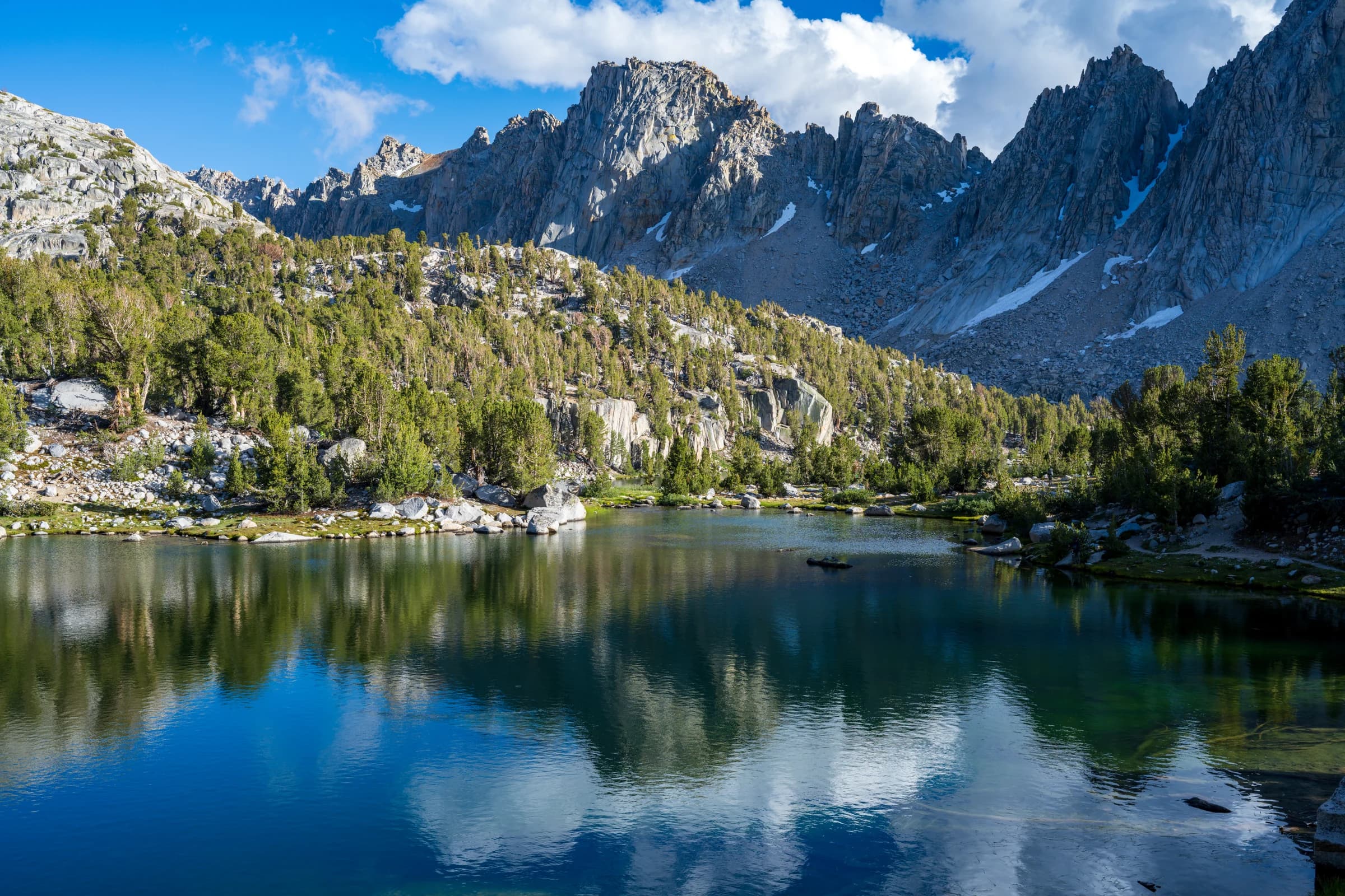
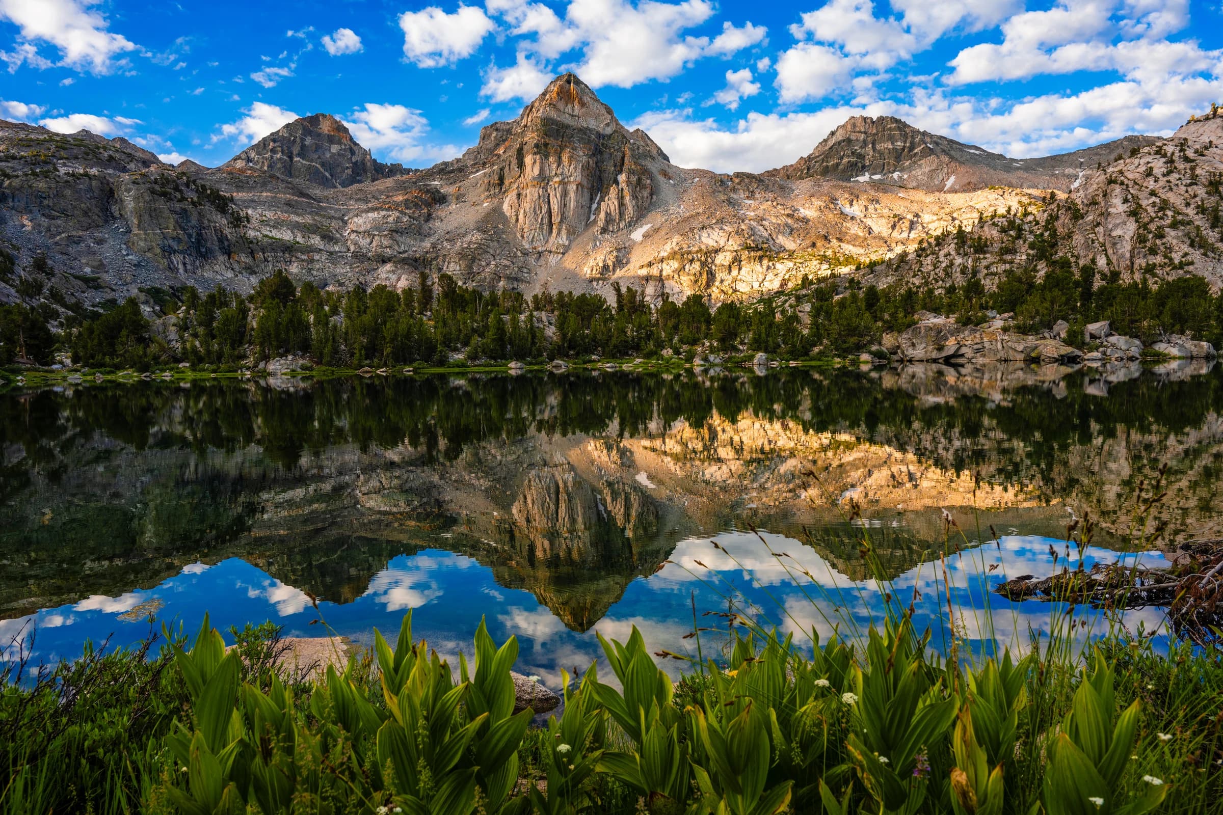
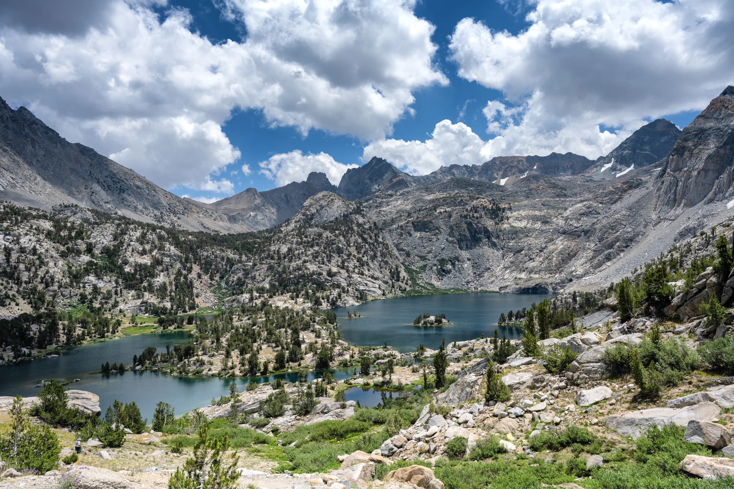
Granite Peaks Reflection - Kearsarge Pinnacles
A serene alpine lake reflects the dramatic granite peaks of the Sierra Nevada mountains. The crystal-clear water mirrors the sky and clouds, creating a stunning natural artwork. This is the Kearsarge Pinnacles and Kearsarge Lakes.
Order a print →
Lake Marjorie
Lake Marjorie
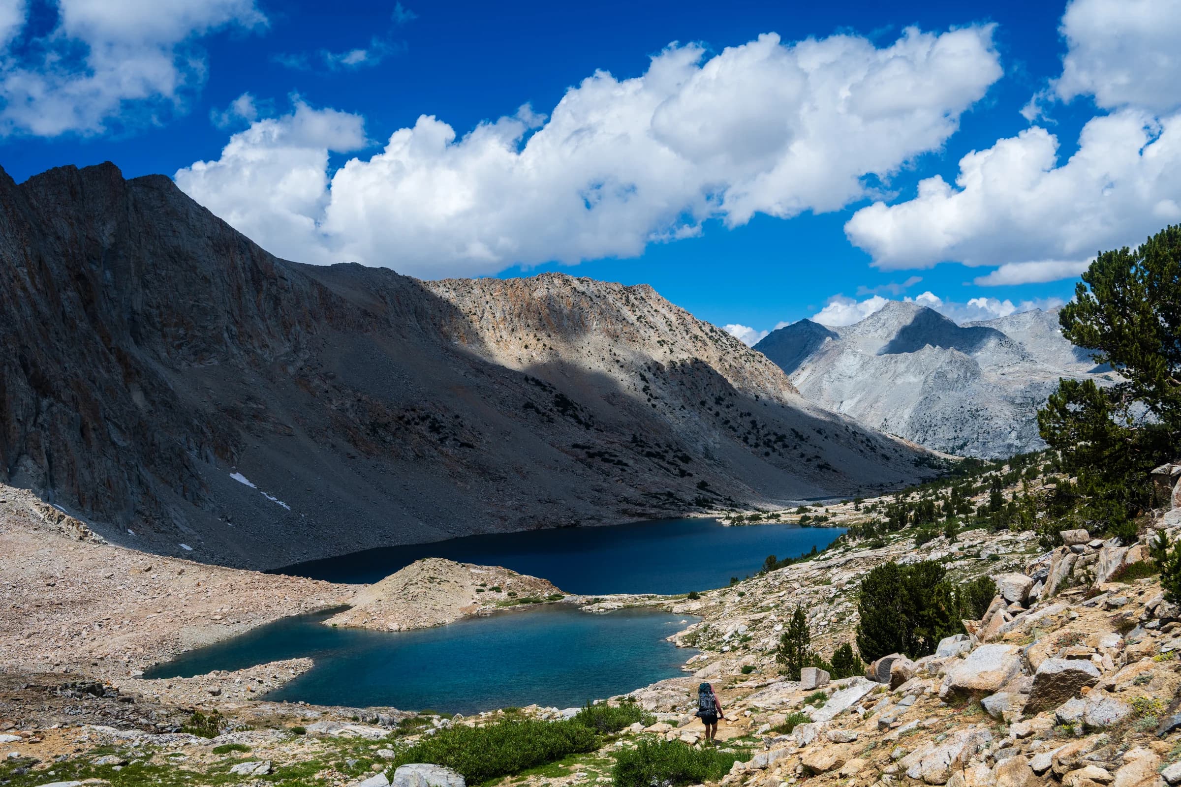
A backpacker walks along a rocky trail above Big Pothole Lake, surrounded by granite mountains under a partly cloudy sky. This is Lake Marjorie before Pinchot Pass
Order a print →
Helen Lake
Helen Lake
Helen lake, named after Helen Muir Frank, John Muir's daughter. This is situated downhill south bound from Muir Pass. It is a gorgeous alpine lake above the treeline.
Order a print →
Leconte Canyon
Leconte Canyon
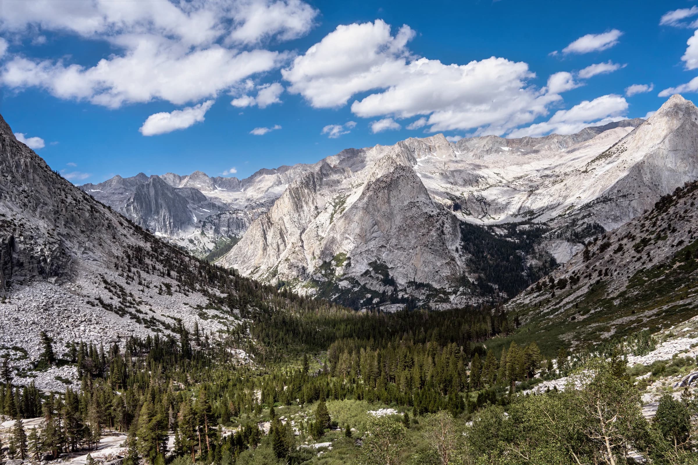
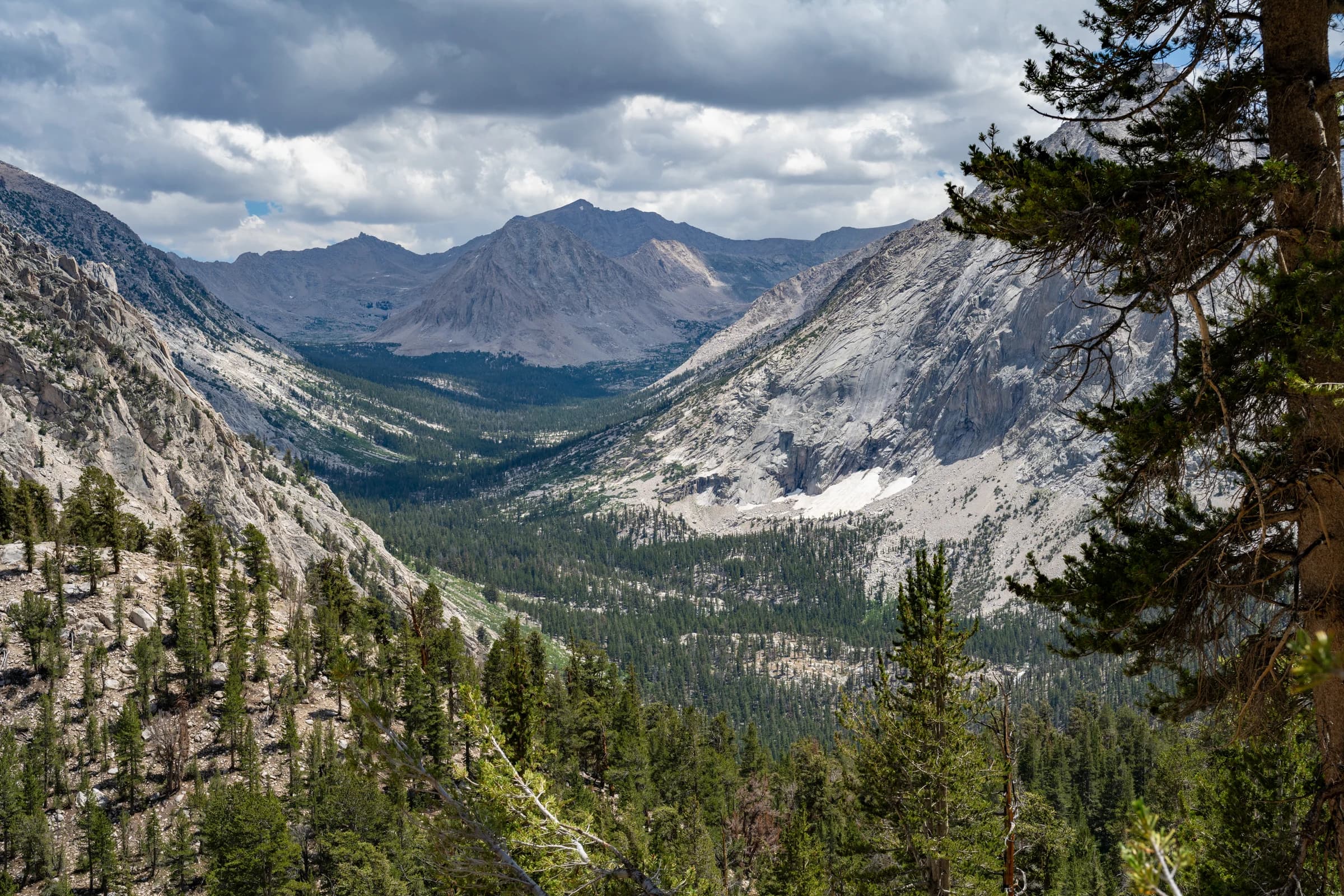
A wide valley filled with pine trees and scattered granite boulders is framed by steep, rocky mountain slopes under a blue sky with scattered white clouds. This is the view of Leconte Canyon
Order a print →
Lower Palisade Lake
Lower Palisade Lake
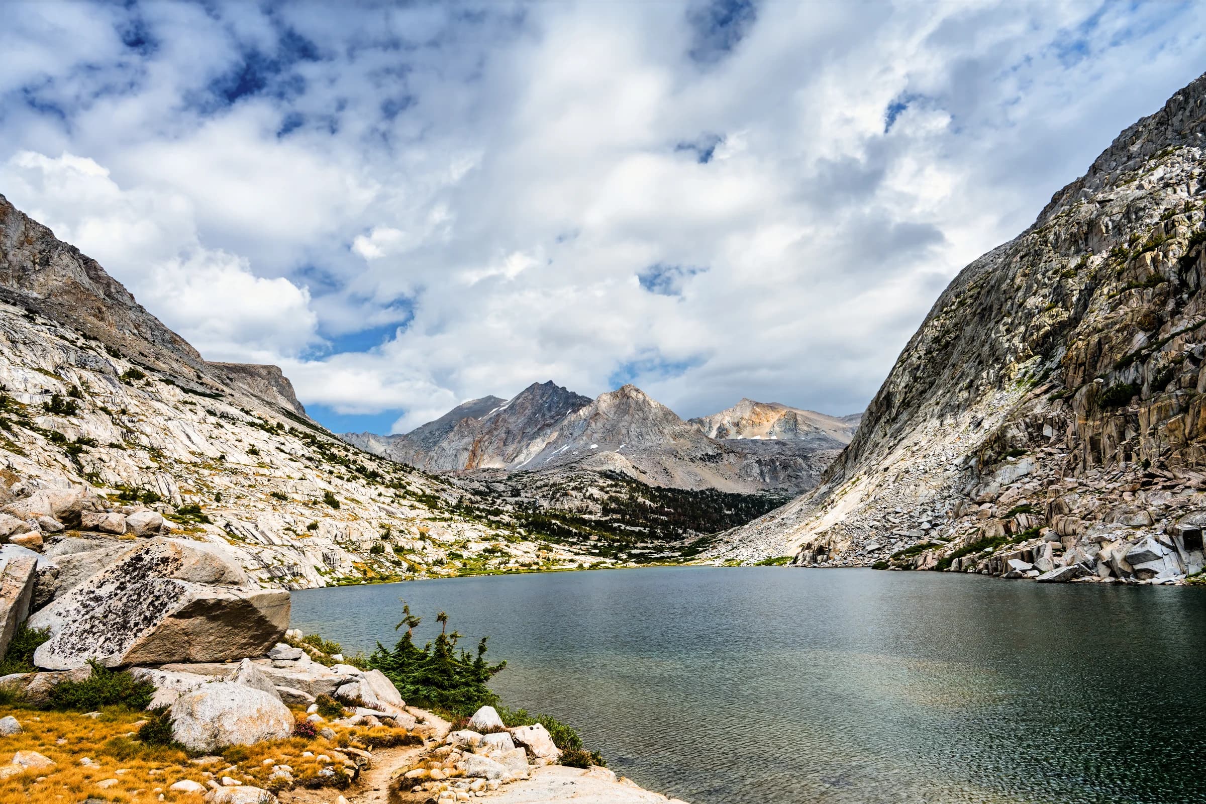
A high-altitude lake is surrounded by steep granite mountain slopes under a sky filled with white and blue clouds. Taken in Lower Palisade Lake.
Order a print →
Muir Hut
Muir Hut
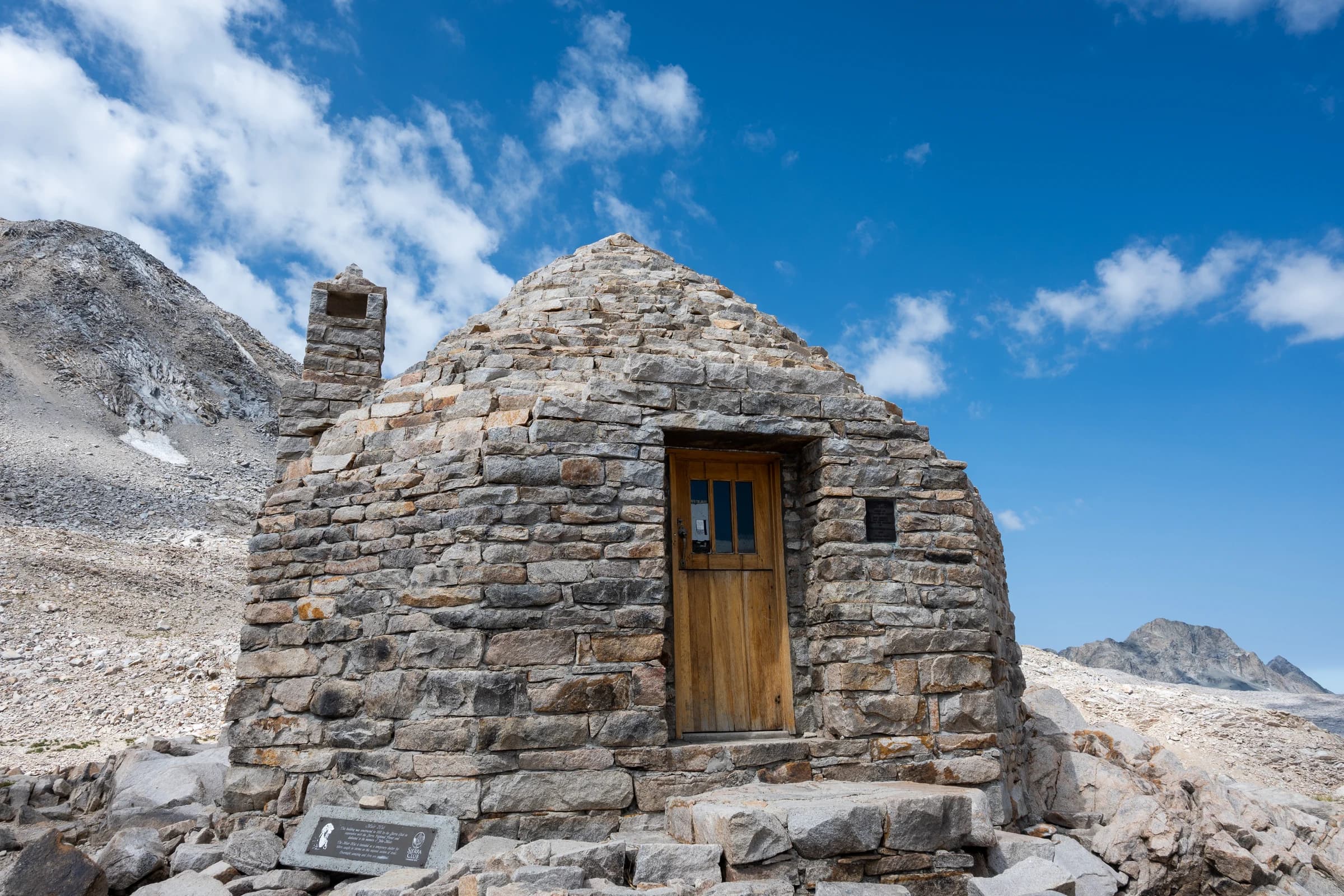
Perched atop a pass at 11,955 feet , the John Muir Memorial Shelter, or Muir Hut, as it's often called, is an incredible and improbable granite structure. It is a landmark in the JMT.
Order a print →
Mt. McGee and Evolution Valley
Looking back from near the Muir memorial center on the John Muir Trail, Mt. McGee and the Evolution Valley comes into focus. For a lot of the JMT hikers, evolution valley is one of their favorite part to hike.
Order a print →
Painted lady and middle Rae lake
Painted Lady is situated in Kings Canyon National Park, approximately one mile west of the crest of the Sierra Nevada mountain range, 11.5 miles (18.5 km) west of the community of Independence, and one-half mile north of line parent Mount Rixford. Topographic relief is significant as the north aspect rises 1,580 feet (480 meters) above Rae Lakes in 0.38 miles (0.61 km). Access to the peak is possible via the John Muir Trail which crosses Glen Pass one mile to the southwest of the peak. Photographed here are the painted lady and its reflection in the middle Rae lake.
Order a print →
The path to MTR
The path to MTR
Muir Trail Ranch is a popular resupply facility in the John Muir Trail. It is located at 7,799 feet of elevation where the surrounding trails are well above 10,000 feet. As you go down to MTR, you walk through meadows and trees, a welcome change from the high elevation.
Order a print →
Charlotte lake, from the JMT
Charlotte Lake (also known as Charlotta Lake, or Rhoda Lake) is a lake in the Sierra Nevada, located in Kings Canyon National Park, eastern Fresno County, California. The lake is located on the John Muir Trail, at an elevation of 10,544 feet (3,214 m). This is a popular resupply point for JMT hikers. In this photo, taken from the John Muir Trail, the lake and surrounding peaks are seen.
Order a print →
Sierra Lake and Granite Peaks
A small alpine lake sits below granite peaks in the Sierra Nevada mountains.
Order a print →
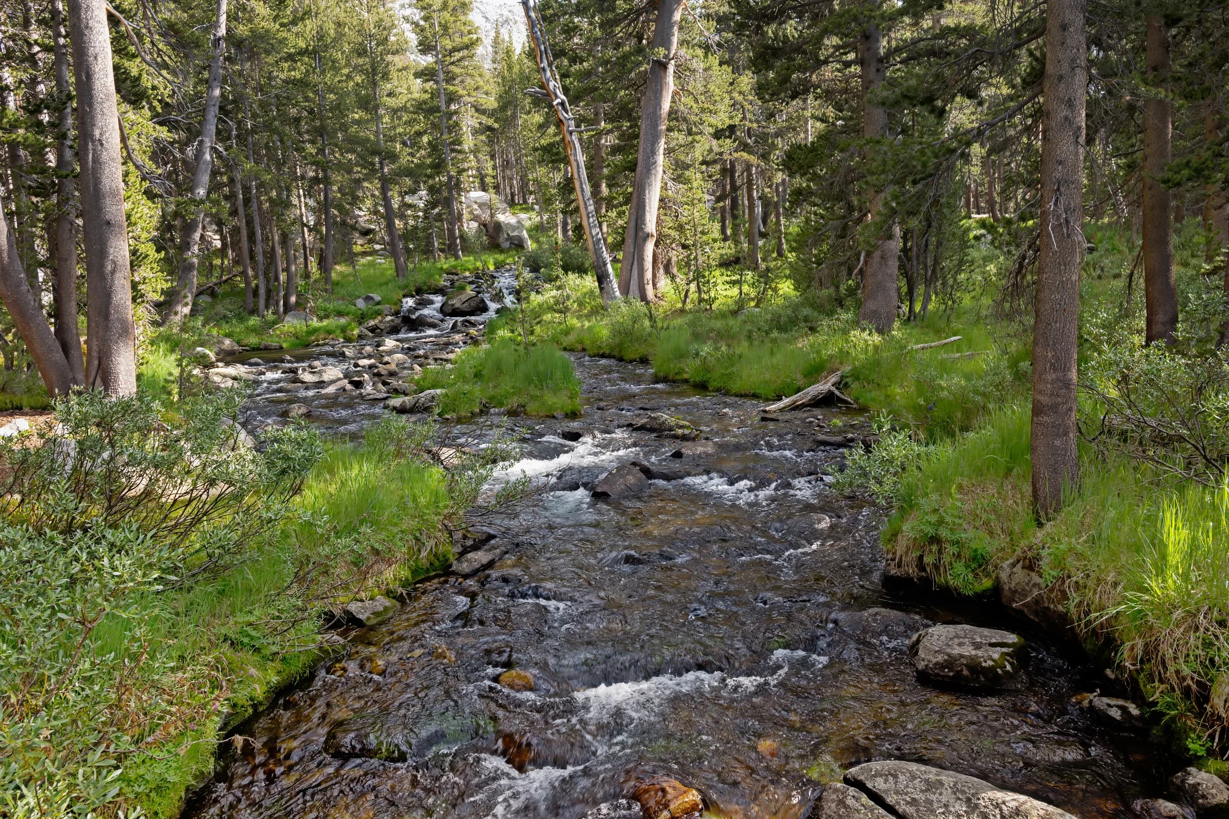
Sierra Nevada Creek and Forest
A creek cascades over rocks through a forest in the Sierra Nevada mountains.
Order a print →
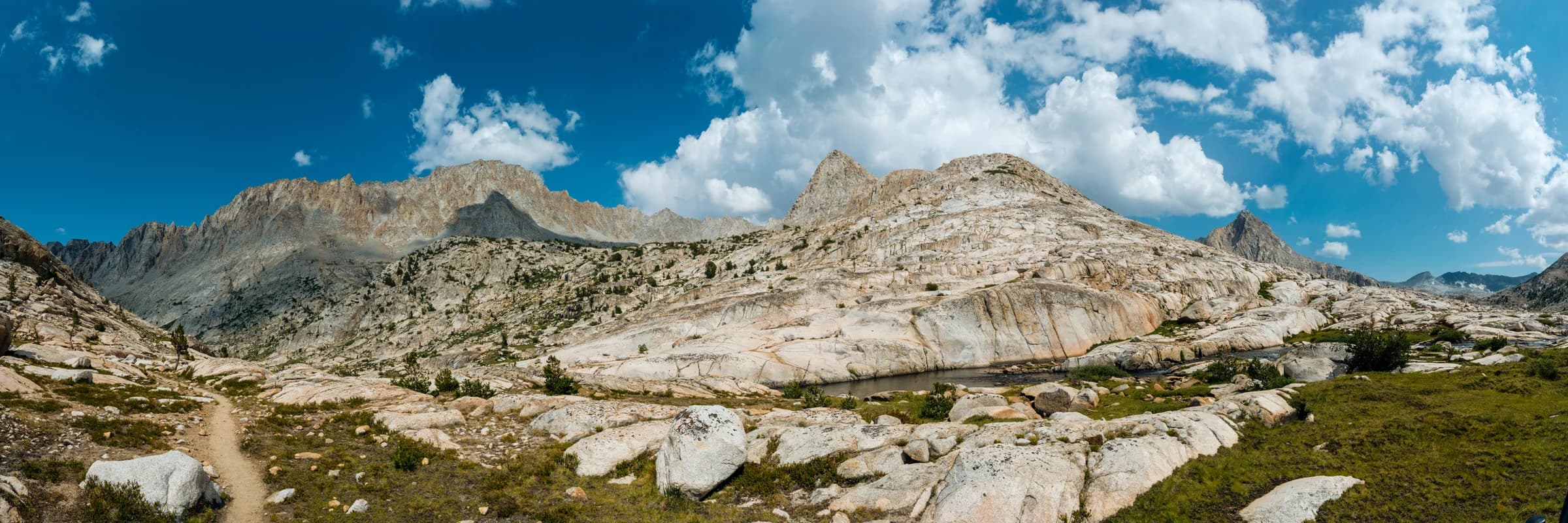
Evolution Peaks Panorama
Evolution valley is one of the most popular areas for backpackers of the John Muir Trail. The peaks themselves are named after great scientists of the evolution theory such as Mount Darwin, Mount Mendel, Mount Fiske, Mount Haeckel, Mount Huxley, Mount Spencer, Mount Wallace, and Mount Lamarck. Photographed are these peaks in a 3:1 panoramic format.
Order a print →
Rae lakes
Rae lakes
Rae Lakes is a series of lakes in the Sierra Nevada, located in Kings Canyon National Park, eastern Fresno County, California. The lakes are located on the John Muir Trail at the base of Black Mountain. This photograph is taken from the sixty lake basin trail which looks down upon Rae lakes and its surrounding peaks.
Order a print →
TullyHole
TullyHole
Tully Hole is a significant landmark on the John Muir Trail. It is right after Virginia Lake towards Silver Pass. There are some magnificent photos of Tully Hole on the Internet. When we crossed Virginia Lake, thunderstorms started. There is a sharp climb after the lake, so we hustled. In a rush to get to the campground at Squaw lake, which was about two miles away, I took a wrong turn, then in a haste to correct, jumped off the side trail and promptly rolled my ankle as well. I was in general agony and we were pushing uphill quite rapidly, we completely missed the fact that we were crossing Tully Hole and take in the scenery. I have one or two photos of the area, with trees obstructing the view - we missed all the clear views behind us since we were so focused on getting to Squaw lake. When I look back at this photograph and the clouds, I remember exactly how we felt that day and how we waited in the lighting squat position among these trees for a bit when we heard thunder and somehow managed to get to Squaw lake without being drenched. That reminds me that I should go back to Virginia lake and to Tully Hole area some day.
Order a print →
Vidette meadows
Vidette meadows
Vidette Meadow stretches along Bubbs Creek more than a dozen miles from Cedar Grove in Kings Canyon National Park. The John Muir Trail passes beside Vidette Meadow, making it a popular camping place for hikers. Lower Vidette Meadow is less than a mile downstream, just beyond the John Muir Trail. The lower meadow is along the popular Rae Lakes Loop trail. Both meadows are guarded by two prominent peaks (shown above), West Vidette and East Vidette. This photograph, taken from the John Muir Trail, shows Vidette meadow.
Order a print →
Peaks of evolution valley
The magnificent peaks of Goddard Canyon are seen with Evolution Creek in this photo.
Order a print →
Lower Lyell Canyon
Lower Lyell Canyon
Lyell Canyon is a stretch of eight miles from Tuolumne meadows all the way to the foothill of Donahue pass. This is the path one takes to exit Yosemite National Park.
Order a print →