In 2021 I entered the trail from Rush Creek and turned south. I was hiking with two of my friends and their high school graduate sons. The trip took thirteen days; this chapter covers the first eight, from the Ansel Adams Wilderness over Silver and Selden Passes to Muir Trail Ranch, the last real resupply before the highest and most remote country on the route.
Day 1: Rush Creek to Thousand Island Lake
Rush Creek climbs up to the trail near Thousand Island Lake, in the Ansel Adams Wilderness, about 230,000 acres between Yosemite and the John Muir Wilderness. It was originally named the Minarets Wilderness, which, in my opinion, is a great name as well; it was renamed for Ansel Adams in 1984, the year he died.
Rush Creek is one of the easier entry permits to obtain on the JMT, for good reason: it is a very hard first day. My plan for this hike was to have a resupply at Reds Meadow after three days, then five days to MTR and a resupply. I was exiting Le Conte Canyon, but the rest of my group would get another resupply at Onion Valley through a mule carrier and continue to Mount Whitney.
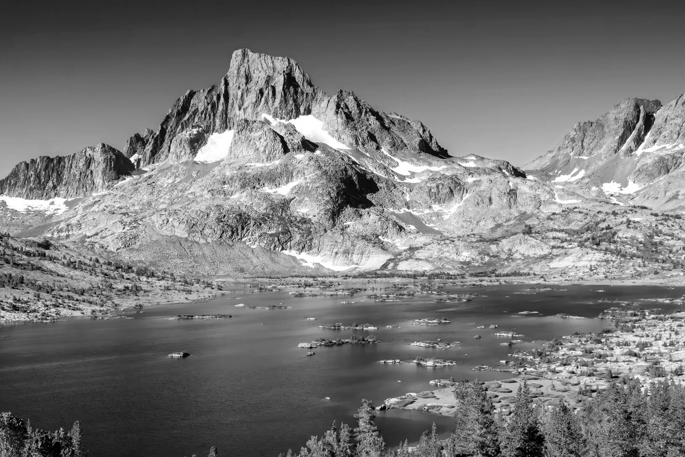
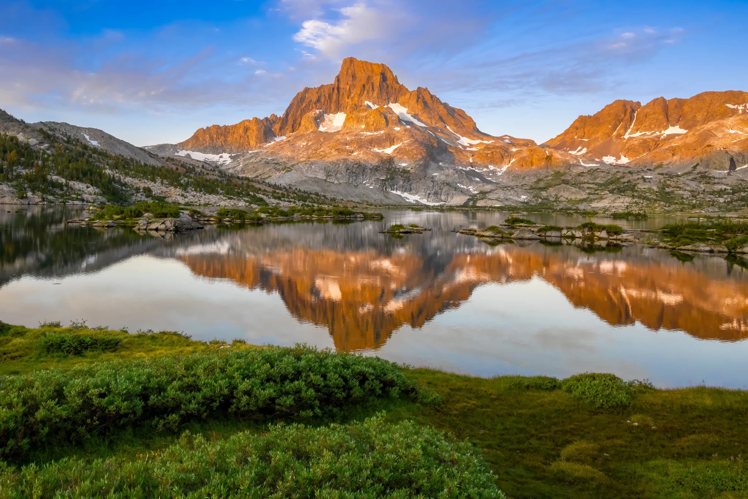
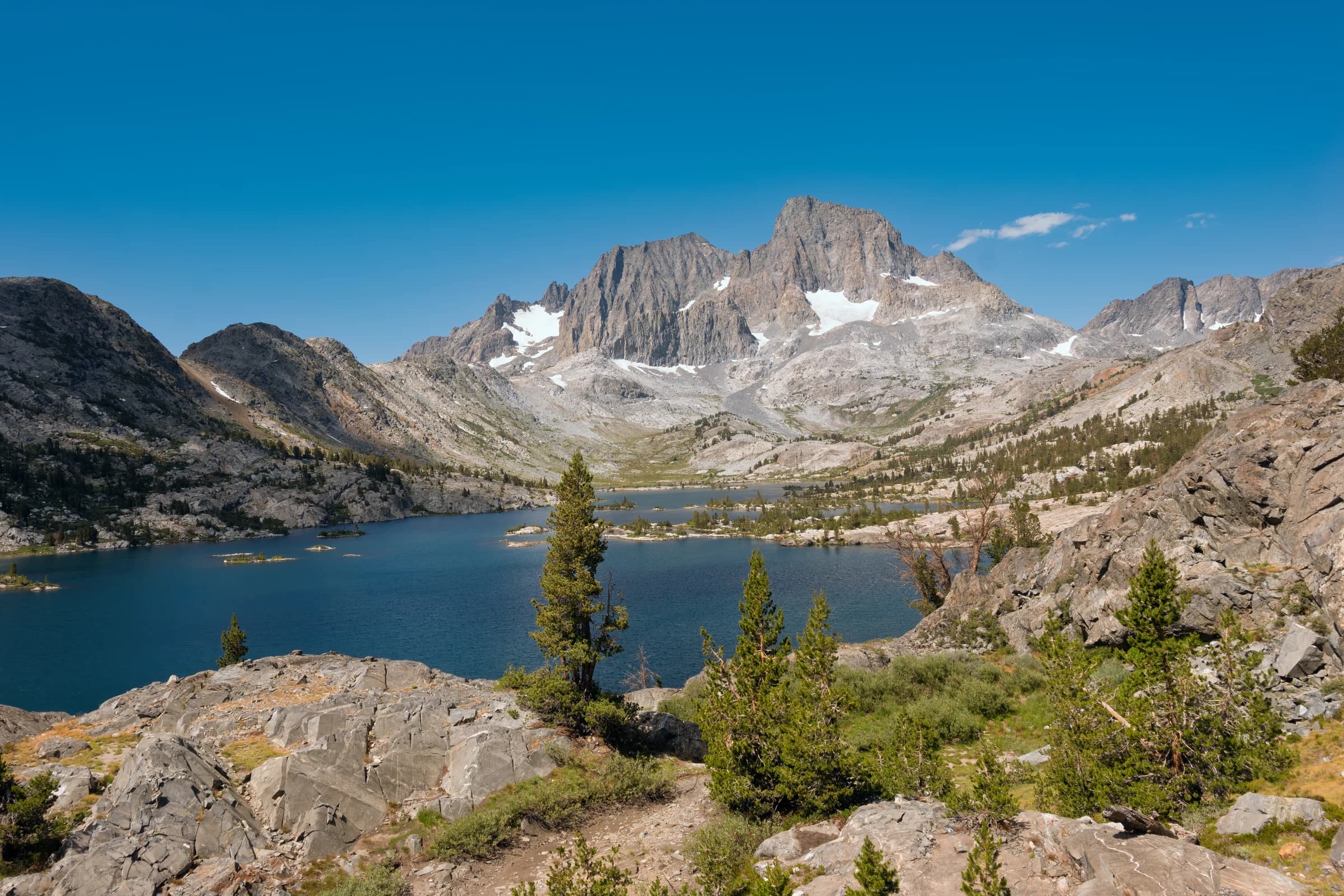
It was a long, tiring day from Silver Lake, with beautiful views of June Lake on the way up. The trail eventually joined the River Trail, and we were presented with an astonishing sunset at Thousand Island Lake. I have hiked through this wilderness several times, and Thousand Island Lake has become one of my happy places in California and worldwide.
Thousand Island Lake has become one of my happy places in California and worldwide.
Day 2: Thousand Island Lake to Rosalie Lake
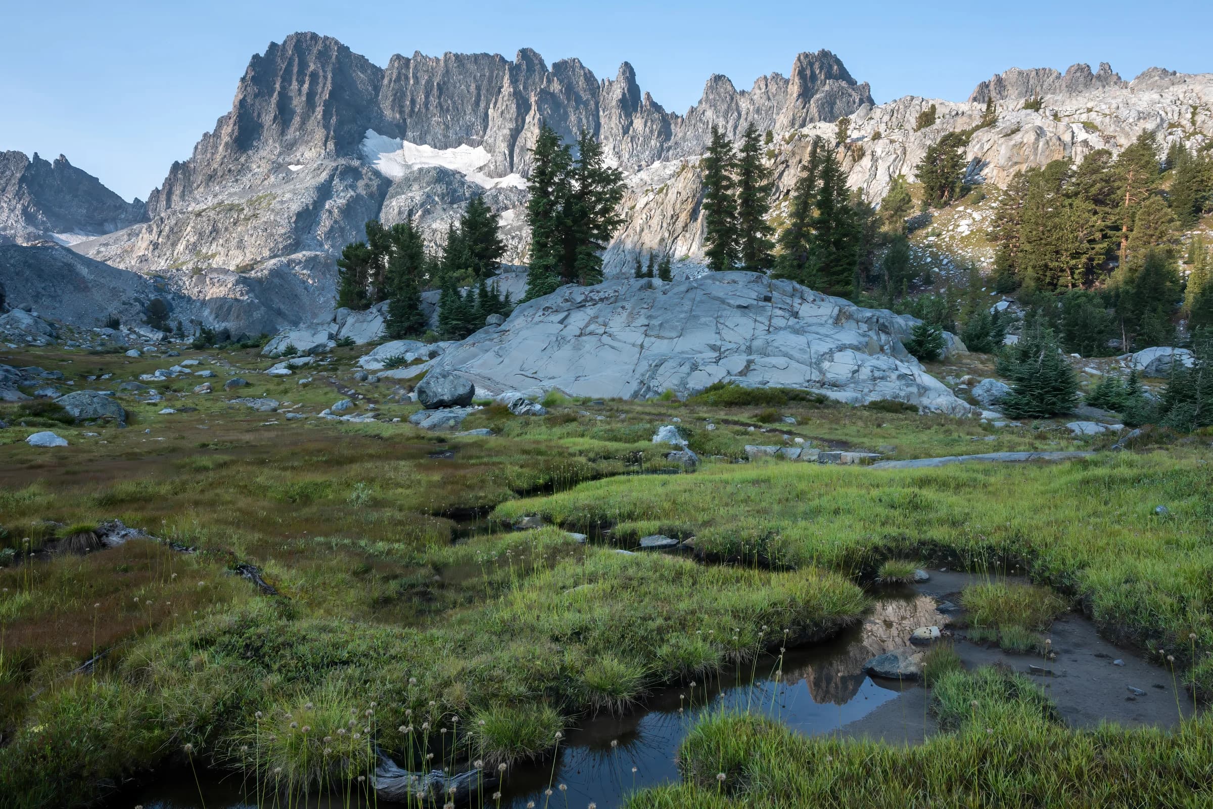
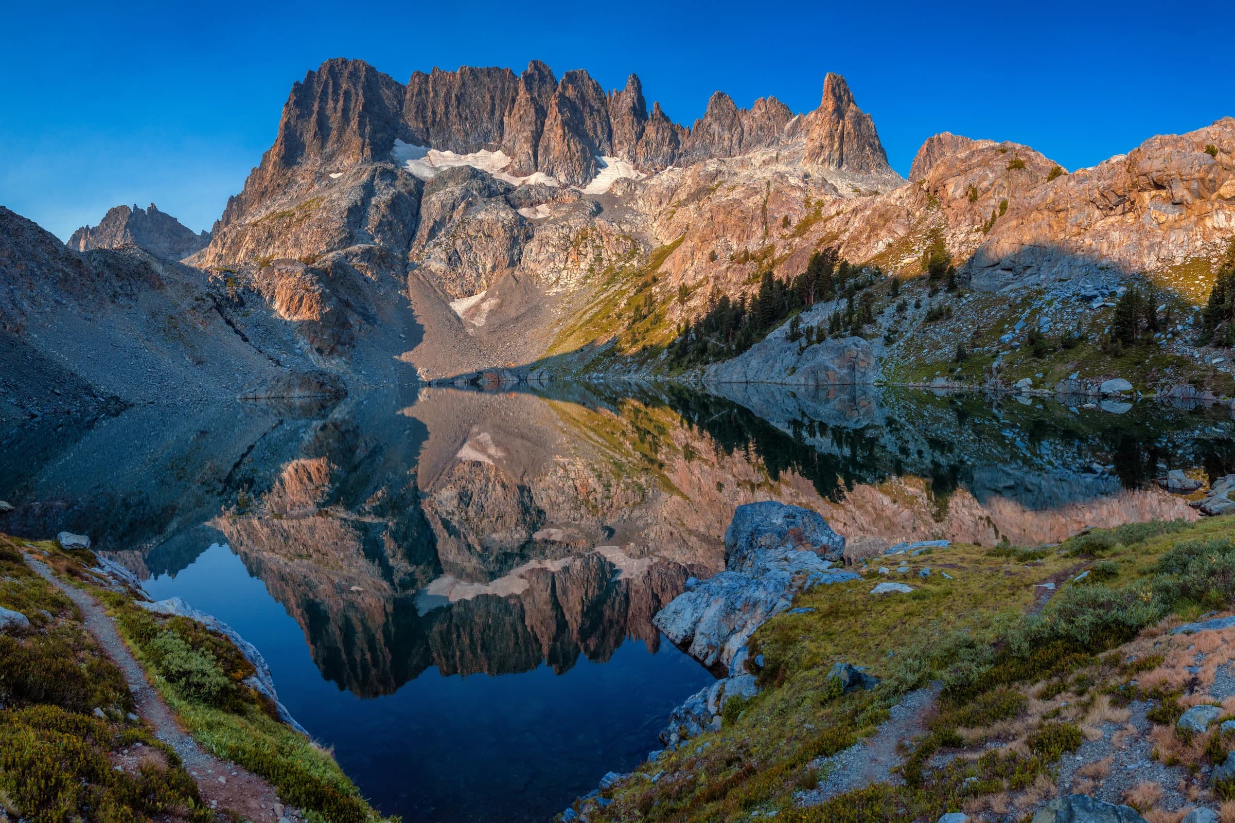
I hiked from Thousand Island Lake to Rosalie Lake. The trail passes Garnet Lake, and a short detour up Shadow Creek leads to Ediza and Iceberg Lakes beneath the Minarets.
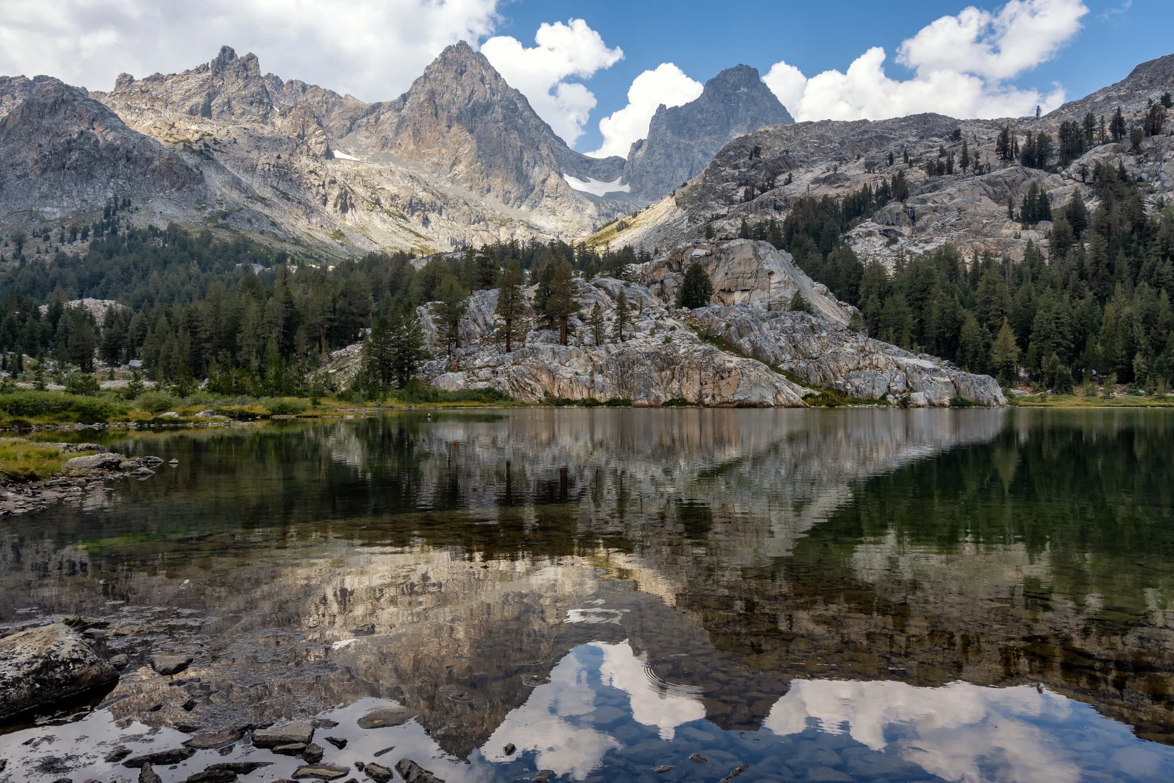
Ediza and Iceberg Lakes are a worthy detour; I have hiked Lake Ediza on its own twice, and the Minarets are quite a sight up close.
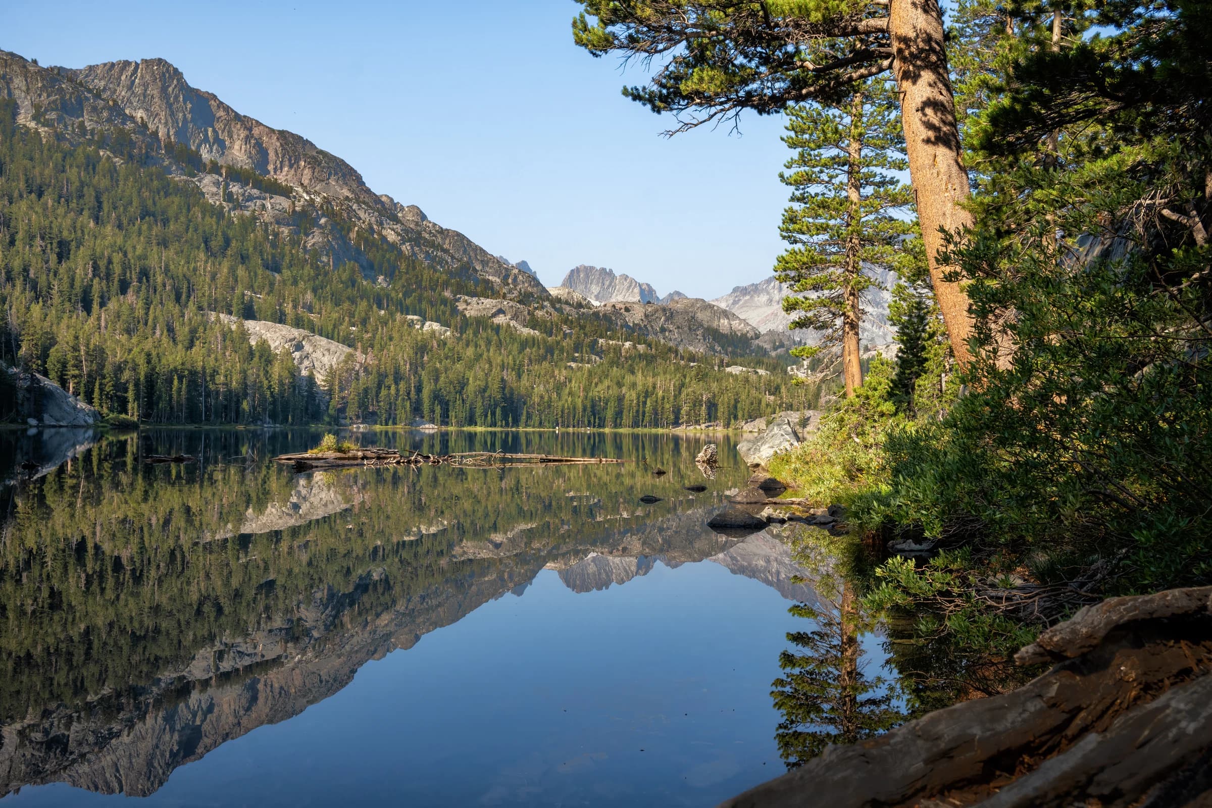
On the JMT, we went around Shadow Lake, crossed the bridge, and continued on the trail. There is a steep climb, about 700 feet over 0.8 miles, up to Rosalie Lake. Shadow Lake gives the first close-up view of the Minarets. On my 2018 trip from Agnew Meadows, I came up to Shadow Lake the other way, a short but steep climb along a run of cascading waterfalls on its outlet. It is best done before the sun is out; I started late and suffered through it. From Rosalie the trail passes Gladys Lake before the long descent through lodgepole forest toward Reds Meadow. I camped at Rosalie Lake; on a hot day, Shadow Lake is a great place to take a dip, which is what my group did. I have gotten used to taking midday dips in the water if it gets too hot. No point suffering in the sun.
Day 3: Rosalie Lake to Reds Meadow
This day took me from Rosalie Lake to Reds Meadow. I went to see Devils Postpile, just off the trail here, and saw the hexagons on top of the columns. It is a wall of columnar basalt from a lava flow that cooled less than 100,000 years ago; a glacier later planed the tops flat. Rainbow Falls, a little farther down the San Joaquin, drops 101 feet and gets its name from the mist-borne rainbow that shows up in the afternoon sun.
Reds Meadow is the first easy resupply since Tuolumne: a short shuttle connects it to Mammoth Lakes, and the store and café are a welcome stop after the wilderness. Reds Meadow was my first resupply point. If you can, reserving a cabin at Reds Meadow is a good idea: there are hot showers and a washing machine and dryer, and you are close to the well-stocked store, which also keeps a hikers' box. One of my friends who will remain unnamed put all his clothes in the washer and sat with a towel around his waist for hours as the temperature dipped; my campsite was a quarter mile downhill, and it was probably sillier to walk in a towel than to sit in one.
Reds Meadow sits at about 7,600 feet, far below the passes on either side, which means that once you leave, you are climbing again.
Day 4: Reds Meadow to Duck Lake
It is a steep climb out of Reds Meadow. In early July, Devils Postpile was nearing 100°F, and the few miles of climb were a lot of suffering, but Cascade Valley provided great views and a good place to camp. Cascade Valley is a great place to spend a few days on its own.
The rest of the day was a slow, long climb toward Duck Lake, with fantastic views of the Mammoth region.
Day 5: Duck Lake to Nüümü Hu Hupi
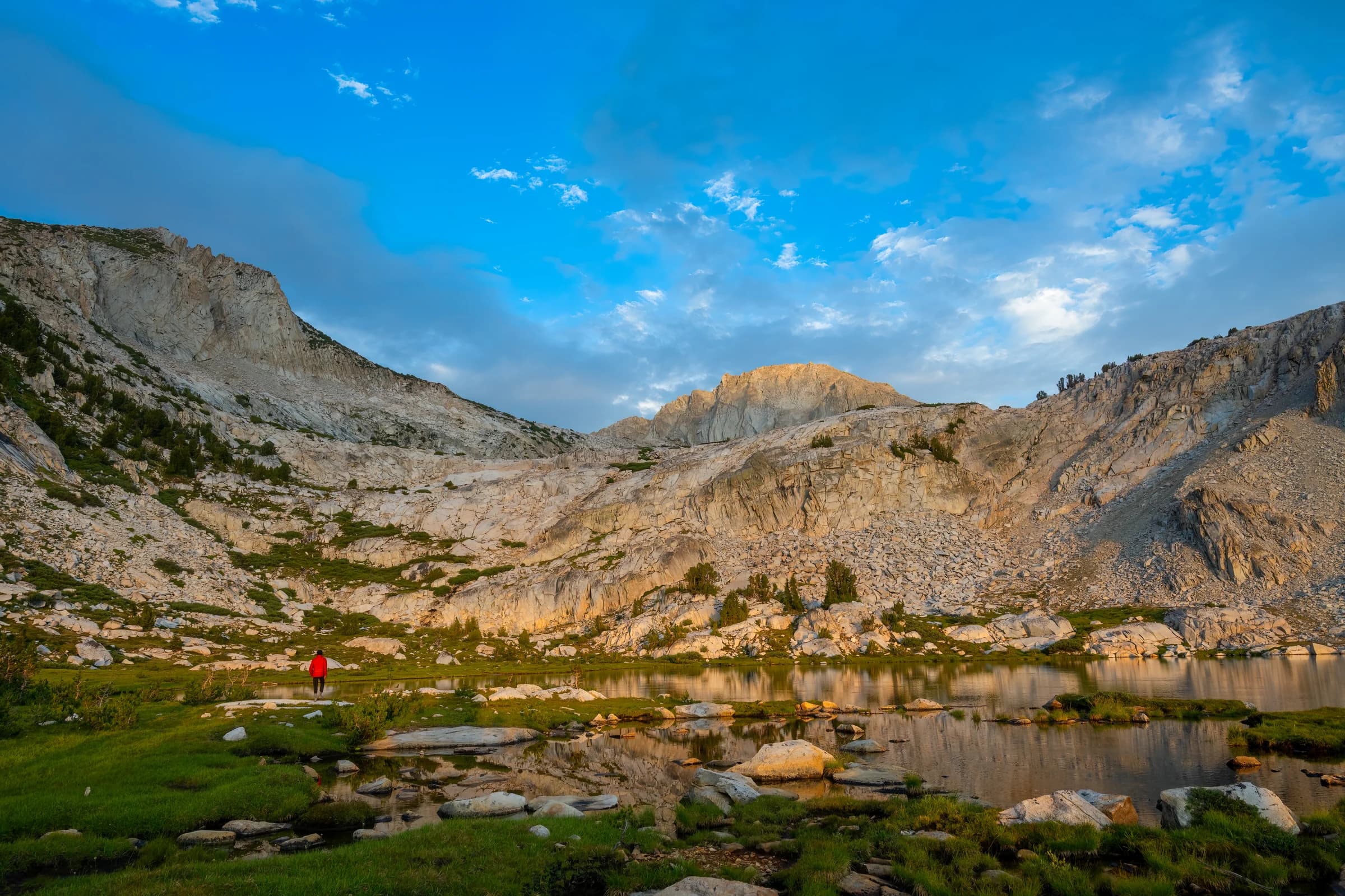
Nüümü Hu Hupi is just before Silver Pass. Purple Lake is right on the trail (one of the pretty ones), but on a section hike, and as a slow hiker with clouds building overhead, I grabbed a photo, fixed the place in my mind, and told myself I would come back and camp there someday. In the documentary "Mile, Mile and a Half", the hikers camp at Purple Lake, and the mountains around Purple Lake are beautiful. I would like to do the same.
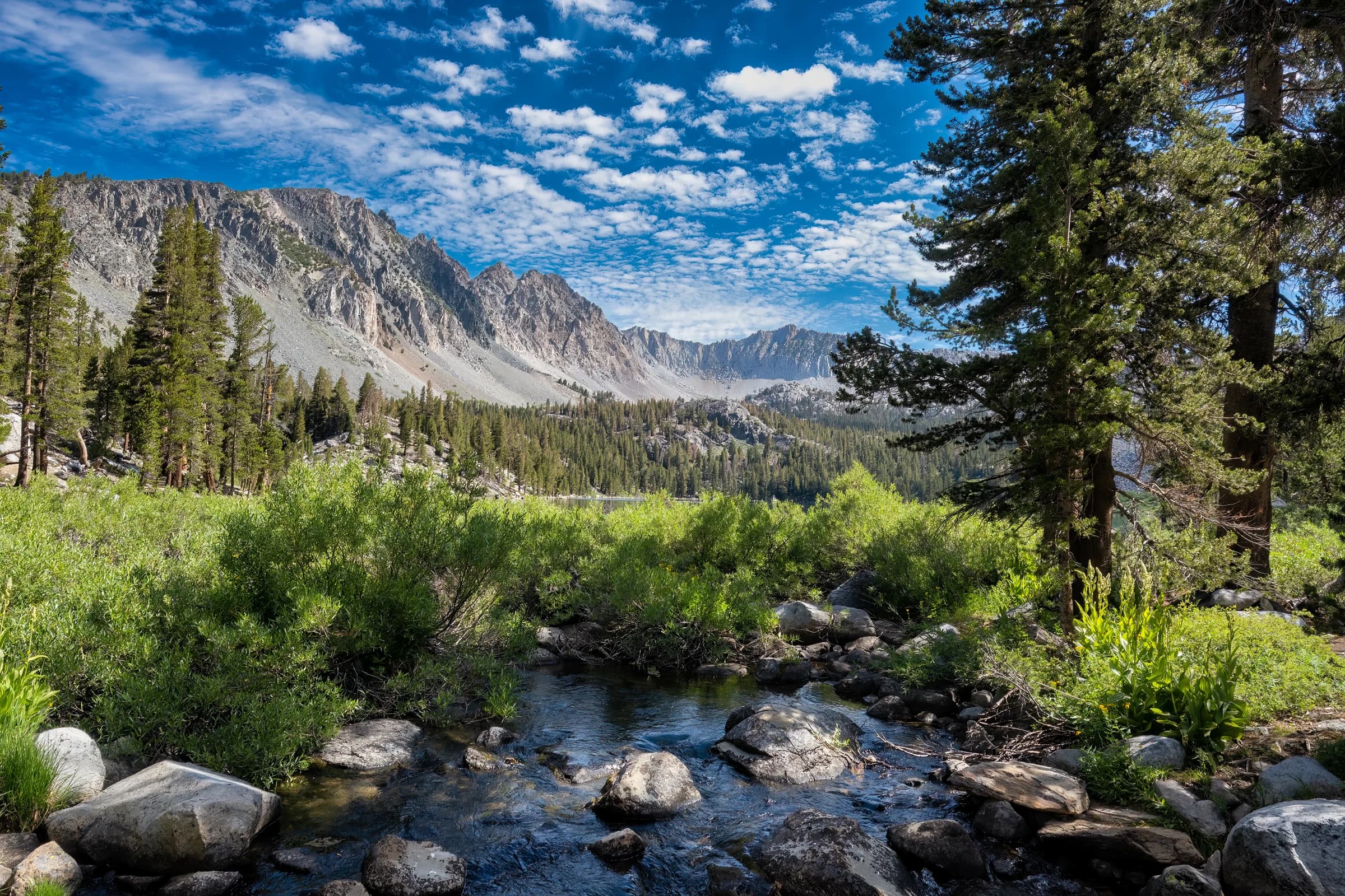
Lake Virginia, right on the trail, is grand: one of the bigger lakes I had seen, with room to camp and rest, a destination in itself. I was running from the rain and couldn't linger. Past it, a steep switchback descent leads into Tully Hole, a landmark I'm sorry to say I mostly missed: thunder started as I crossed Lake Virginia, and in the rush to reach camp I took a wrong turn, jumped off the side trail to correct it, and rolled my ankle. I hustled uphill in the storm (crouched among the trees in the lightning position when the thunder got close) and somehow reached Nüümü Hu Hupi without being drenched.
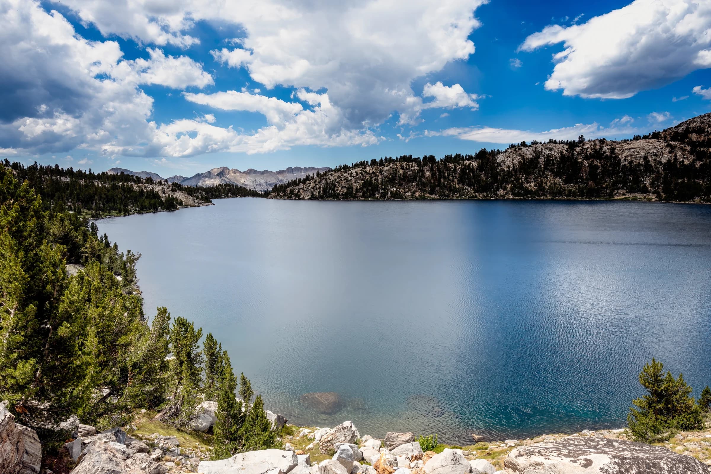
Nüümü Hu Hupi sits just above 10,000 feet, right below Silver Pass; on the JMT you often camp just before a pass so you can climb it on fresh legs. Once the clouds cleared that evening, I was blessed with one of the best sunsets of the whole trail. The next morning I spent an hour submerging a leaking air mattress in the lake, hunting for the hole: the adventures of being on the trail.
The lake carried the name "Squaw Lake" on maps until 2022, when the U.S. Board on Geographic Names renamed it, along with hundreds of other "Squaw"-named features across the country, because the word is a slur historically used against Indigenous women. The new name, Nüümü Hu Hupi, comes from the Nüümü (Paiute) language.
Day 6: Nüümü Hu Hupi to Mono Creek, over Silver Pass
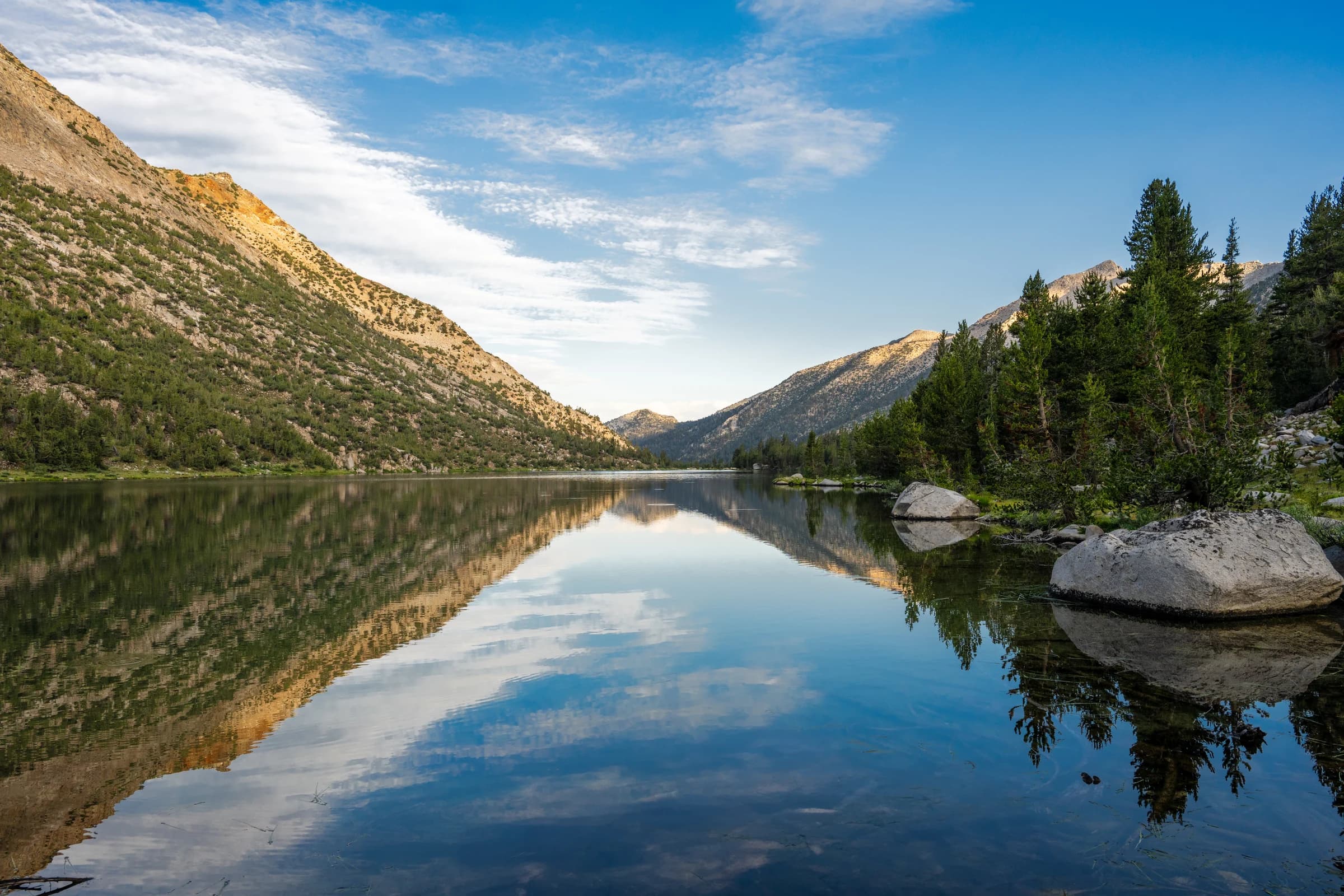
I climbed Silver Pass first thing in the morning, glanced right to Chief Lake, a small lake with arresting reflections, and near the summit turned back to see my friend coming up with Banner Peak and Mount Ritter towering behind him. Those two peaks stayed in view for forty miles after I left them, a reminder of how far we had come, but also of how close the mountains still felt. Silver Pass tops out at 10,740 feet.
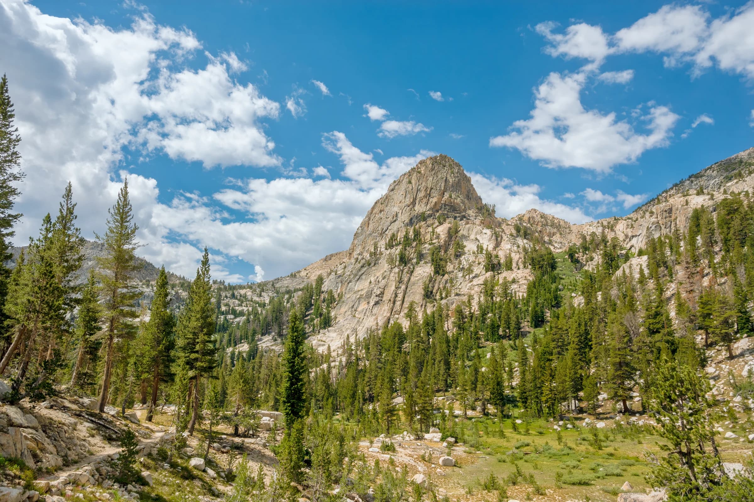
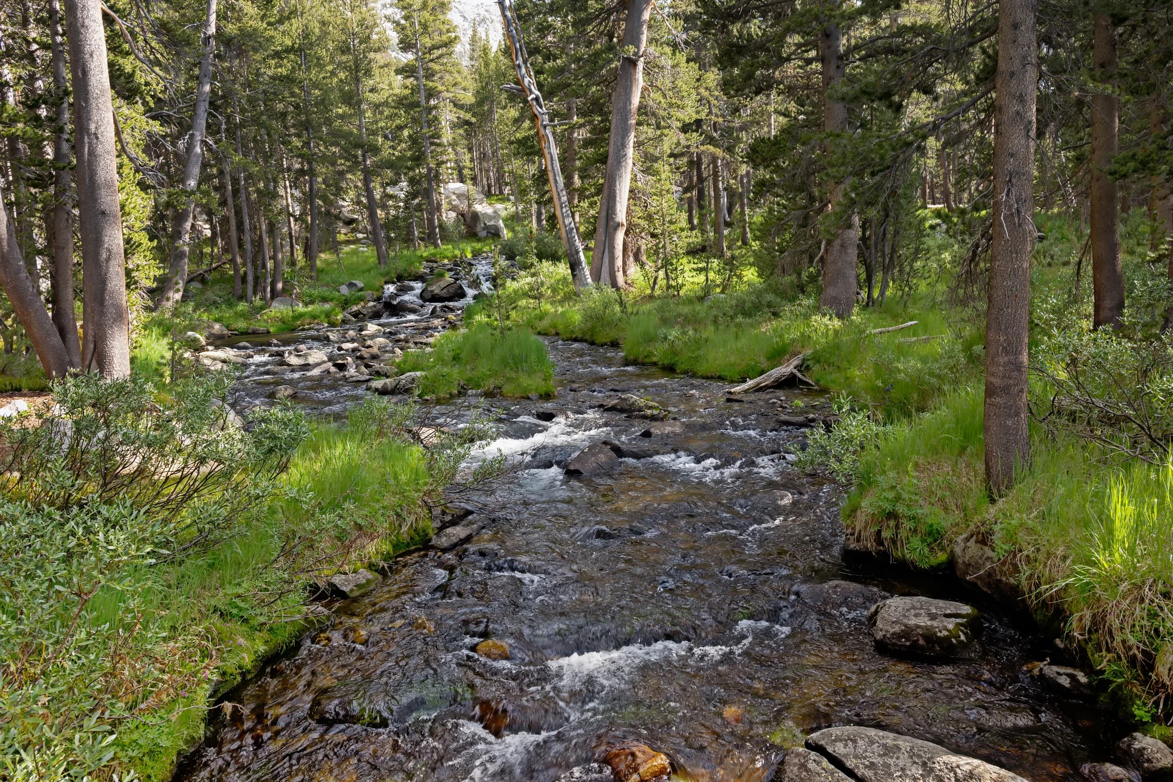
After Silver Pass came a short day down to Mono Creek (I kept it short to avoid climbing the Bear Ridge switchbacks late in a thunderstorm), the closest point to drop off toward Vermilion Valley Resort. This is where I camped. Vermilion Valley Resort (VVR) sits on Edison Lake in Vermilion Valley, just off the trail to the west. It is a side trip, not on the JMT itself; hikers reach it by a ferry across Edison Lake, and many resupply there.
Days 7 and 8: Mono Creek to Muir Trail Ranch, over Selden Pass
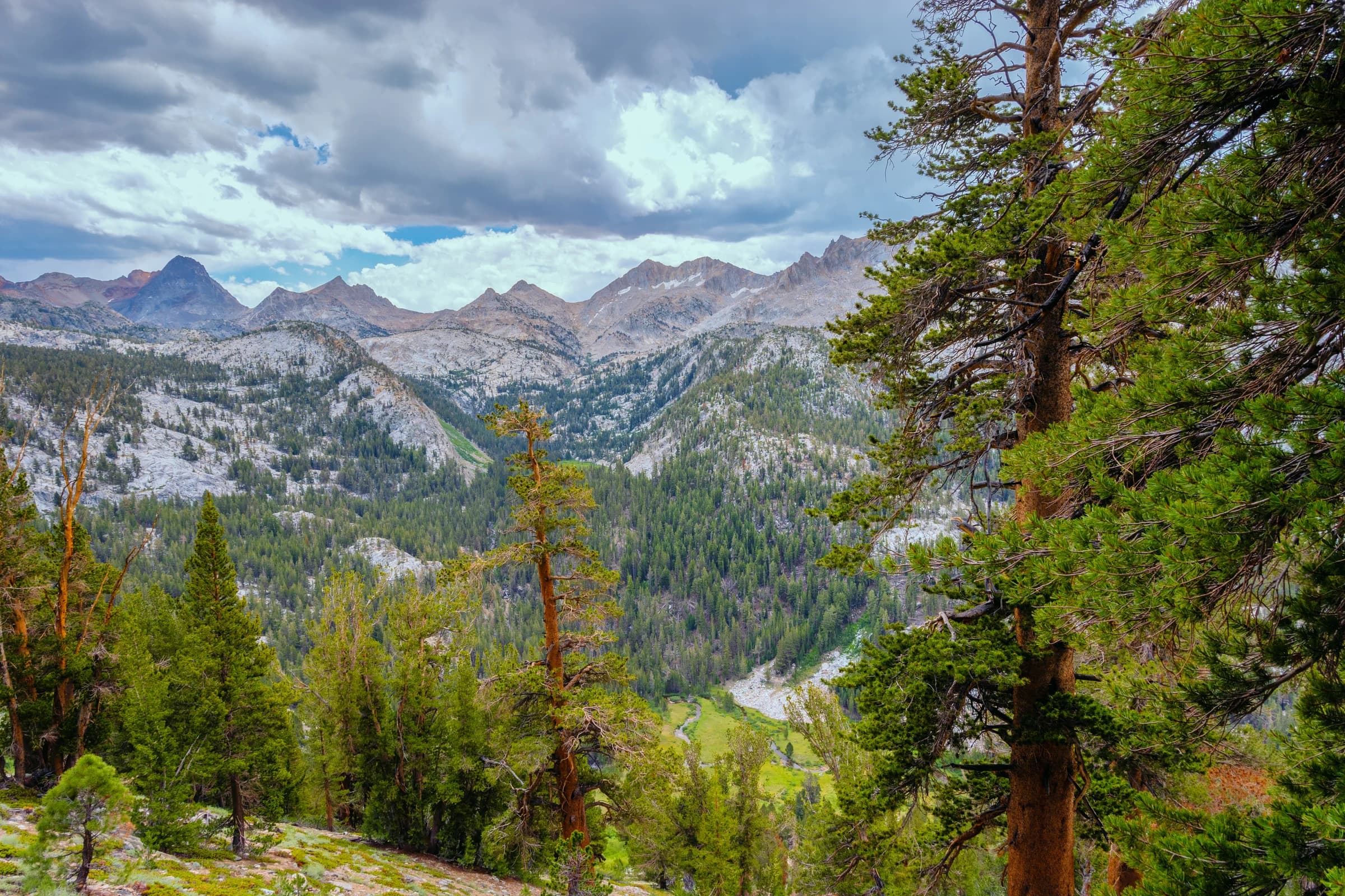
The first day was a long, demanding climb to the Rose Lake inlet, and the next was a free-fall descent to Muir Trail Ranch, with thunderstorms pushing me the whole way. Sallie Keyes Lakes, just after Selden Pass (10,900 feet, named for USGS surveyor Selden Stuart Hooper), were gorgeous. Some hikers skip the Bear Ridge switchbacks by exiting to VVR and re-joining after them; I am glad I did not, because I got my trail name, "Last Leg," at the end of those switchbacks.
When I arrived, "Bridges," a PCT thru-hiker and a teacher from the Big Island of Hawaii, asked me who I was. I told him I was the "last leg," since there were two fathers and two sons. I also told him I am always on my last leg. He gave me my trail name.
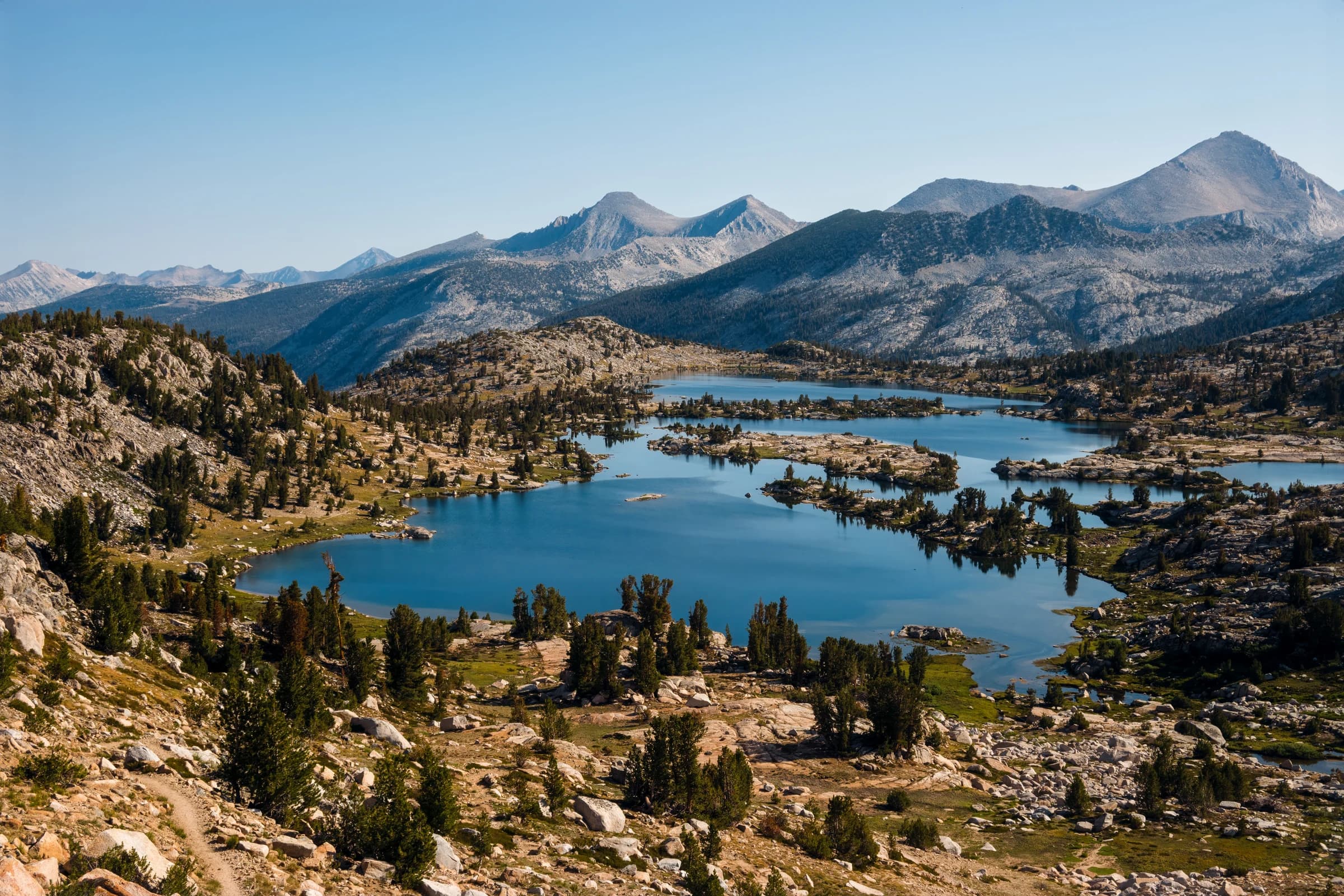
I did not stop at VVR during the section hike. However, I visited VVR with my family for a Labor Day long weekend. You can drive there from Fresno (you need a car that can handle the treacherous last few miles). We visited the hot springs nearby and spent time hiking around the lake.
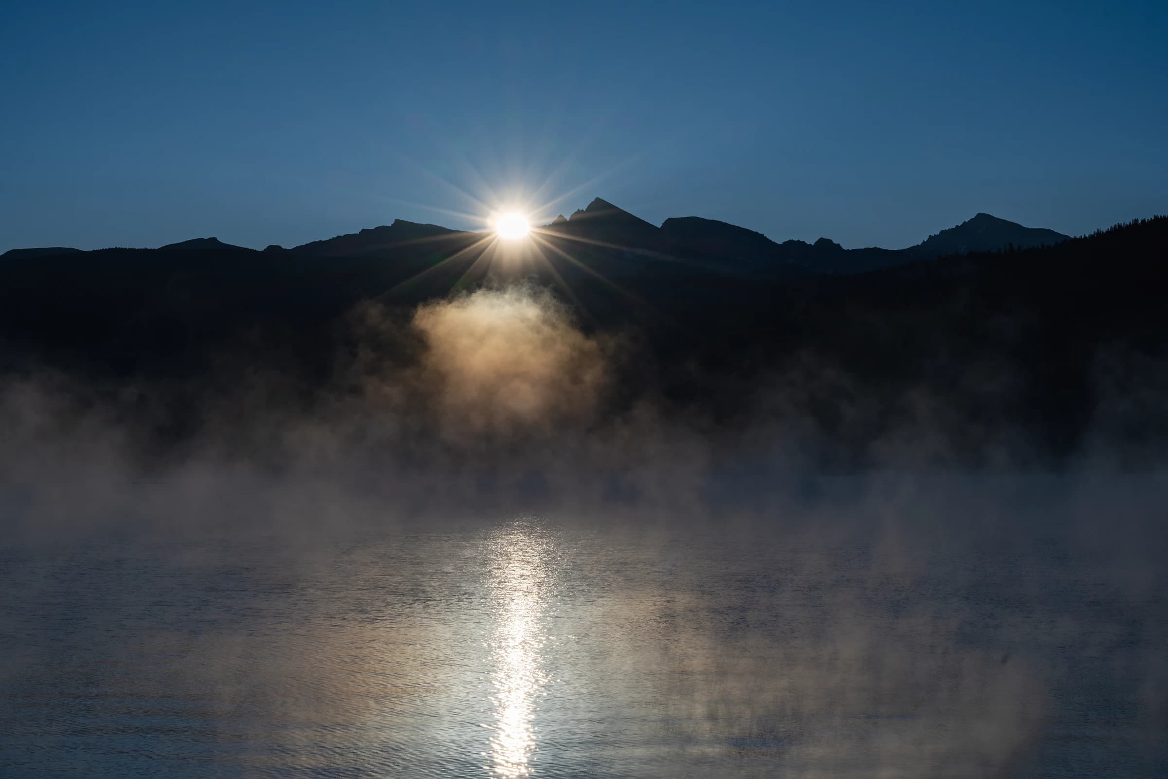
Muir Trail Ranch sits right in the middle of the John Muir Trail and is a popular resupply point. Some hikers refill at MTR and hike all the way to Mount Whitney. Others stock up again at Charlotte Lake, and some leave the trail for Onion Valley. For northbound hikers, MTR is again a key stop. It also has cabins to stay in, reserved well in advance. There are guided horseback tours that take visitors to Evolution Valley from here as well.